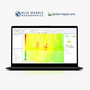
Virtual Surveyor
-
Description
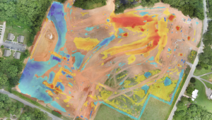
Topographic Surveys
Combine the power of your brain to interpret complex topographies with the calculation power of the computer to create drone surveys in very short times.
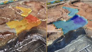
Mining & Quarrying
Construction Earthworks
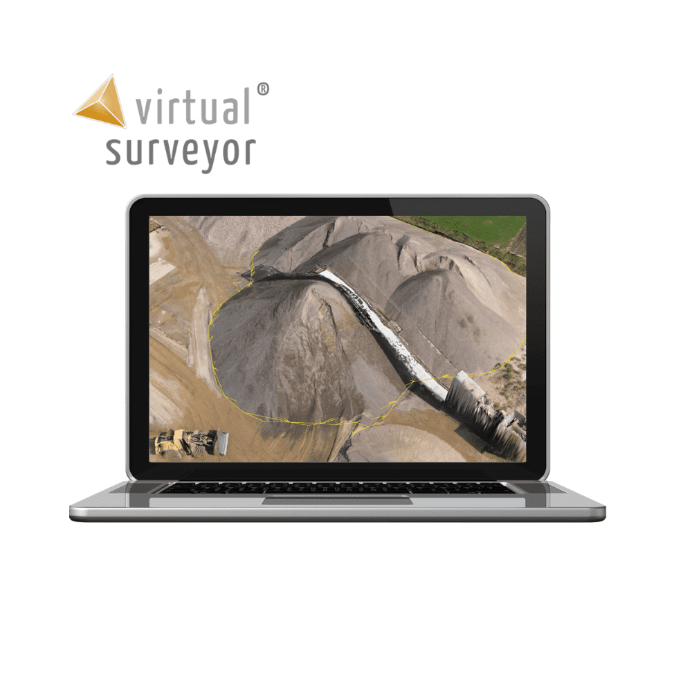
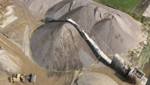
Stockpile Inventory
The drone mapping workflow
 Flying. The Drone Operator flies with a drone and acquires a set of pictures of the project site.
 Photogrammetry. The Photogrammetrist creates an orthophoto and elevation model from the pictures.
 Civil Design. The Civil Designer uses the survey outputs to create a civil design in a CAD design software.
The total drone surveying workflow
Creating a topographic survey with a drone is a completely different process compared to a terrestrial survey with the boots on the ground.
A topographic surveyor models the outside world by measuring as few points and lines as possible, while surveying with a drone requires flightplanning, piloting, an entire logistic operation and photogrammetry.
Another big challenge is that the orthophotos, elevation models and point clouds coming out from the photogrammetry process differ completely from what the engineers expect the surveyor to deliver. Civil or mine engineers want a lightweight but meaningful CAD model that they can load directly in their CAD design software packages.
Drone mapping at Kardia mine
- Flight planning with eMotion software.
- Drone flight with the eBee RTK from SenseFly.
- Removal of conveyors, measurement of volumes and drawing of breaklines with Virtual Surveyor software.
- Constructing future excavations with Anadelta Tessera software.
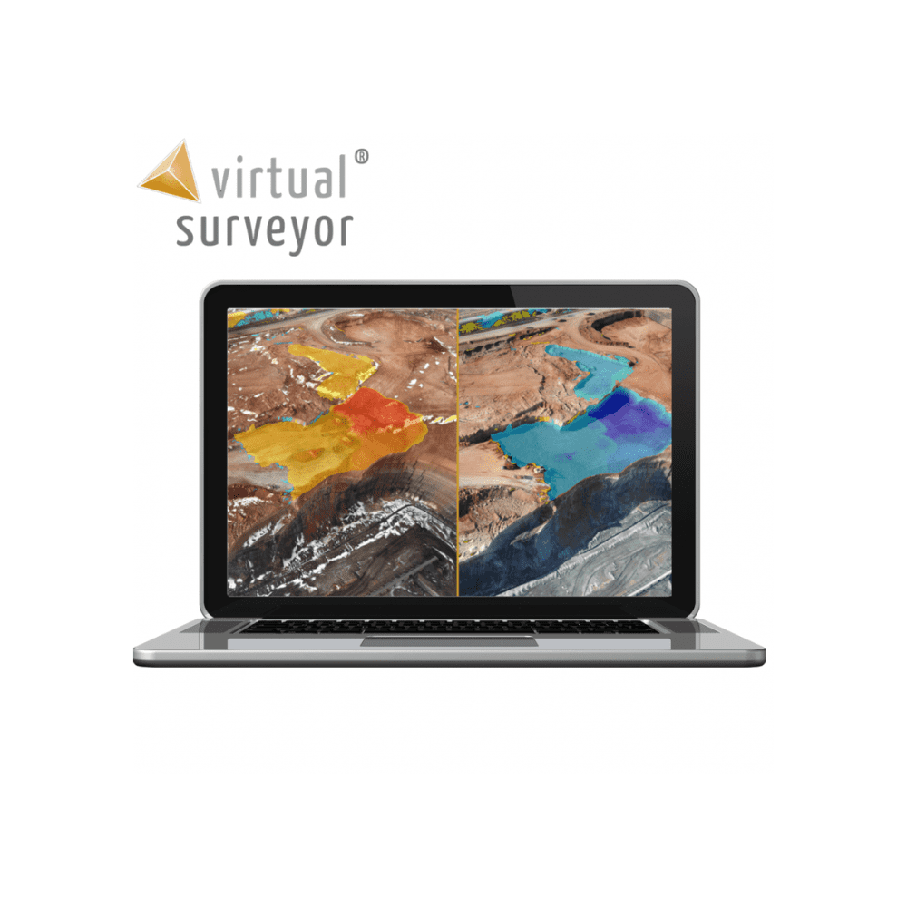
Survey points and break lines
Draw points, point grids, lines and polygons in a realistic virtual environment. Save on the field work, save time and work from the comfort of your office with the ability to analyse the environment at different angles.

Create and import surfaces
Create a triangulation from your survey and verify instantly with your terrain. Improve the model by adding points or break lines and triangulate again, giving you an accurate survey that truly represents the topography.

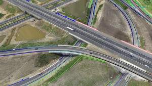
Quickly add section lines to road surveys
Simply create a centre line for the road, then add and densify section lines to create road surfaces quickly and accurately, modelled on the existing topography.