

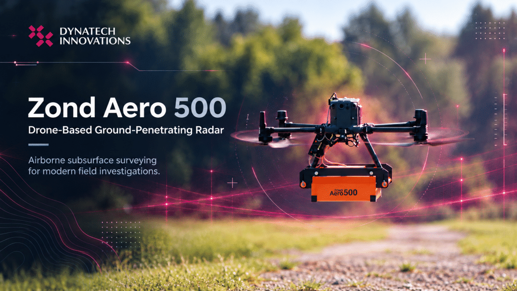
Zond Aero 500: Bringing Ground-Penetrating Radar to Drone Surveys
What if surveying the ground below didn’t always require your team to...
Read More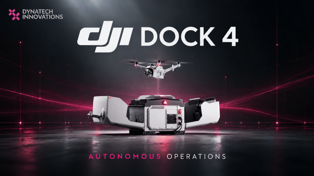
DJI Dock 4: A New Era of Automated Drone Operations and Rapid Response
What if an enterprise drone could respond to an emergency, capture critical...
Read More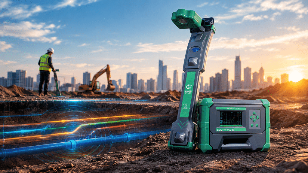
South PCL-30 Pipe & Cable Locator: Reliable Underground Utility Detection
What lies beneath the ground can be just as important as what...
Read More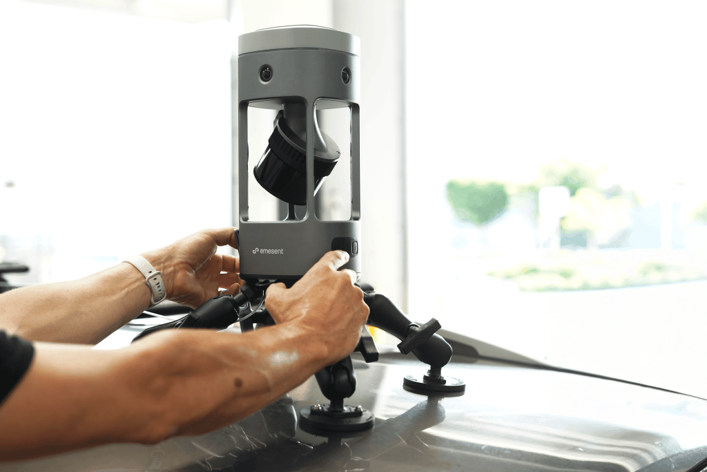
Emesent GX1: Faster, More Accurate Mobile LiDAR Scanning for Surveying and AEC
Modern surveying projects demand more than simply collecting point cloud data. Survey...
Read More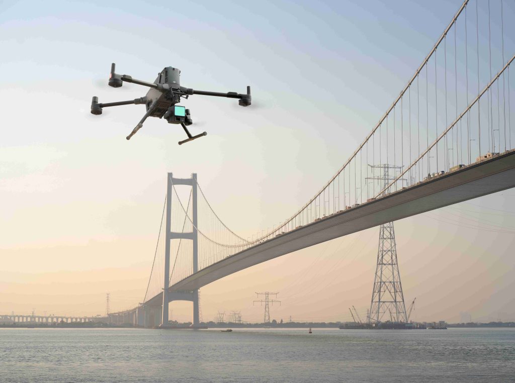
DJI Matrice 400 in Infrastructure Inspection: Tips for Power Line, Bridge & Tower Survey
Every year, infrastructure inspections expose workers to significant risks, whether climbing communication...
Read More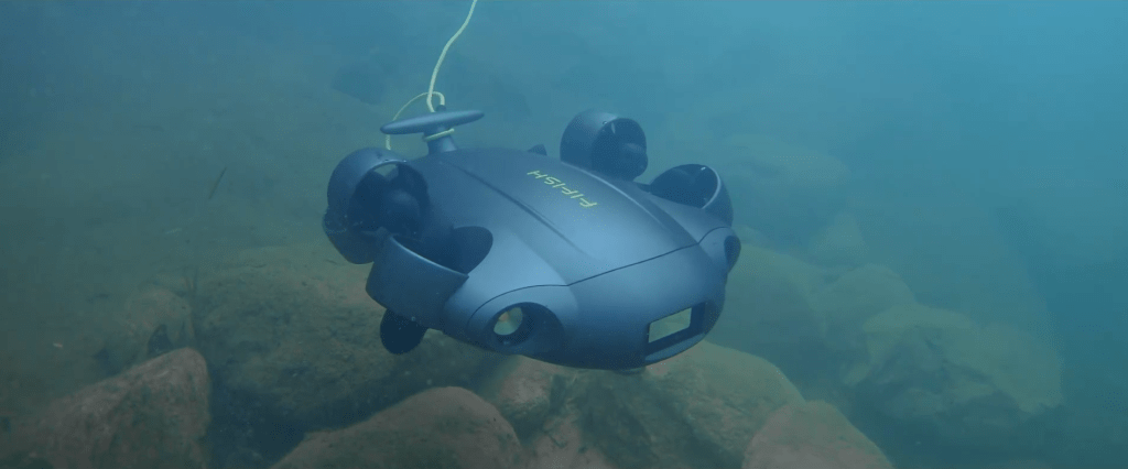
QYSEA V6 Expert in Environmental Monitoring: Mapping, Water Quality & Real-Time Data
What if a single underwater mission could capture detailed habitat imagery, collect...
Read More