


Automated Infrastructure Monitoring: How Dock 3 & Matrice 4D Work Together
Infrastructure failures rarely happen without warning, but traditional inspection methods often make...
Read More
Precision at Every Point: How South GNSS RTK Hybrid Supreme Enhances Survey Accuracy
Surveying today is no longer just about measuring land. It is about...
Read More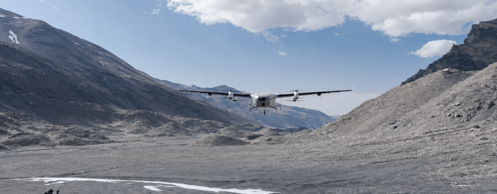
Introducing the DJI EV50: The First eVTOL Cargo Drone Built for Long-Range Logistics
Getting critical cargo to a remote worksite, a disaster zone, or an...
Read More
Beyond Depth: How the FIFISH E-Master Navi Transforms Industrial Underwater Surveying
The most critical defects in an asset are often the ones no...
Read More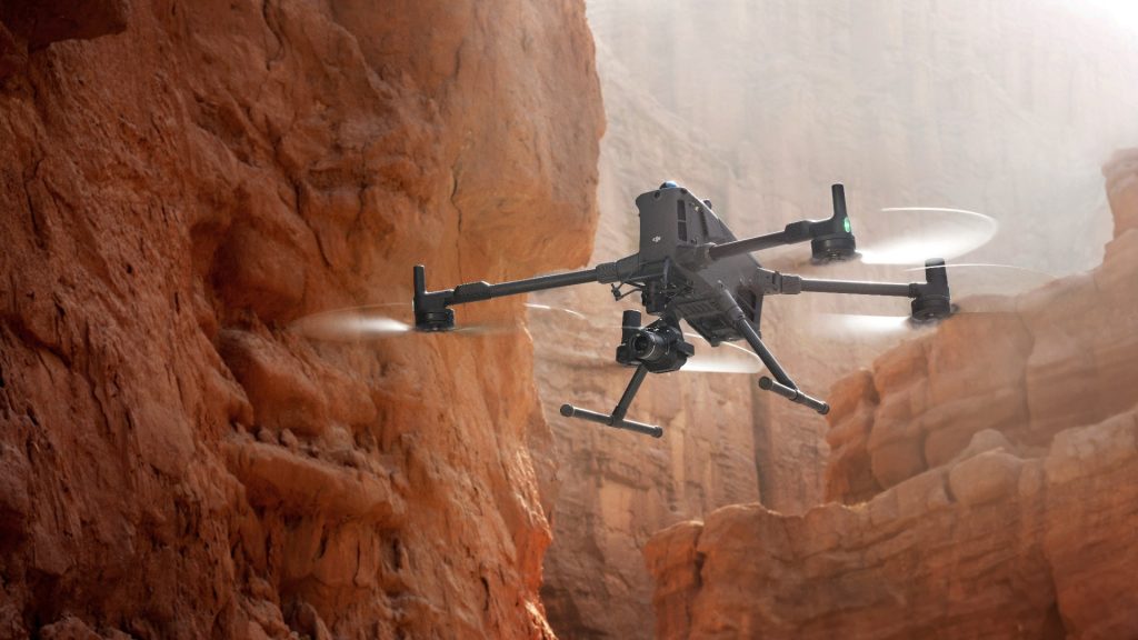
Advanced Obstacle Sensing on the Matrice 400: Real Scenarios Where It Saves Missions
Most drone missions do not fail because of poor piloting. They fail...
Read More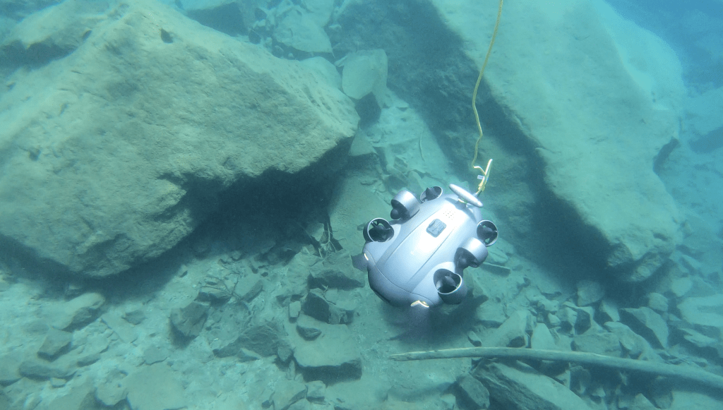
From Hull to Harbour Floor: Best Practices for Using QYSEA FIFISH V6 Expert in Marine Inspections
What happens below the waterline is often only discovered when a problem...
Read More