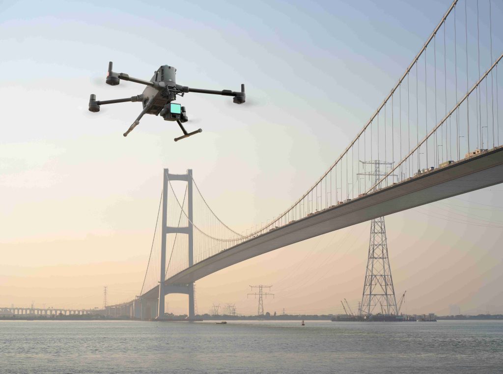

Most drone missions do not fail because of poor piloting. They fail because of what the pilot cannot clearly see in time. A thin power line blending into the background, a crane arm extending beyond a construction site, or uneven terrain rising unexpectedly can turn a routine flight into an abrupt stop or a damaged aircraft.
The DJI Matrice 400 is built for these kinds of environments where visibility and complexity overlap. It integrates a multi-layer obstacle sensing system that combines rotating LiDAR, mmWave radar, and a binocular vision system. Working together, these sensors create a more complete awareness of the surroundings, even when conditions are difficult or visually confusing. This is supported by an omnidirectional detection layout, allowing the aircraft to sense obstacles from multiple directions rather than relying on a single forward view.
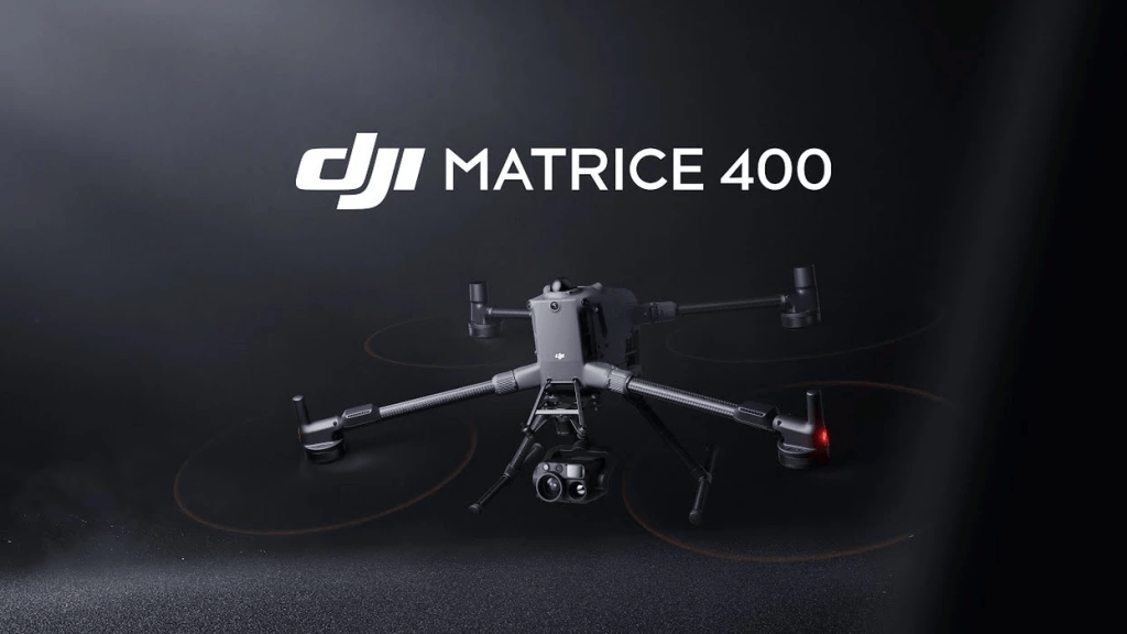
With a long-endurance platform designed for enterprise operations, including extended flight time and robust environmental resistance, the Matrice 400 is positioned for utility, inspection, and public safety missions where reliability matters more than ideal conditions.
The real advantage becomes clearer when these systems are put into action. In the field, obstacle sensing is not just about avoiding impact. It is about keeping missions moving in environments where delays are costly and risks are unpredictable.
Utility Inspections Near High-Voltage Power Lines
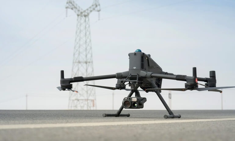
Power line inspection is one of the most demanding use cases for enterprise drones. Operators often fly along transmission corridors, substations, and distribution networks to detect faults, vegetation risks, and structural issues. These environments leave very little room for error, especially when the aircraft is operating close to energized infrastructure.
The biggest challenge is detection. High-voltage lines are thin, difficult to visually distinguish against complex backgrounds, and can appear almost invisible in certain lighting conditions. Wind drift and long linear flight paths also increase the chance of unintended proximity to obstacles.
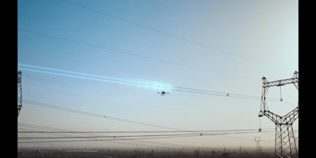
This is where the DJI Matrice 400’s sensing architecture becomes critical. Its rotating LiDAR and mmWave radar work together to detect fine obstacles like wires, while the binocular vision system helps interpret surrounding structures in real time. The omnidirectional sensing layout provides coverage around the aircraft, not just in the forward direction, which is important when flying parallel to long cable spans. Combined with GNSS positioning and stable flight control, the system helps maintain safer routing along tight corridors.
In practical terms, this reduces last-minute evasive movements and helps operators focus on capturing inspection data instead of constantly correcting flight paths.
Urban environments present a different type of complexity, where obstacles are larger, denser, and far less predictable.
Urban Building and Infrastructure Inspections
Urban drone operations place aircraft in tightly packed and constantly changing environments. Bridges, high-rise buildings, communication towers, and construction sites all require precise flights where small misjudgments can lead to delays or aborted missions.
The main challenge is obstacle density. Tower cranes, steel frameworks, rooftop equipment, and narrow gaps between buildings create layered risks that are hard to judge visually, especially when working at different heights or angles along a structure.
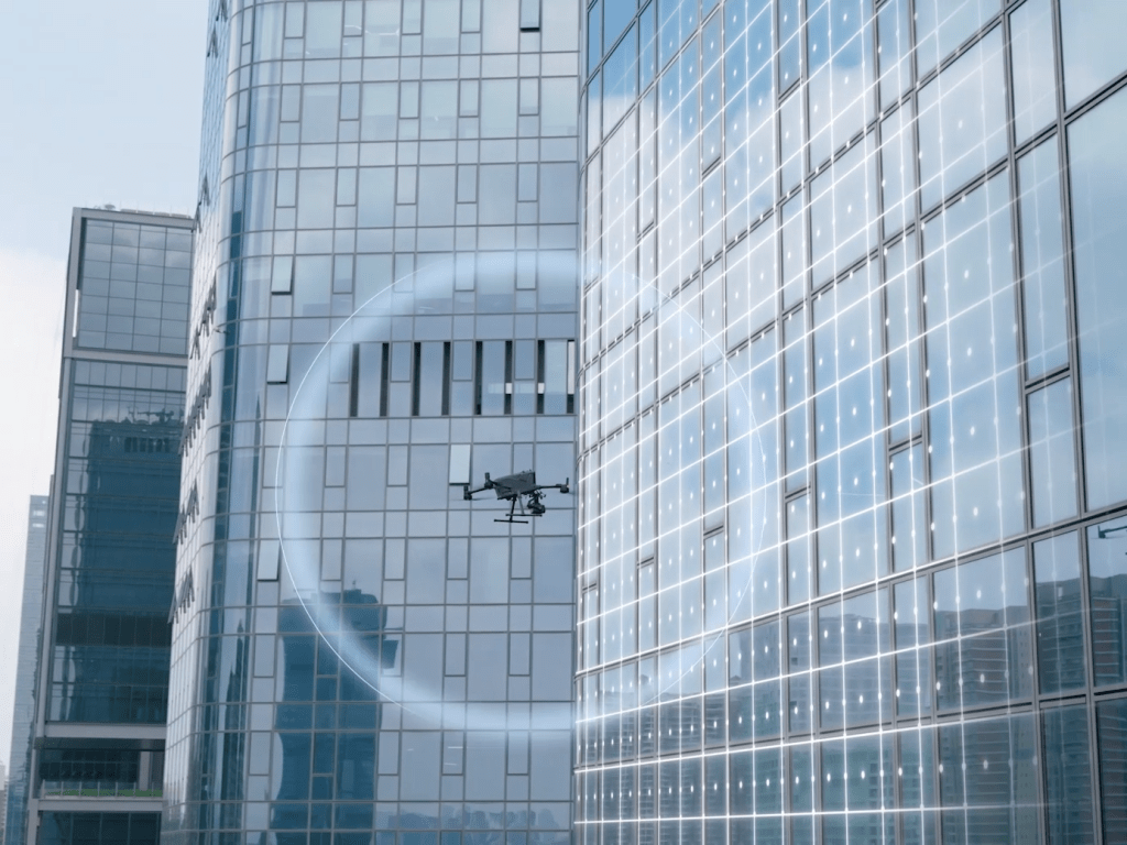
The DJI Matrice 400 addresses this through its omnidirectional sensing system, combining rotating LiDAR, mmWave radar, and binocular vision. This multi-sensor setup helps detect obstacles from multiple directions, not just in front of the aircraft. Paired with stable flight control and precise positioning, it supports safer navigation in confined spaces while maintaining smooth inspection paths.
In practice, this reduces the need for constant repositioning and allows crews to focus more on collecting consistent, usable data.
When visibility drops, urban complexity becomes even harder to manage.
Low-Light and Nighttime Operations
Many critical drone missions happen after sunset, when visibility is limited and risks increase. Search and rescue teams may be scanning large areas for missing persons, disaster response units are assessing damage, and public safety agencies rely on real-time aerial data. Infrastructure inspections are also often scheduled at night to avoid disrupting traffic and daily operations.
The challenge in low-light environments is obstacle detection. Structures such as trees, poles, buildings, and uneven terrain become harder to identify as visual detail fades, making navigation less reliable when relying on camera-based systems alone.
The DJI Matrice 400 addresses this through a multi-sensor perception system that builds a layered understanding of the environment beyond visible light. Instead of depending on a single input source, it fuses spatial detection and visual data to maintain awareness of nearby objects even in reduced lighting conditions. This works alongside GNSS positioning and stable flight control to help keep the aircraft on safer, more predictable paths.
In practice, this allows missions to continue beyond daylight hours with more confidence and fewer interruptions.
Darkness is not the only challenge. Weather introduces another layer of complexity that can affect flight performance and safety.
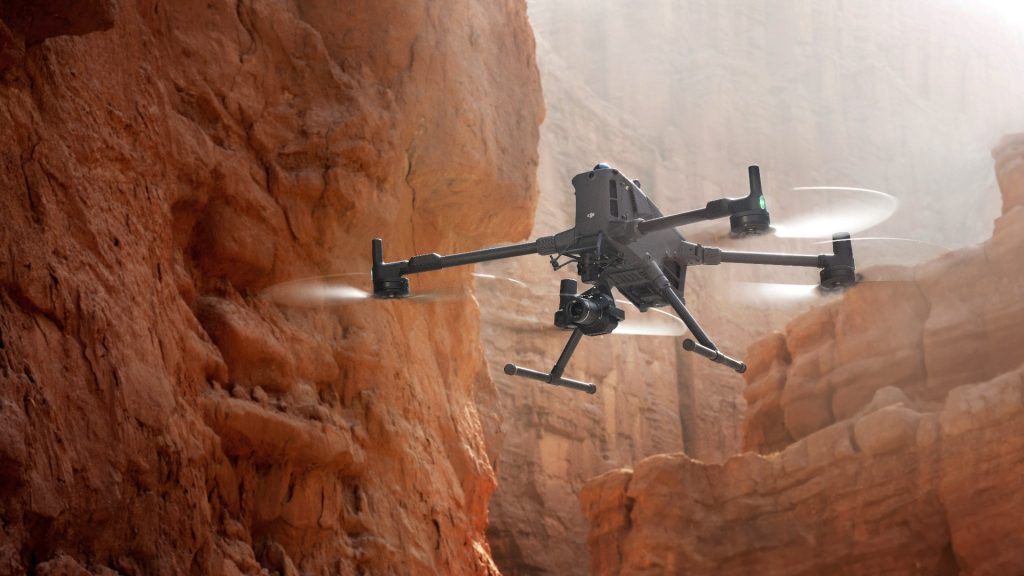
Flying Around Mountainous and Remote Terrain
Remote and mountainous environments are some of the most difficult settings for drone operations. Utility inspections, mapping missions, and environmental surveys often require long-range flights over uneven landscapes where conditions can shift quickly and ground references are limited.
The main challenge is terrain unpredictability. Rapid elevation changes, dense tree cover, and exposed rock formations can appear suddenly along a flight path. In addition, the lack of clear visual landmarks makes it harder for pilots to judge distance and clearance, especially during long outbound missions where return paths are not always straightforward.
The DJI Matrice 400 helps manage these risks through a layered sensing approach that continuously builds awareness of the surrounding environment. By combining onboard perception with positioning data and real-time flight control adjustments, it supports safer navigation across changing terrain. This allows the aircraft to better anticipate obstacles along its route rather than reacting late to sudden changes in elevation or nearby objects.
In practice, this reduces uncertainty during long-distance missions and helps crews maintain focus on data collection instead of constant manual correction.
These field-level advantages ultimately lead to a broader operational impact that goes beyond individual flights.
The Business Impact of Advanced Obstacle Sensing
Advanced obstacle sensing is not just about preventing collisions. For organizations running frequent drone operations, its real value shows up in overall efficiency and mission reliability.
When aircraft can better detect and respond to surrounding hazards, equipment damage becomes less frequent and unexpected downtime is reduced. This keeps operations moving instead of being interrupted by avoidable incidents or repairs. Pilots also gain more confidence in complex environments, which helps them focus on mission objectives rather than constant evasive adjustments.
Another key benefit is data consistency. Stable flight paths mean more repeatable inspection routes, which improves the quality of imagery and survey results. Over time, this leads to better decision-making because the collected data is more reliable and easier to compare across missions.
Ultimately, advanced sensing supports higher mission completion rates. It allows teams to operate more efficiently in challenging environments without sacrificing safety or accuracy.
The result is a system that does not just protect the aircraft, but strengthens the entire workflow from planning to execution.
From Safety Feature to Mission Enabler
Across all mission environments, one pattern is consistent. Whether operating near power lines, navigating dense urban infrastructure, flying at night, or covering remote mountainous terrain, the real challenge is not the flight itself but the hidden obstacles that can interrupt it.
The DJI Matrice 400 addresses this through a multi-layer sensing approach that enhances situational awareness in complex conditions. From detecting thin wires in utility corridors to supporting navigation in cluttered cities and maintaining awareness in low visibility or uneven terrain, it helps reduce unexpected disruptions and improve operational stability.
Still, obstacle sensing is not a replacement for good planning or skilled piloting. It works best as a support system that strengthens decision-making in the field and adds an extra layer of protection during demanding missions.
Ready to upgrade your operational capabilities? Explore the Matrice 400 through Dynatech Innovations, where you’ll find detailed specifications, configuration options, and expert guidance to match the platform to your specific mission requirements. When your work demands the best in obstacle sensing and all-weather reliability, Dynatech’s team can help you get it deployed and operational.
When your mission demands the best, this is what professional-grade obstacle sensing delivers.