-
-
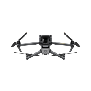
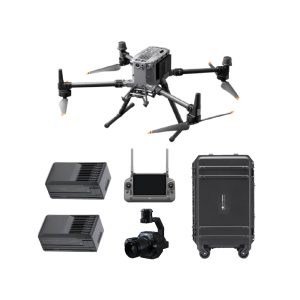
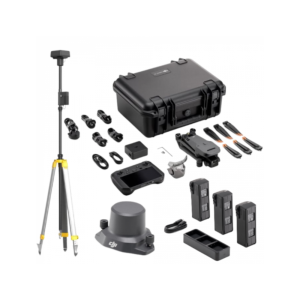
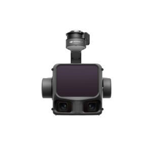
DJI Zenmuse L3
AED56,799.00 VAT Excl -


Surveying & Mapping Drones
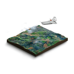
Drones have become indispensable in various industries, including surveying and mapping, offering enhanced efficiency and safety. They have seamlessly integrated into surveying processes, enabling tasks such as land surveys, photogrammetry, 3D mapping, and land surveying with remarkable success.
Dynatech Innovations – your premier destination for the best drone for surveying & mapping. We understand the critical role that precision and efficiency play in surveying projects, and our range of top-rated drones is meticulously curated to meet those needs. Utilizing cutting-edge technology and equipment, we prioritize safety and accuracy in all our drone services. Our drone services are tailored to meet the unique requirements of our clients.
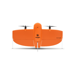
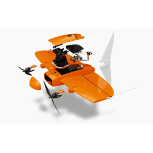
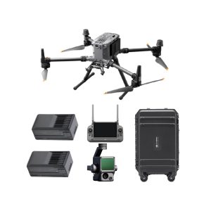
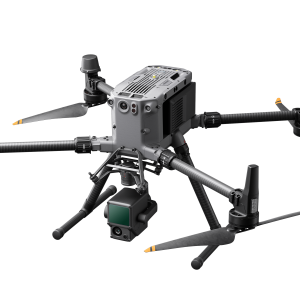
Some of the best surveying and mapping drones of 2024 include DJI Phantom 4 RTK, DJI Mavic 3 Enterprise, DJI Matrice 350 RTK, Autel EVO II Pro RTK V3, Wingtra One Gen II. Trust us to elevate your surveying & mapping experience with efficiency, precision, and innovation.
Best Drone for Mapping
Choosing the best drone for mapping depends on several factors such as the specific requirements of your mapping projects, budget, and desired features. When choosing a drone for mapping, consider factors such as camera quality, flight time, GPS accuracy, compatibility with mapping software, and regulatory requirements in your location. It’s also important to factor in training and support options, especially if you’re new to drone mapping.