No products in the cart.
Back

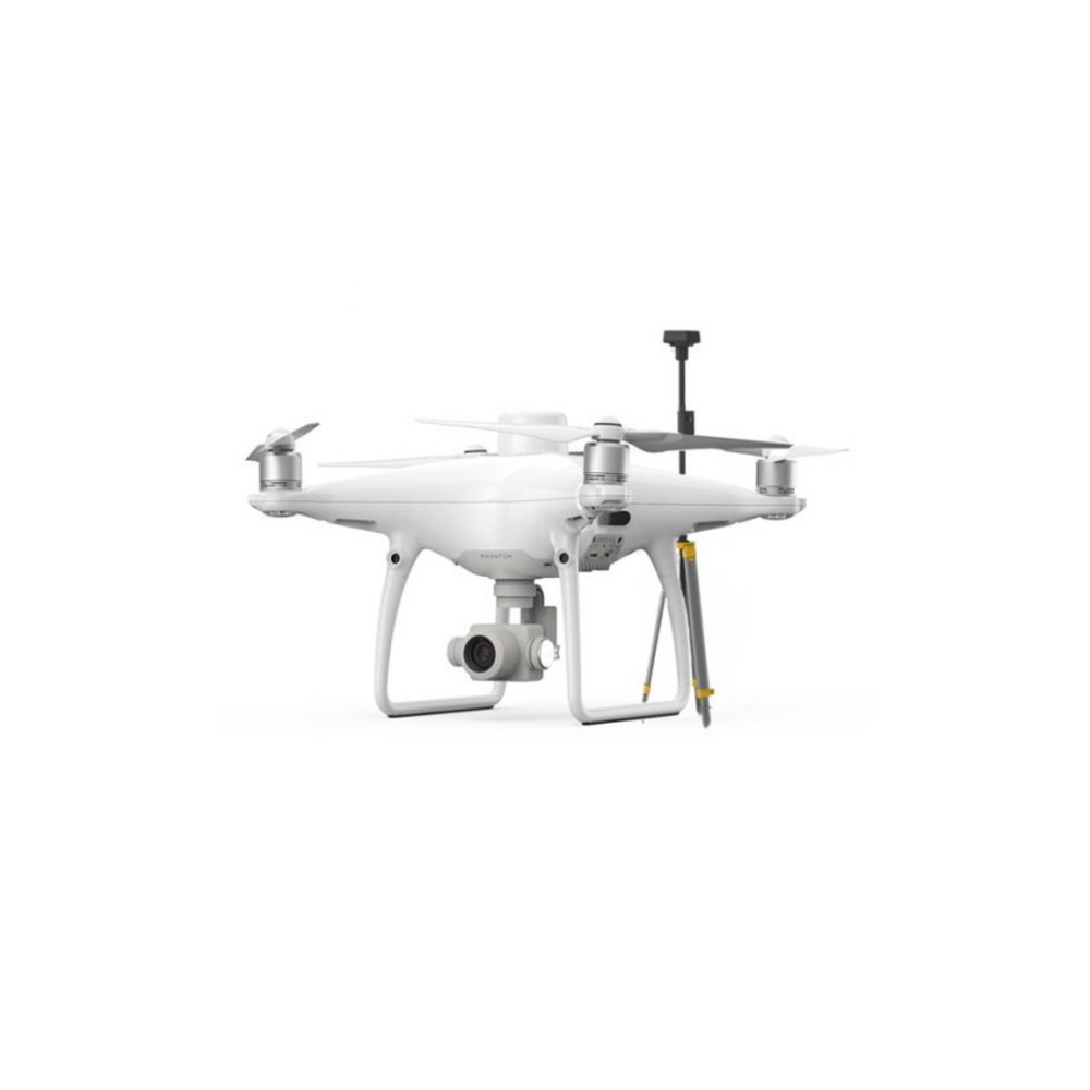
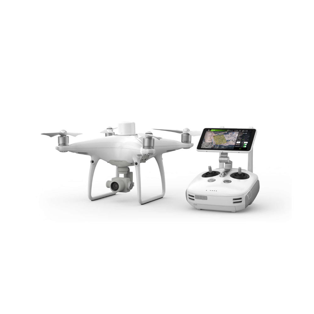
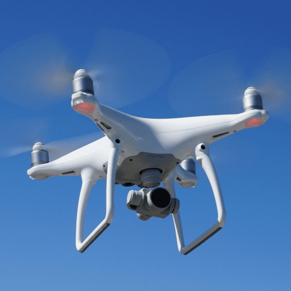
DJI Phantom 4 RTK SE Combo
AED20,700.00 VAT Excl
Out of stock
DJI Phantom 4 RTK SE Combo
AED20,700.00 VAT Excl
Key Features
- RTK module
- 1 Inch CMOS Sensor
- GS RTK App
- TimeSync
- OcuSync
- D-RTK 2 GNSS Mobile Station (sold separately or in combo version)
Contact us for more information
-
Description
Visionary intelligence. High accuracy
Advanced mapping
DJI has rethought its drone-based technology from the ground up, revolutionizing its systems to achieve a new standard of accuracy, allowing, with the Phantom 4 RTK, accurate data to the centimeter while requiring fewer ground control points.
Positioning system at centimetre level
A new RTK module is integrated directly into the DJI Phantom 4 RTK, providing real-time positioning data for improved absolute accuracy on image metadata, establishing itself as one of the best drone for mapping. Located just below the RTK receiver is a redundant GNSS module to maintain flight stability in weak signal regions such as agglomerated cities. By combining both modules, the Phantom 4 RTK can optimize flight safety while ensuring the most accurate data capture for complex detection, mapping and inspection workflows.
Adapts the Phantom 4 RTK to any workflow, with the ability to connect this positioning system to the D-RTK 2 Mobile Station, NTRIP (Network Transport of RTCM via Internet Protocol) using a 4G dongle or WiFi hotspot, or store satellite observation data to be used for Post Processed Kinematics (PPK).
Obtain accurate data through TimeSync
To take full advantage of the positioning modules of the Phantom 4 RTK, the new TimeSync system has been created to continuously align the flight controller, camera and RTK module. In addition, TimeSync ensures that each photo uses the most accurate metadata and fixes the positioning data at the center of the CMOS, optimizing the results of photogrammetric methods and allowing the image to achieve a positioning at the centimeter level.
Precise imaging system
Capture the best images with data through a 1-inch, 20-megapixel CMOS sensor. The mechanical shutter makes mapping missions or regular data acquisition uninterrupted while the Phantom 4 RTK can move while taking photos without the risk of a rolling shutter effect. Thanks to its high resolution, the Phantom 4 RTK can achieve a terrain sampling (GSD) accuracy of 2.74 cm at 100 meters of flight altitude. To ensure that every single Phantom 4 RTK specimen offers unparalleled accuracy, every single camera lens goes through a rigorous calibration process in which radial and tangential lens distortions are measured. The collected distortion parameters are saved in the metadata of each image, letting the post-processing software adjust uniquely for each user.
Specially designed flight planning application
A new GS RTK app allows pilots to intelligently control their Phantom 4 RTK, with two planning modes: Photogrammetry and Waypoint Flight, along with a more traditional flight mode. Planning modes allow pilots to select the drone’s flight path while simultaneously adjusting overlap speed, altitude, speed, camera parameters and more, providing an automated mapping or inspection workflow.
The GS RTK app was created with users in mind and therefore has a range of features created for specific mapping or inspection workflows. The app implemented direct upload of KML area files for office flight planning, a new priority shutter mode to maintain consistent exposure on all photos and a high wind alarm to warn pilots of adverse conditions.
Compatible with Mobile SDK
The Phantom 4 RTK is compatible with DJI Mobile SDK, opening its functions to automation
and customization via a mobile device.
OcuSync transmission system
Enjoy HD images and stable, reliable video transmission over distances of up to 7 km, ideal for mapping larger sites.
* Obstacle-free, interference-free, FCC-compliant. The maximum flight range specification is a test of the strength and resilience of the radio link. Always fly your drone in sight unless otherwise permitted.
Full compatibility with the D-RTK 2 Mobile Station
Support your Phantom 4 RTK missions with the D-RTK 2 Mobile Station, providing real-time differential data to the drone and forming an accurate detection solution. The Mobile Station’s rugged design and OcuSync 2.0 transmission system allow you to get centimetre accurate data with your Phantom 4 RTK under any conditions.
Start mapping today
With an integrated flight planning application (GS RTK) and an easy method to collect RTK data (RTK network or D-RTK 2 Mobile Station), pilots have a complete solution for any immediately available detection, mapping or inspection workflow.
Related products
-
-
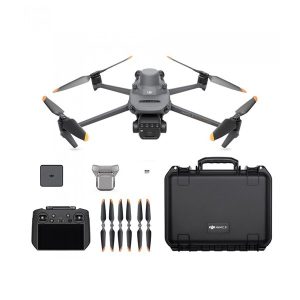
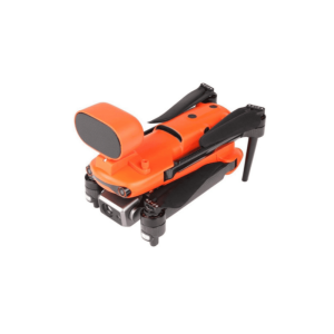
Autel EVO II 640T Rugged Bundle V3
AED20,250.00 VAT Excl -
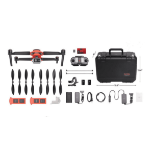
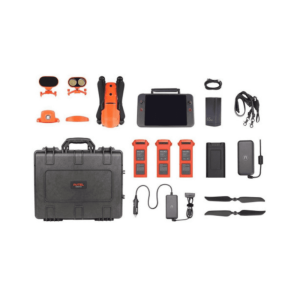
Autel EVO II 640T Enterprise Bundle V3
AED25,750.00 VAT Excl