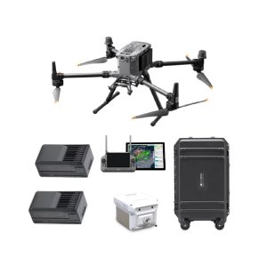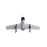
Swan-K1 Mapping II VTOL And Fixed Wing Solution
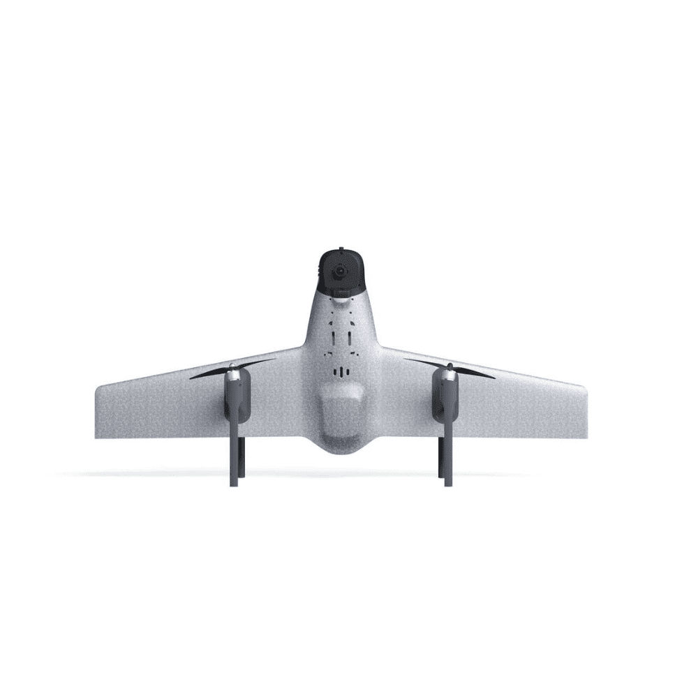
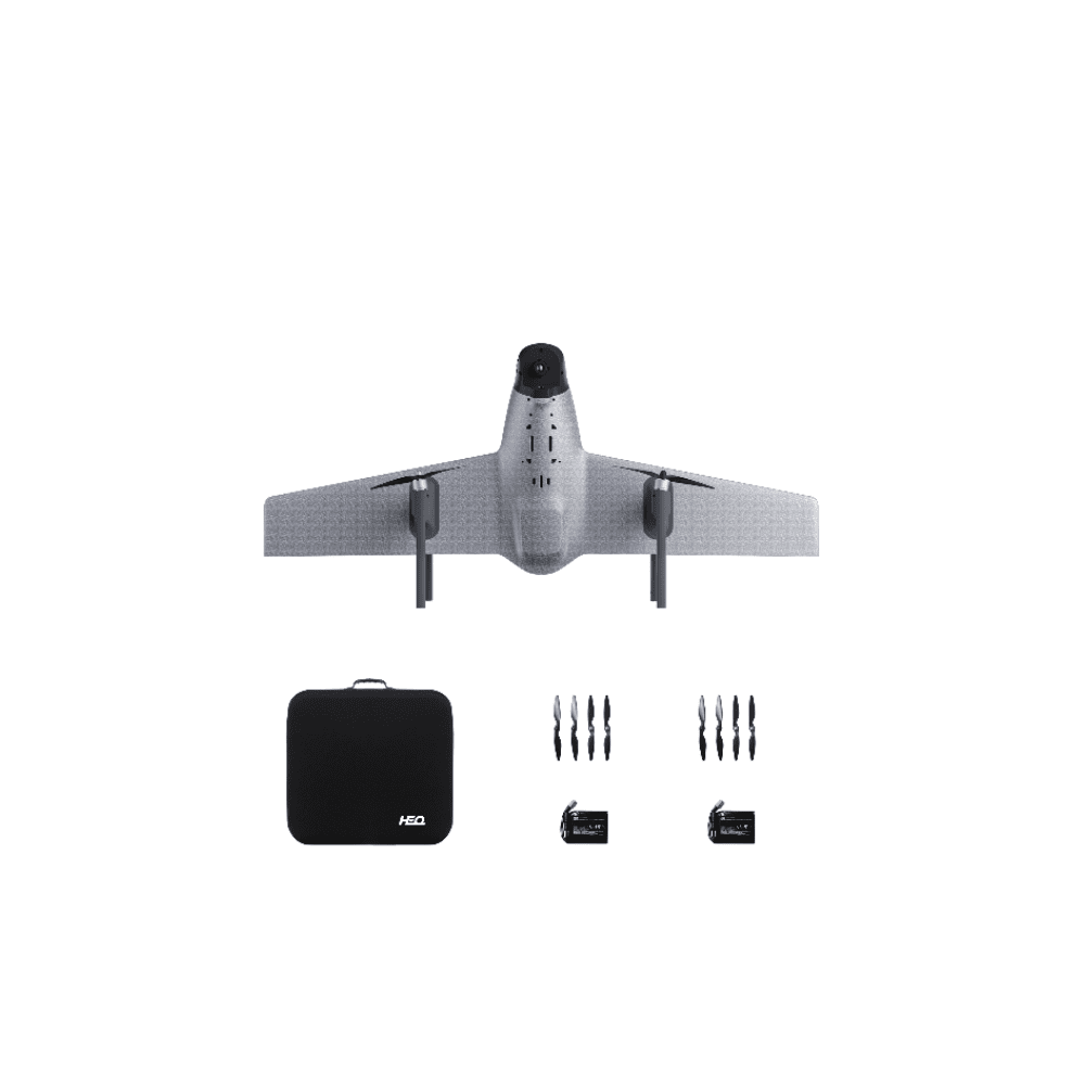
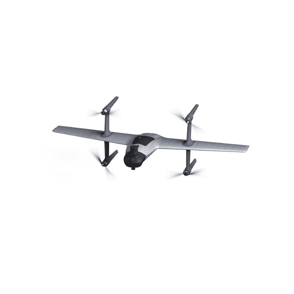
Swan-K1 Mapping II VTOL And Fixed Wing Solution
AED22,105.00 VAT Excl
- Vertical take-off and landing
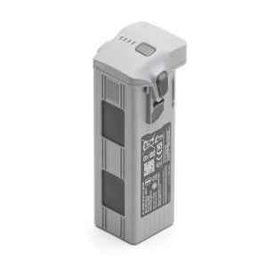
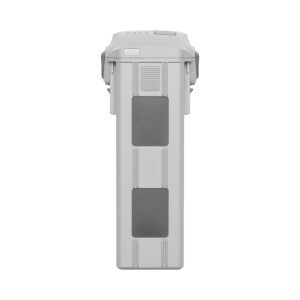
- 60 minutes flight time
- Without rudder control
- Long voyage
- One-click switch
- Intelligent return
-
Description
Best Drone for Mapping
The Swan-K1 mapping is a Small Vtol UAV drone for surveying and mapping fixed-wing UAV that can take off and land vertically as well as switch flight modes with one button. It adopts no rudder surface control technology, which brings users a minimalist control experience . The most important is it could get centimeter-accurate Map without GCPs (ground control points), which truly achieves GCPs-free control measurement. Swan-K1 mapping has the advantages of lightweight, portable, convenient disassembly and installation, single-person operation, long battery life, etc advantages. It can be used in surveying and mapping, measurement, remote inspection, power inspection, urban planning, energy projects, and road construction projects, Mine surveying and other industries.