No products in the cart.
Back

In stock
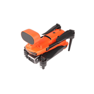
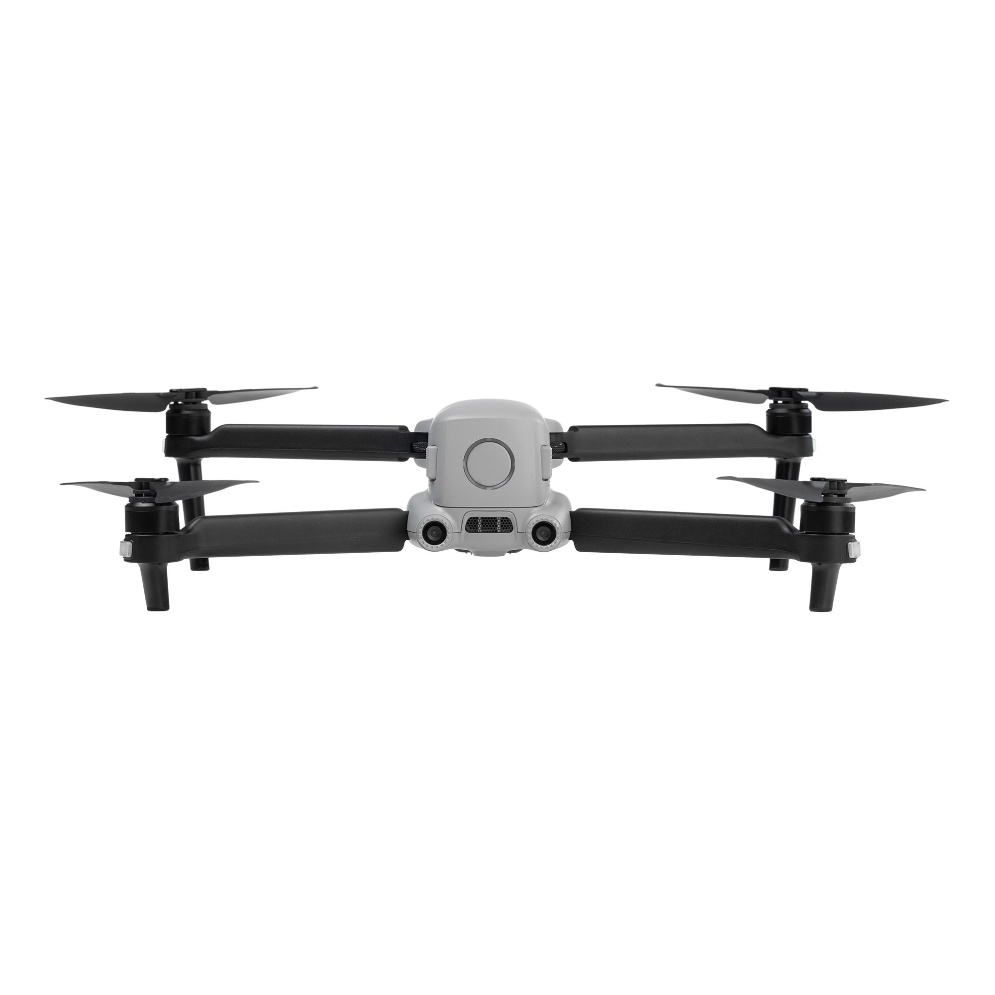
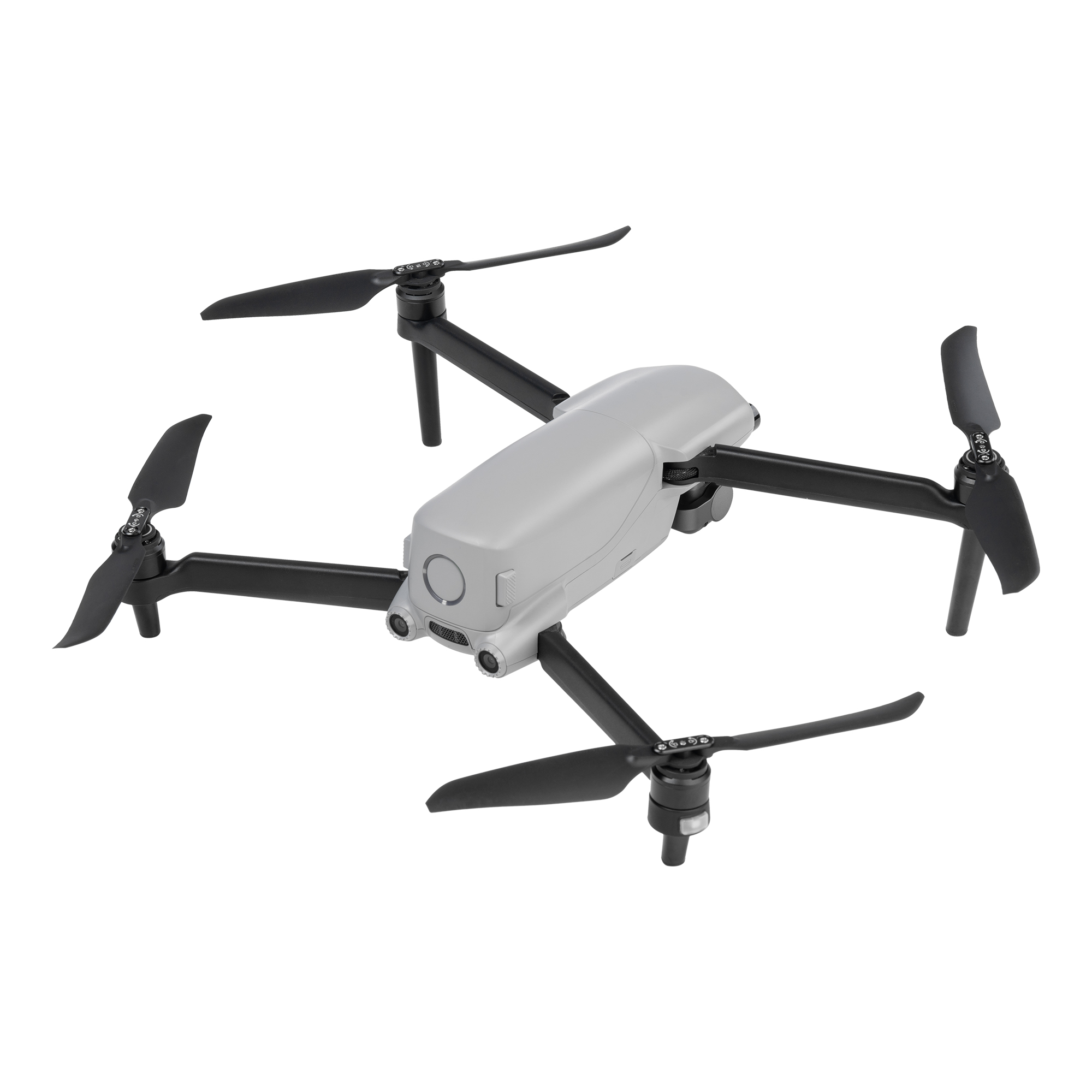
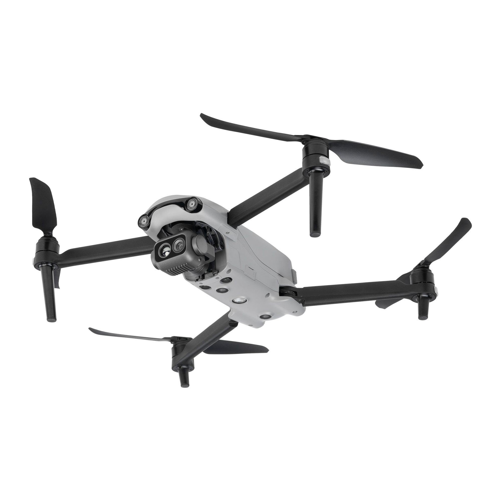
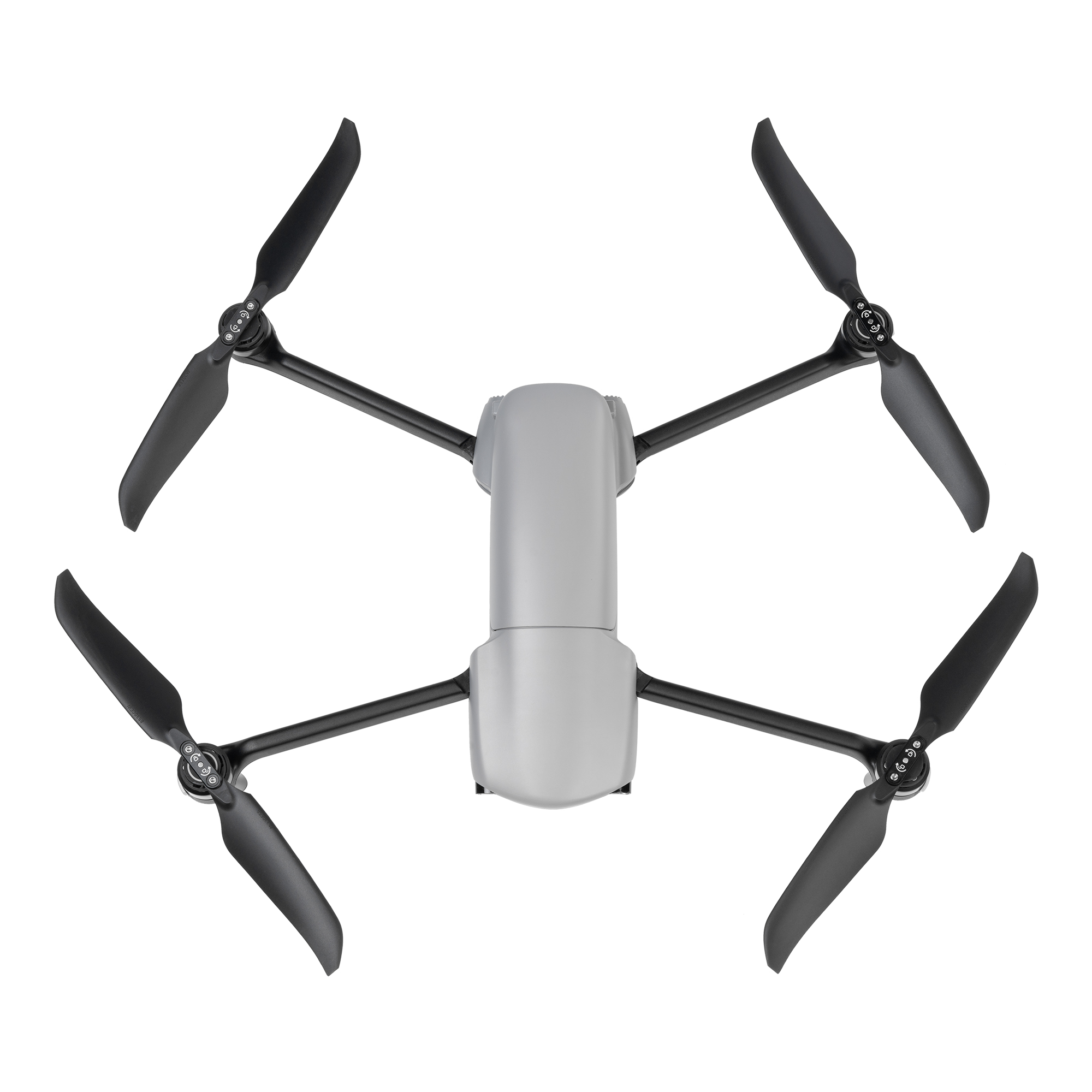
Autel Evo Lite 640T Enterprise
AED12,335.00 VAT Excl
- Lightweight & Portable
- Simple Control
- AI Target Recognition & Positioning
- 12km Video Transmission Range
- 640*512 Infrared Thermal Imaging
- Three-Way Binocular Vision Obstacle Avoidance
- 40-Minute Flight Endurance
- Description
EVO Lite Enterprise Series, by Autel Robotics, is characterized by its lightweight and compact design, making it remarkably portable. The A-Mesh networking capability supports collaborative dual-drone dual-control operations. Equipped with high-precision visual navigation capabilities, it supports stable flight even in environments with poor signal through SLAM technology. The EVO Lite 640T Enterprise Edition features a dual gimbal system, with a visible light camera providing clear and detailed images, while the thermal imaging camera aids in decision-making during operations. The EVO Lite 6K Enterprise Edition is equipped with a 1-inch CMOS visible light camera, offering outstanding sensitivity for excellent image quality. With the intelligent features of the professional flight app, it enables flexible single-person deployment and efficient application in scenarios such as public safety and emergency rescue.
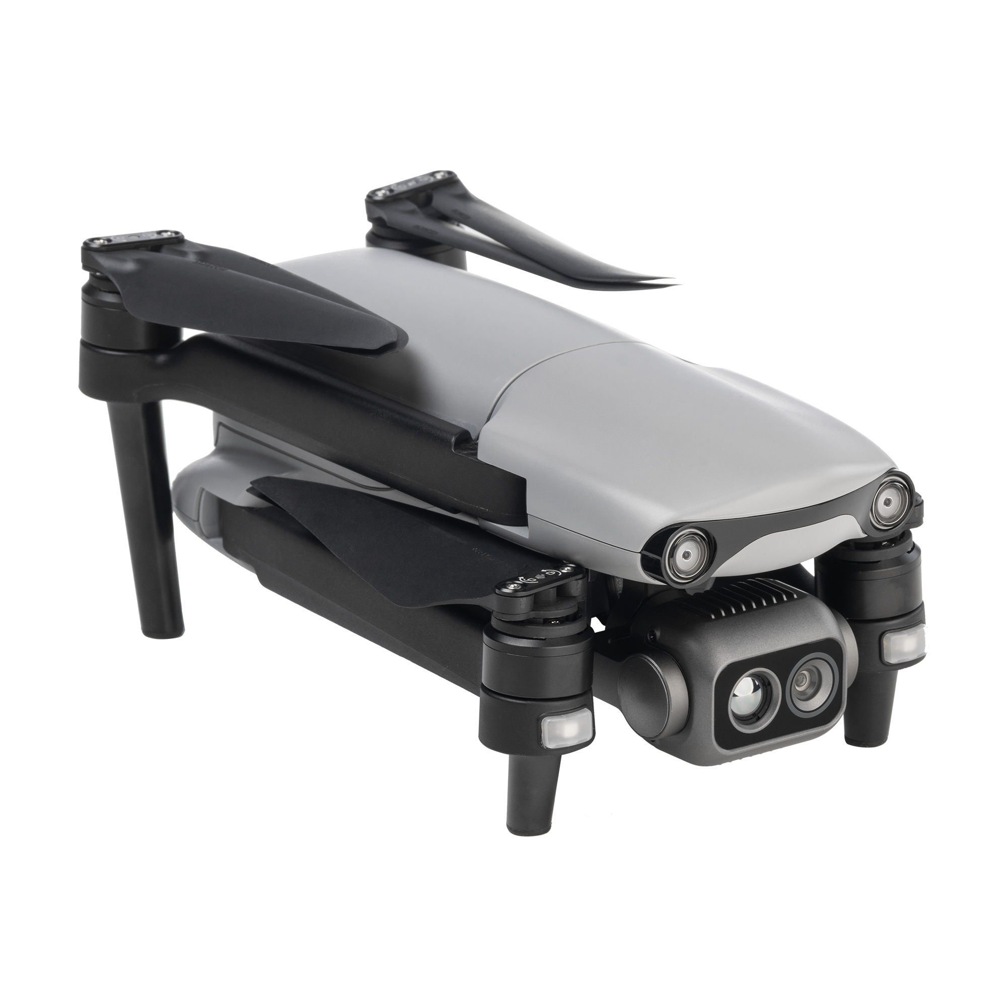
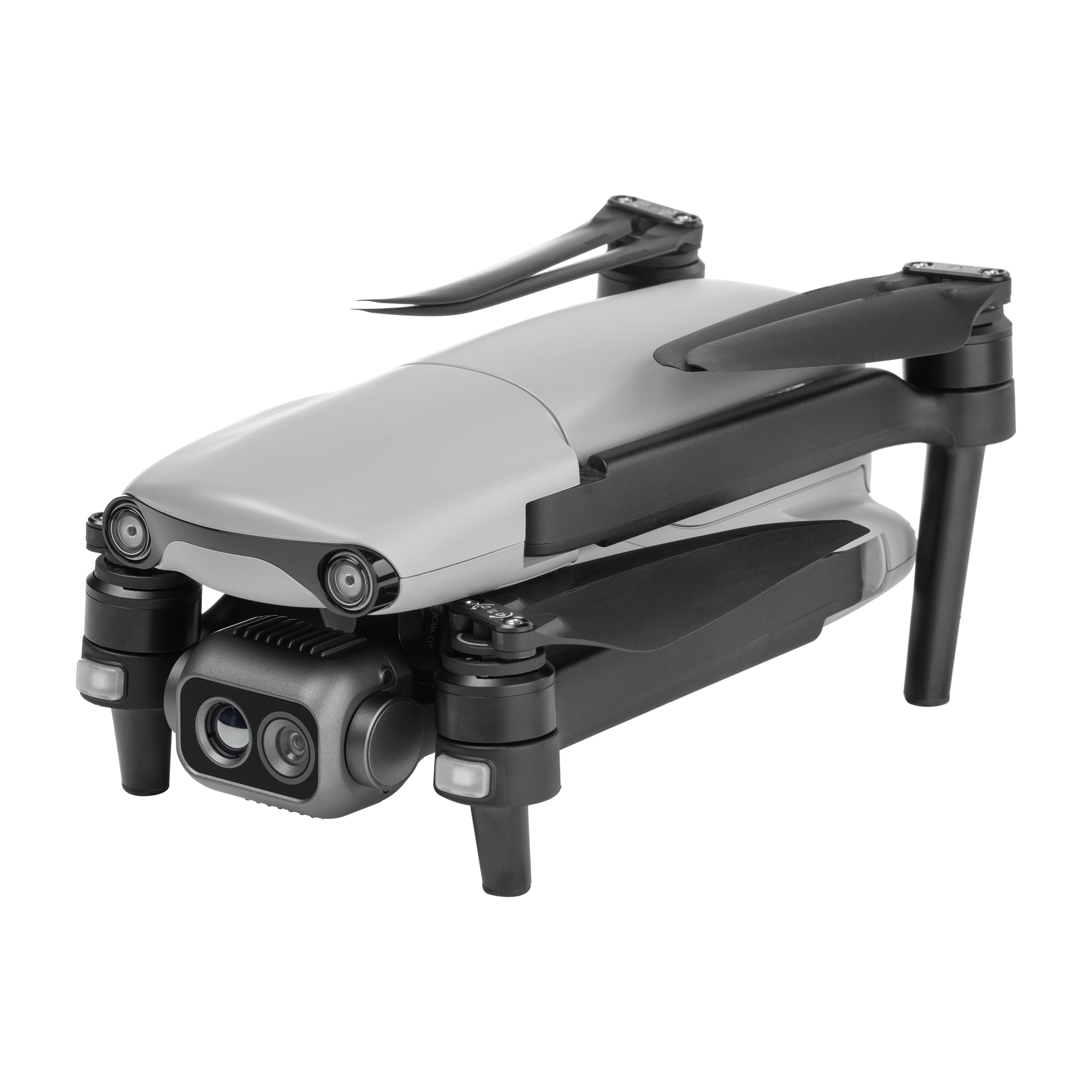
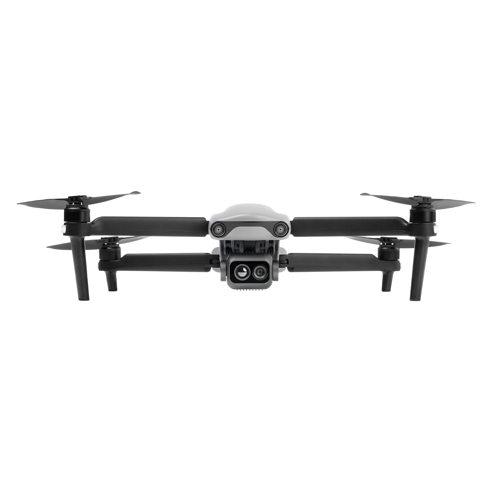
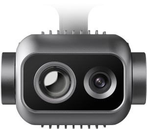
EVO Lite 640T Enterprise
Equipped with a dual gimbal, the wide-angle visible-light camera offers a broad field of view with vivid high-definition images, while the infrared thermal-imaging camera integrates high-resolution thermal-imaging algorithms, providing clear and detailed thermal source identification
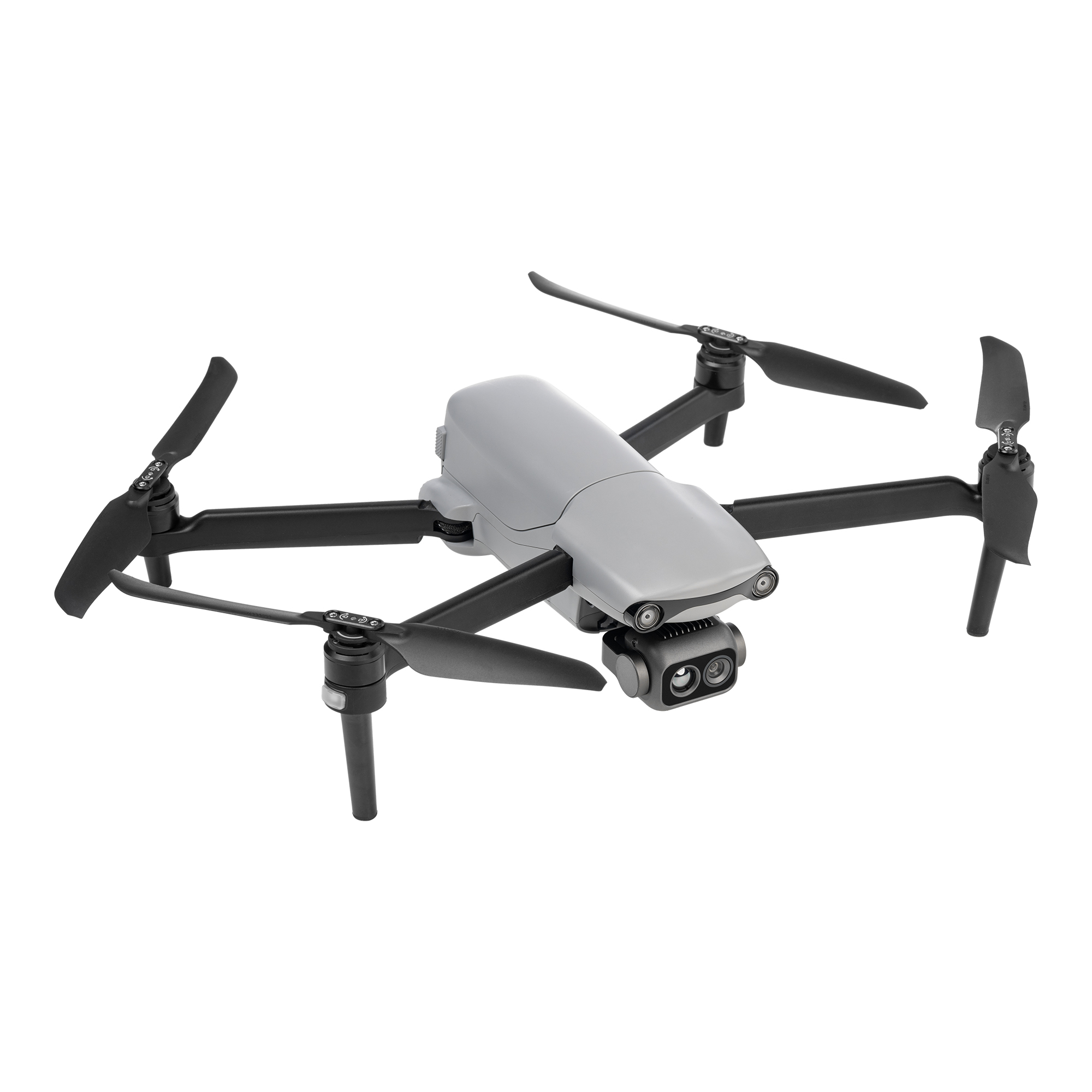
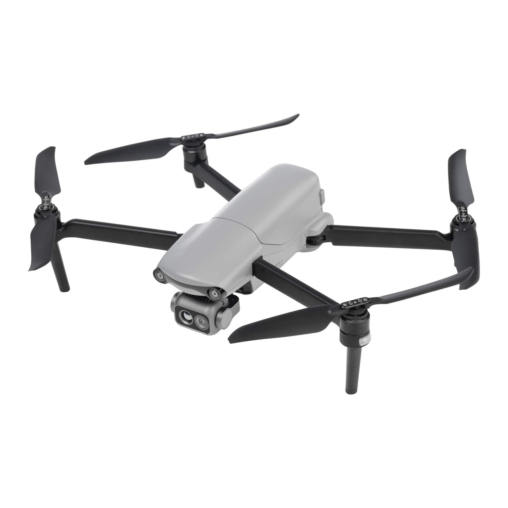
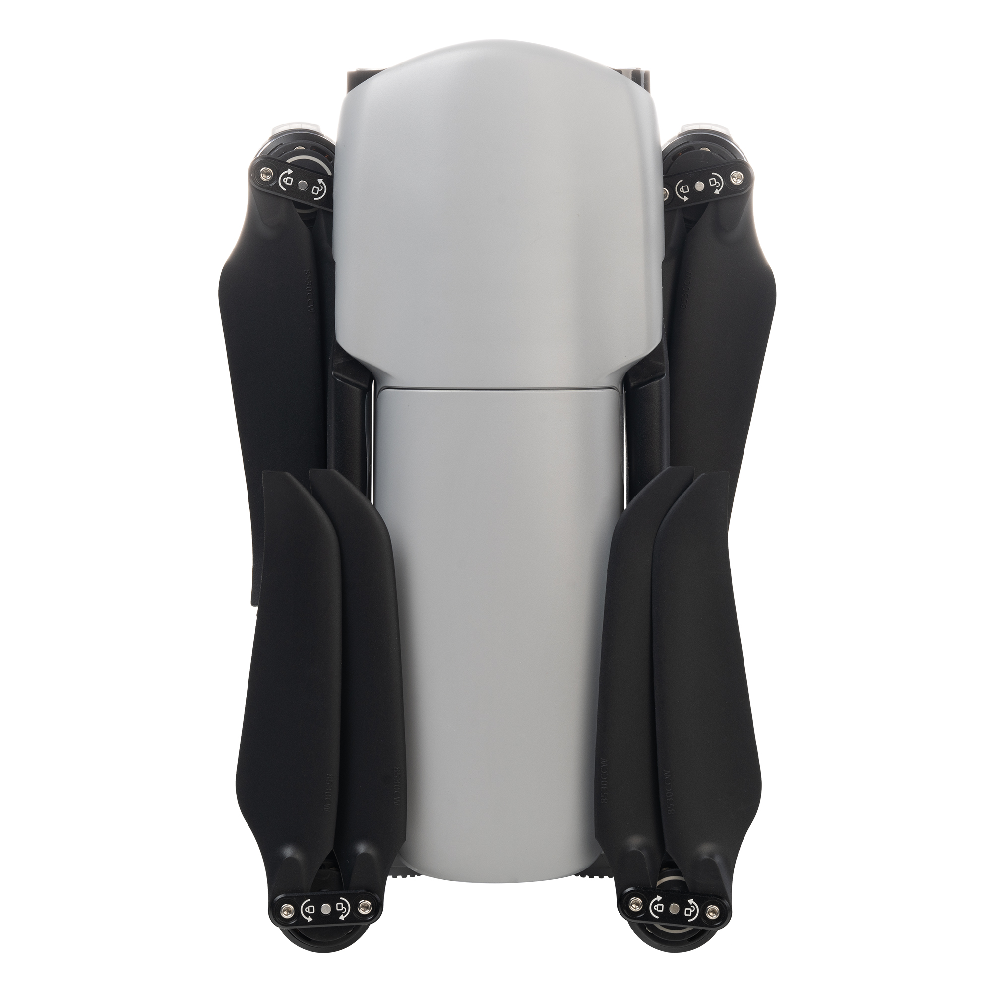
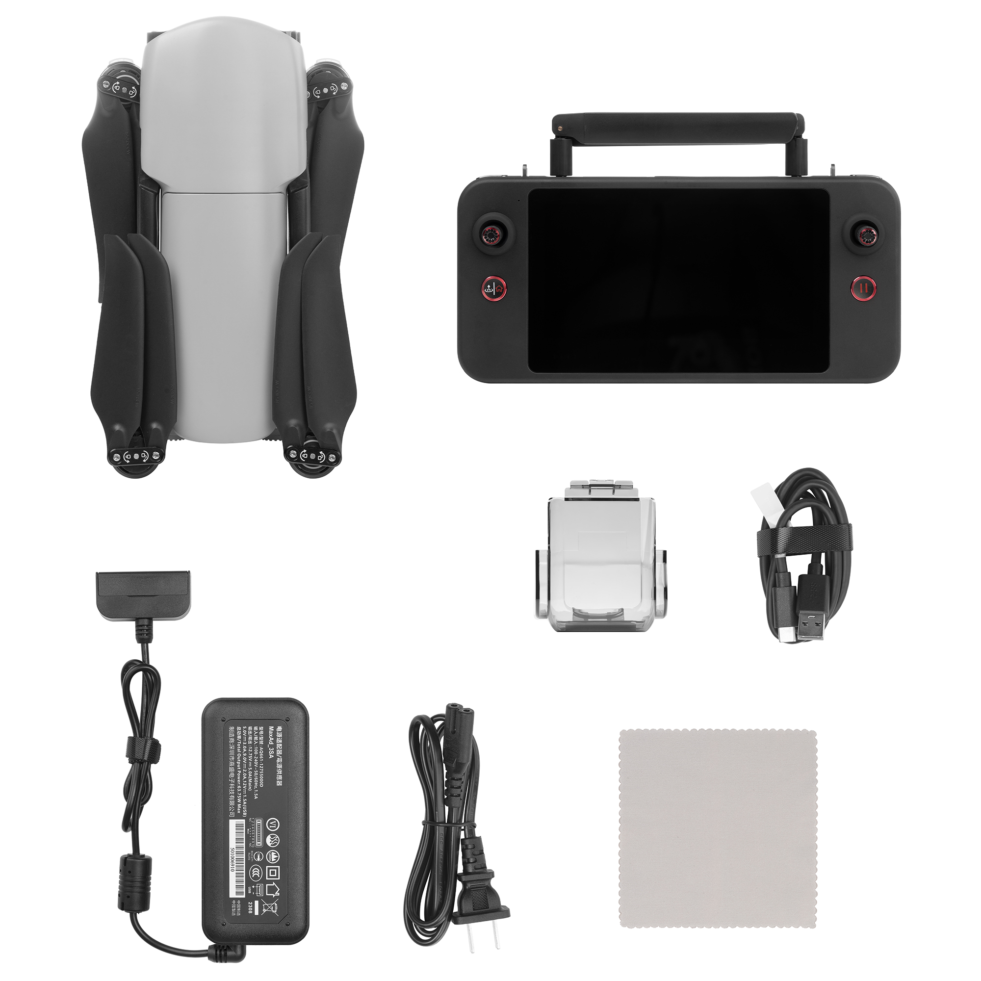
Lightweight and Portable
The EVO Lite Enterprise Series drones weigh only 866 grams and have folded dimensions of just 210*123*95mm, making them easy to carry in a backpack. With a simple operation, and a 40-minute endurance capability, they are ideal for efficient execution of missions by a single operator.
High-Definition Video Transmission
Equipped with Autel SkyLink image transmission technology for a dual-signal, dual-reception system, the image transmission anti-interference capability improved, and the transmission distance reaches up to 12 kilometers. It supports 2.4GHz/5.2GHz/5.8GHz adaptive frequency hopping transmission, automatically selecting the best channel based on electromagnetic interference, providing strong anti-interference capability.
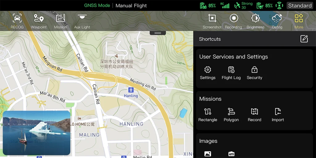
Customizable Toolbar
Customize the menu toolbar in the app for quick access to frequently used functions, meeting personalized usage needs.
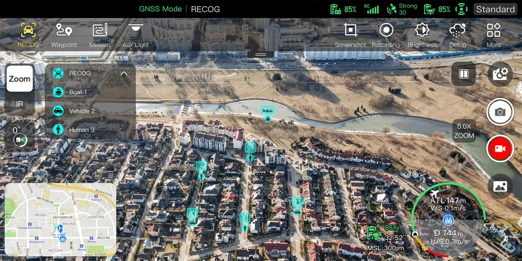
AI Target Recognition & Positioning
Utilizing wide-angle or infrared lenses combined with intelligent AI algorithms and a self-learning system, the aircraft can automatically recognize
and locate up to 64 different objects, including people, cars, and boats, projecting their positions on the map.
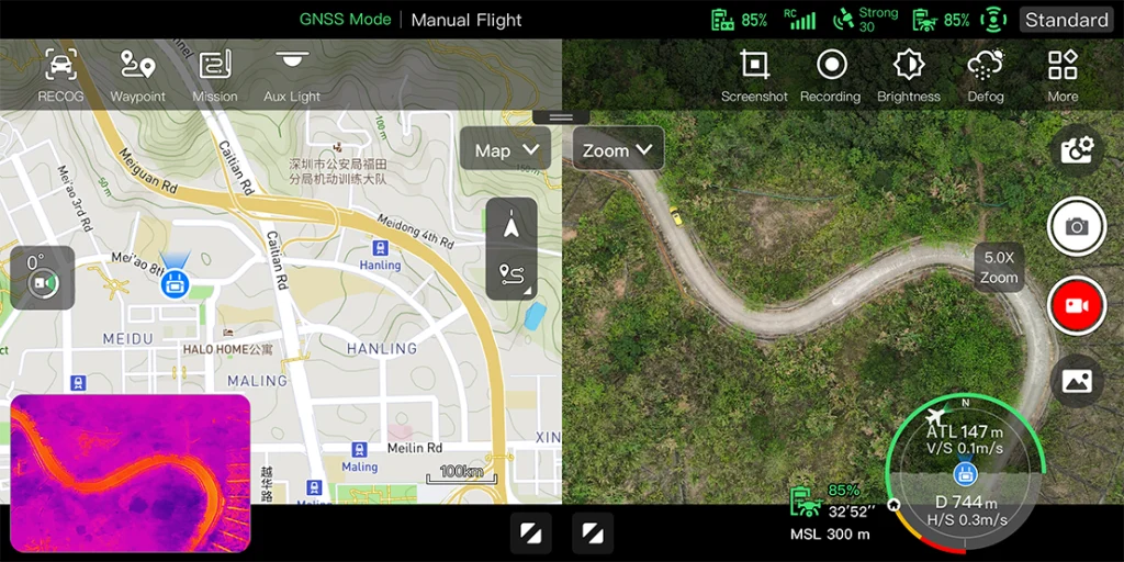
Split-Screen Display
Visible light, infrared, or map support dual-channel simultaneous output on the screen, providing comprehensive information through comparison.
MSDK
The open Mobile SDK provides efficient, versatile, and easy-to-use control and service interfaces, enhancing development efficiency and enabling the creation of custom solution scenarios.
Technical Specifications
| Weight (including battery, gimbal camera | 866g |
| Dimensions | 433*516*95mm(unfolded with propellers); 210*123*95mm(folded without propellers) |
| Max Flight Time | 40min |
| Flight Speed | 18m/s |
| Max Wind Resistance Leve | Fresh breeze |
| Operating Frequency | 2.4GHz / 5.2GHz / 5.8GHz |
| Max Transmission Distance | 12km |
| GNSS | GPS / BDS / GLONASS |
| Visible Light Camera | 1/2 inch CMOS 48 million pixels F2.8 aperture 16x digital zoom Maximum photo size of 8000*6000 Maximum video resolution of 4K 30P |
| Thermal Imaging Camera | 640*512 resolution 9.1 mm focal length 16x digital zoom Temperature measurement range: -20°C to 150°C / 0°C to 550°C Temperature accuracy: ±3°C or ±3% of reading (whichever is greater) |
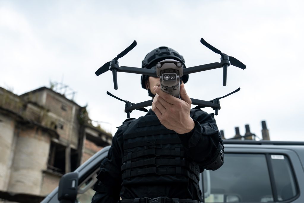
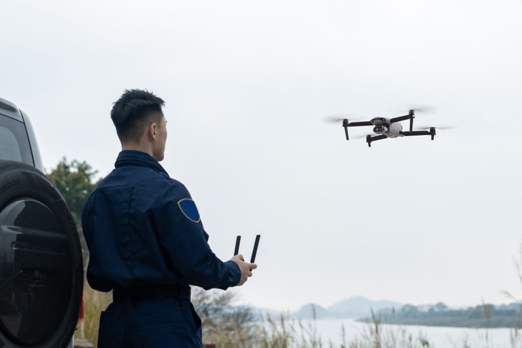
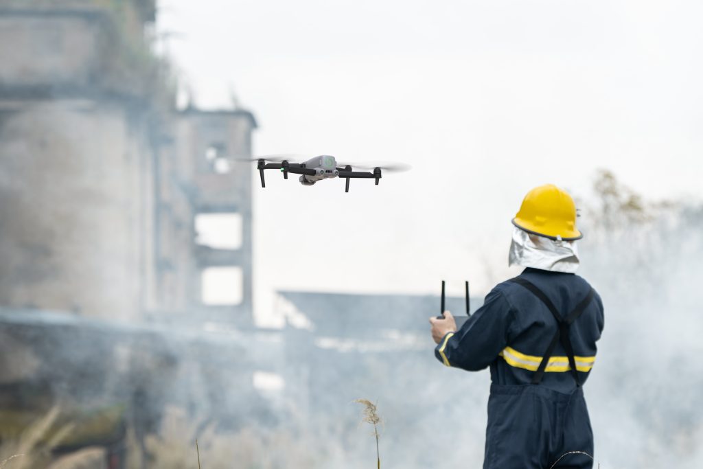
Applications
Law Enforcement
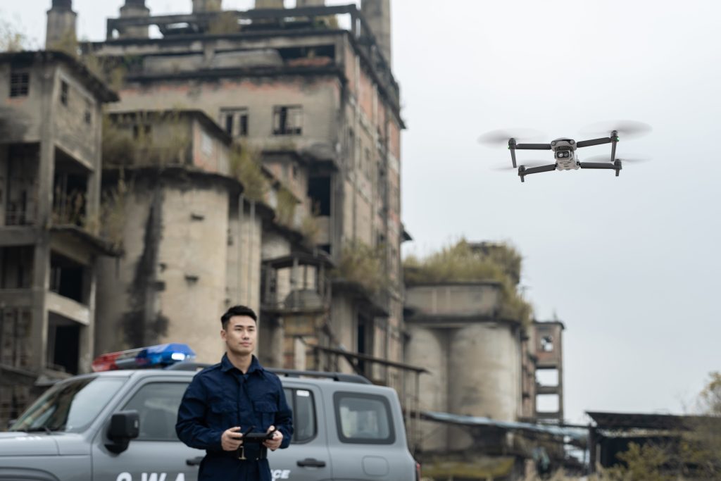
Security Patrol
Emergency Rescue
Related products
-
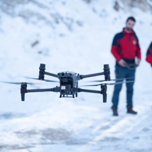
DJI Matrice 350 RTK
AED23,200.00 VAT Excl -
Autel EVO II 640T Enterprise Bundle V3
AED25,750.00 VAT Excl