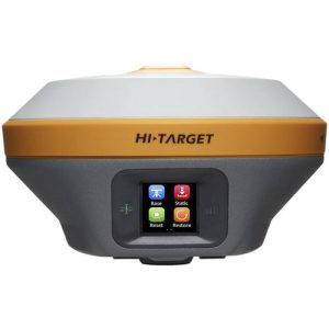
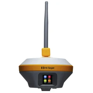
Hi-Target vRTK GNSS RTK System
Hi-Target vRTK GNSS RTK System
AED19,400.00 VAT Excl
vRTK Rover with iHand55 controller with Pole (compatible with PPP)
- Image Positioning Technology
- Brand-new Stakeout Experience
- Strong Signal & High-Quality Data
- Abundant Industry Data Results
-
Description
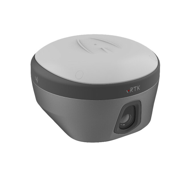
vRTK GNSS RTK System
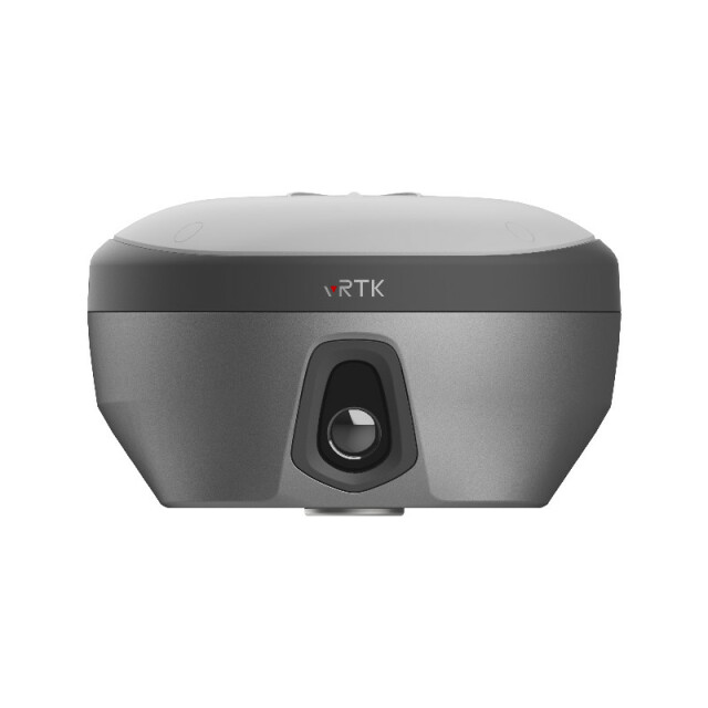
Equipped with professional dual cameras, vRTK is Hi-Target’s first lightweight and innovative visual RTK receiver product, which not only enables non-contact image surveying, breaking through the objective constraints of previous work, but also improves the speed of stakeout with the function of Live View Stakeout. It greatly improves the work efficiency of engineering users.
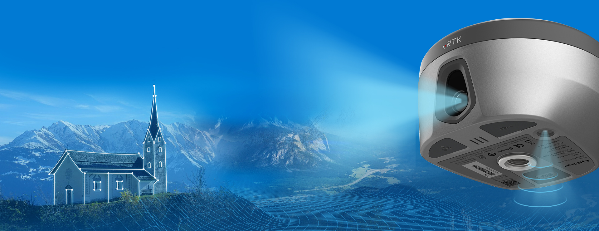
Dual Cameras for Image Survey and Live View Stakeout
Non-contact measurement greatly improves the usable range of GNSS and efficient safe operation. | 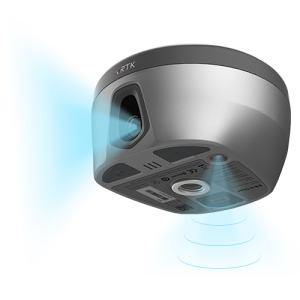 |
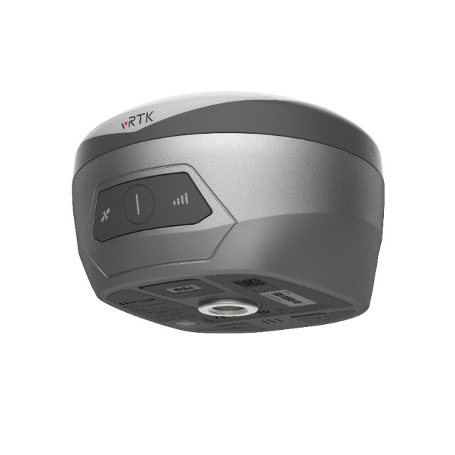
Strong Signal and High-quality Data
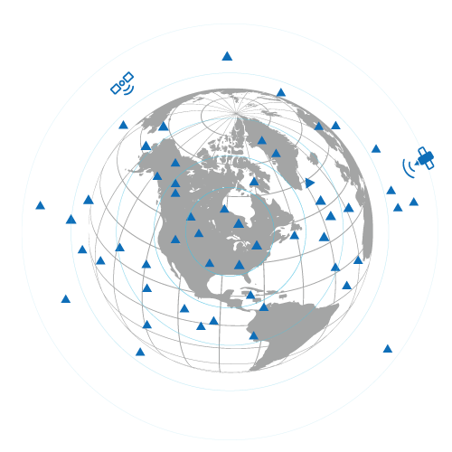 | -New generation GNSS SOC chip with 1408 channels, supports new frequency points B1C, B2a, and B2b RTK decoding for Beidou-3 Satellites. -Introduction of multi-frequency anti-jamming technology and multi-step adaptive filtering technology to ensure strong signals, high-quality data, fast fix, and high accuracy. |
Abundant Industry Data Results
-Abundant types of data results meet the needs of different industry applications. -Compatible with the mainstream modelling software to attain point cloud and 3D modelling in one step. | 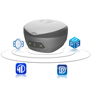 |
iHand55 Controller
The iHand55 Handheld Controller is a professional field controller with a big vision. Adopting a full-keyboard design, iHand55 supports the fast charge. The updated screen is readable in direct sunlight. More features of the latest Hi-Survey Road Software contribute to achieving high intelligence. Keeping robust and reliable in fieldwork under any conditions, iHand55 is a perfect choice for your survey work.
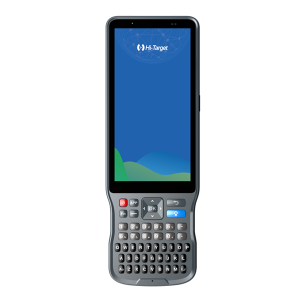 | - 5.5”sunlight readable display capacitive touch screen for fingers or stylus. -QWERTY full keyboard designed, convenient for different measurement application scenarios. -Quick charge with internal lithium battery to improve efficiency under long time job. - Android 11.0 operating system equipped to maintain the productivity of numerous survey projects and data. |
Product Parameters
- 8mm+0.7mm/° Tilt Survey Accuracy
- BDS/GPS/GLONASS/GALILEO/QZSS/IRNSS/SBAS Satellite Tracking
- 2cm to 4cm Image Survey Accuracy
- 1408 Channels
- 2cm Image Stakeout Accuracy
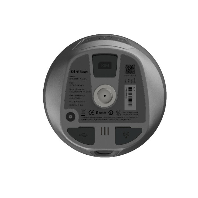
- Built-in 8GB ROM Data Storage
Related products
-
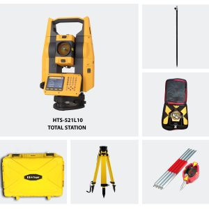
Hi-Target HTS 521L10 Optical Total Station (Full Set)
AED11,600.00 VAT Excl -
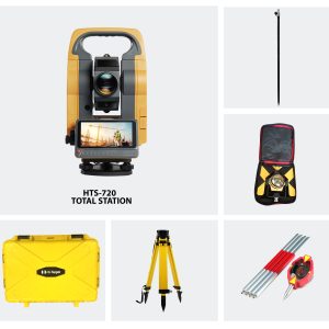
Hi-Target HTS-720 Android Total Station (Full Set)
AED13,400.00 VAT Excl -
Hi-Target iRTK5 GNSS RTK System
AED11,500.00 VAT Excl