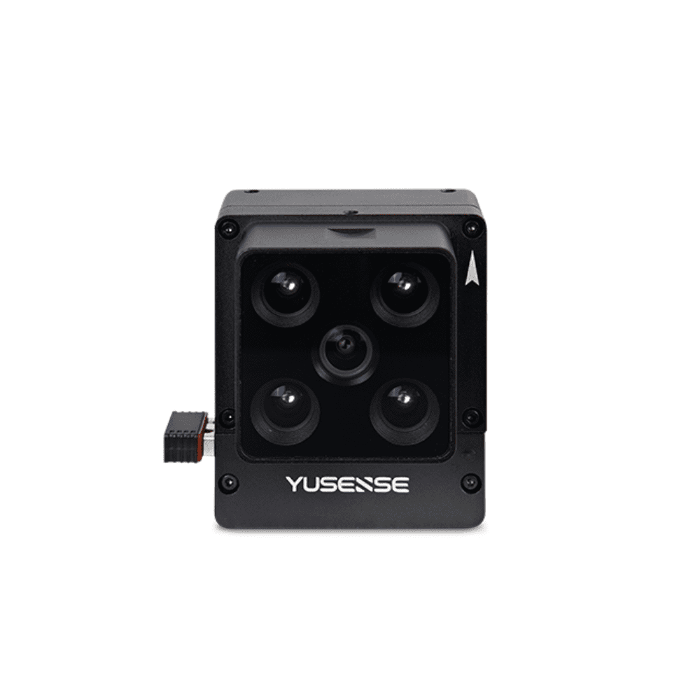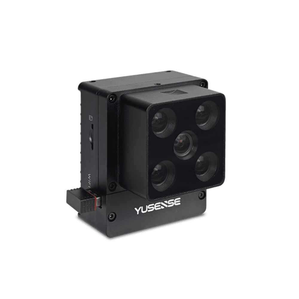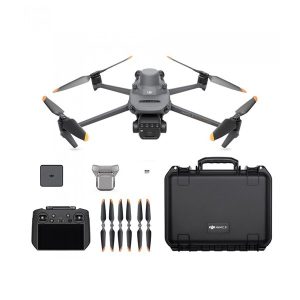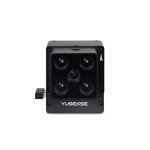
Yusense 4-BAND AGRICULTURAL VERSION MULTISPECTRAL MS400 (RGB&4 band spectrum, one machine with multiple functions)
Yusense 4-BAND AGRICULTURAL VERSION MULTISPECTRAL MS400 (RGB&4 band spectrum, one machine with multiple functions)
Product features
- 4 Multispectral & 1 RGB
- 1.3 million & 8 million pixels12bit global & 8bit rolling shutter
- Gigabit Ethernet port/TTL serial port
- Standard downlink light sensor (DLS)
- 170g aluminum alloy lightweight body
- 7W@12V power supply, 64G TF card
- Convenient setting of WEB interface parameters under WIFI connection
- Multiple trigger modes of external, timing and overlap rate
- Compatible with various small UAV platforms
-
Description
Four 1.3M pixel multi-spectral channels, one 8.0M pixel RGB, optical grade glass window, large aperture, low distortion, broadband transmission, all glass lens, high cost performance, meet the application requirements in the field of agricultural remote sensing.
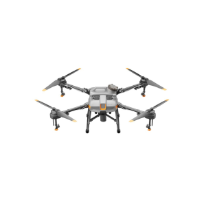
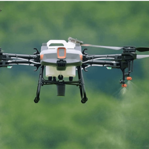
Carrying platform: Micro UAV
Technical Parameters
Indicator name |
MS400 indicator parameters |
| Configuration method | 4 multispectral channels + 1 RGB channel |
| Target size | Multispectral & RGB: 1/4″ |
| Effective Pixels | Multispectral: 1.3Mpx; RGB: 8.0Mpx |
| shutter type | Multispectral: Global; RGB: Rolling |
| quantization bits | Multispectral: 12bit; RGB: 8bit |
| field of view | Multispectral: 36.7°×31.3°; RGB: 37.5°×28.6° |
| ground resolution | Multispectral: 6.23cm@h120m; RGB: 2.49cm@h120m |
| coverage width | Multispectral: 80m×67m@h120m; RGB: 82m×61m@h120m |
| Spectrum channel[1] | 555nm@27nm, 660nm@22nm, 720nm@10nm, 840nm@30nm, RGB |
| optical window | Optical Grade Glass Windows |
| Host size | ≤55mm×65mm×50mm |
| Host weight | 170±5g |
| installation interface | 7×M3 |
| powered by | Typical 12V DC |
| power consumption | ≤7w@12V |
| Image Format | Multispectral: 16bit original TIFF & 8bit reflectance JPEG; RGB: 8bit JPEG |
| video format | — |
| storage medium | Standard configuration and maximum support 64G capacity (transmission speed U3 and above rating) micro SD card |
| processing software | Yusense Map/Yusense Map Plus |
| parameter settings | WIFI (WEB interface access)/Ethernet/UART |
| shooting trigger | External trigger, timing trigger, overlap rate trigger, cascade trigger |
| shooting frequency | 1Hz (related to the actual read and write speed of the storage medium) |
| Working temperature | -10°C~+50°C (relative wind speed ≥1m/s) |
| storage ambient temperature | -30℃~+70℃ |
| environment humidity | RH(%)≤85%(non-condensing) |
| certified product | CE, FCC, RoHS |
Remarks: [1] The wavelength is standard, and the following 18 wavelengths are allowed to be customized (please consult Yuchen marketing personnel for details on the combination method and cost): 410nm@35nm, 450nm@30nm, 490nm@25nm, 530nm@27nm, 555nm@27nm , 570nm@32nm, 610nm@30nm, 650nm@27nm, 660nm@22nm, 680nm@25nm, 720nm@10nm, 720nm@15nm (Qualcomm), 750nm@10nm, 780nm@13nm, 800nm@35nm, 840nm@30nm, 900nm@ 35nm, 940nm@35nm (tolerance ±5nm). Shooting frequency: test results using storage media with a new transmission speed of U3 and above (sketch speed ≥ 60MB/s).
typical application
Growth assessment
Use vegetation factors such as NDVI and LAI to quantitatively describe the consistency of vegetation canopy states at different spatial scales, assist the characteristic spectra of vegetation in different health states, quantitatively evaluate the growth of vegetation, and provide data for irrigation, fertilization, plant protection, and yield assessment. support.
Germination rate assessment
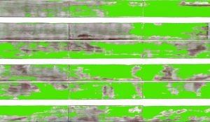
Based on the spectral differences between crops and weeds, soil and other environments, the precise identification and plant segmentation of crop seedlings can be completed, the area of crop plants in a unit area can be quantitatively evaluated, and the regional emergence rate can be calculated to provide data support for scientific research and breeding, farming seedling supplementation, etc.
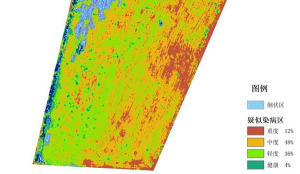
Pest Assessment
According to the characteristic spectrum of pests and diseases and crop growth, quantitatively judge the severity of pests and diseases and the spatial distribution of crop health status, and provide data support for disaster assessment, crop yield estimation, agriculture, forestry and plant protection, etc.
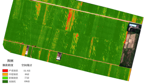
Lodging assessment
According to the differences in the canopy spectrum and leaf texture of vegetation, a crop lodging assessment model is constructed, combined with the statistical data of ground sampling points, to quantitatively describe the degree of crop lodging and the spatial distribution of different lodging degrees, and provide data support for disaster assessment and lodging assessment


