
What if a single underwater mission could capture detailed habitat imagery, collect water quality data, and provide real-time insights without putting divers at risk? As climate change, pollution, and habitat degradation continue to threaten aquatic ecosystems, environmental professionals need faster, safer, and more reliable ways to monitor underwater environments. Traditional methods often depend on manual sampling and diver inspections, making surveys time consuming, costly, and difficult to repeat consistently.
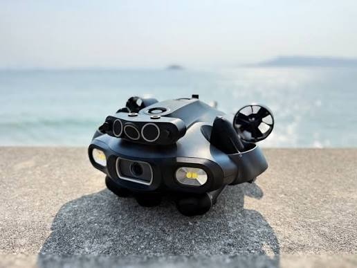
The QYSEA FIFISH V6 Expert addresses these challenges by combining high-resolution underwater imaging, precise maneuverability, and support for specialized environmental sampling tools in one remotely operated platform. From mapping underwater habitats to assisting with water quality assessments and real-time environmental monitoring, it helps researchers and field teams collect dependable data with greater efficiency and confidence.
Every successful environmental assessment begins with a clear understanding of what lies beneath the surface.
PRODUCT REVIEW: QYSEA FIFISH V6 Expert Underwater Drone
Mapping Underwater Ecosystems with High-Resolution Imaging
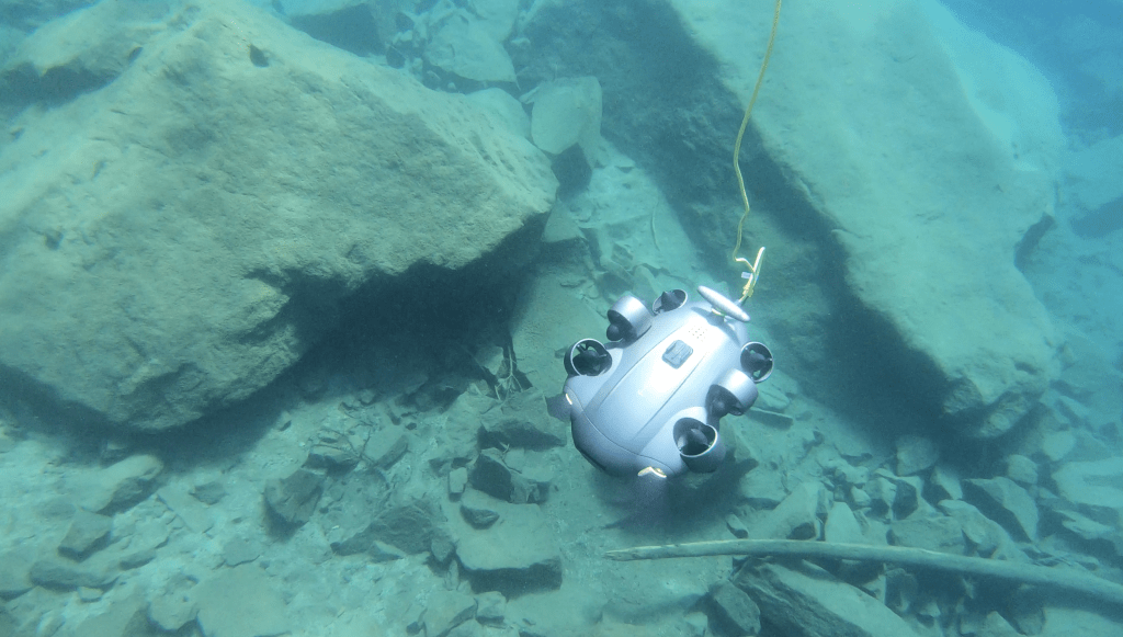
Accurate habitat mapping is the foundation of effective environmental monitoring. Whether surveying coral reefs, seagrass meadows, riverbeds, or freshwater vegetation, environmental teams rely on detailed visual records to assess ecosystem health, detect changes, and support restoration efforts. Consistent imagery also strengthens biodiversity studies, environmental impact assessments, and long-term conservation programs.
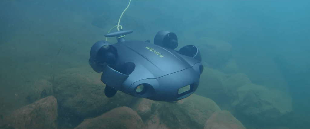
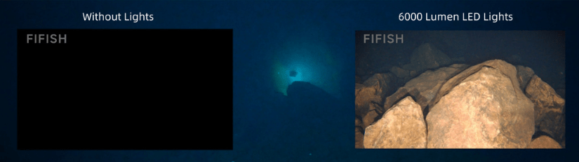
The FIFISH V6 Expert captures detailed underwater imagery using a 4K UHD camera, 12 MP image sensor, and a 166° ultra-wide field of view. Dual 6,000-lumen LED lights enhance visibility in low-light conditions, while Electronic Image Stabilization (EIS) produces smooth, clear footage. Its six-thruster omnidirectional propulsion system, combined with Depth Lock and Posture Lock, enables stable positioning for repeatable image capture from multiple angles.
High-quality visual documentation provides a reliable baseline for monitoring environmental change. When paired with water quality measurements, these observations deliver a more comprehensive understanding of aquatic ecosystem health.
Supporting Water Quality Monitoring and Environmental Sampling
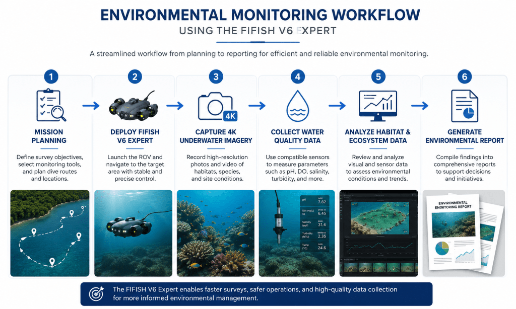
Water quality monitoring goes beyond laboratory analysis. To understand the health of an aquatic ecosystem, environmental teams need both measurable data and visual context. Combining sensor readings with underwater observations helps identify pollution sources, assess habitat conditions, and support conservation, compliance, and resource management efforts.
The FIFISH V6 Expert supports these missions through its Q-IF Multi-Tool Extension Interface, which accommodates specialized environmental tools, including a water sampler, dissolved oxygen sensor, pH sensor, turbidity sensor, salinity sensor, and mud sampler. During a single deployment, operators can collect water and sediment samples while recording high-resolution imagery and live video of surrounding conditions. This combination allows researchers to correlate environmental measurements with visible habitat features for a more complete assessment.
Collecting multiple datasets in one mission improves efficiency, but documenting exactly where that information was gathered is equally important for tracking environmental changes over time.
Environmental Monitoring Data Collected During a Single Survey
| Environmental Monitoring Activity | Data Collected | FIFISH V6 Expert Technology Utilized |
| Underwater Habitat Mapping | 4K imagery and video of reefs, vegetation, and riverbeds | 4K UHD Camera, 12 MP Sensor, 166° Ultra-Wide FOV, Electronic Image Stabilization |
| Water Quality Assessment | Dissolved oxygen, pH, salinity, turbidity measurements | Q-IF Multi-Tool Extension Interface with Environmental Sensors |
| Water & Sediment Sampling | Water samples and bottom sediment samples | Water Sampler, Mud Sampler |
| Visual Environmental Inspection | Live observation of aquatic habitats, pollution, erosion, and infrastructure | HD Live Video Transmission, Dual 6,000-lumen LED Lights |
| Site Documentation | High-resolution photos and recorded inspection footage | 4K Video Recording, Still Image Capture |
| Repeatable Environmental Surveys | Consistent inspection records from the same locations | Six-Thruster Omnidirectional Mobility, Depth Lock, Posture Lock, IMU Sensors |
Repeatable Survey Locations for Long-Term Environmental Studies
Environmental monitoring is most effective when changes can be measured over time. Whether evaluating coral reef recovery, tracking shoreline erosion, monitoring sediment movement, or assessing wetland restoration, researchers need consistent data from the same locations to identify meaningful environmental trends.
The FIFISH V6 Expert supports repeatable surveys with onboard sensors, including a depth sensor, gyroscope, accelerometer, and magnetometer, working alongside its six-thruster omnidirectional propulsion system for stable underwater positioning. Depth Lock and Posture Lock help maintain consistent orientation during inspections, while high-resolution photos and 4K video provide reliable visual records for future comparison.
By combining precise navigation with consistent documentation, environmental teams can build dependable datasets that support informed conservation and management decisions. While repeatable surveys reveal long-term changes, real-time data enables teams to make informed decisions while inspections are still underway.
Real-Time Data Collection for Faster Environmental Decisions
Environmental conditions can change rapidly, making immediate access to underwater information essential. Whether investigating pollution, monitoring fish habitats, inspecting reservoirs, or supporting environmental compliance, field teams benefit from seeing conditions in real time instead of waiting until a survey is complete. Live observations also allow operators to investigate unexpected findings and adjust inspection routes while still on site.
The FIFISH V6 Expert provides live HD video transmission with low-latency communication, giving operators a clear view of underwater environments throughout the mission. Its remote controller enables precise maneuvering while recording high-resolution photos and 4K video for documentation and analysis. For longer operations, the optional Onshore Power Supply System extends deployment time, making it well suited for large-scale environmental monitoring projects.
Real-time visibility helps environmental professionals respond faster, improve survey efficiency, and collect more complete datasets. These capabilities also support a wide range of environmental monitoring applications across freshwater and marine environments.
Why the FIFISH V6 Expert Is an Asset for Environmental Monitoring
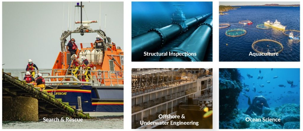
Effective environmental monitoring depends on collecting reliable data safely and efficiently. By reducing the need for frequent diver deployments, organizations can minimize operational risks while expanding access to challenging underwater environments. More frequent inspections also provide richer datasets that support long-term ecological studies and environmental management.
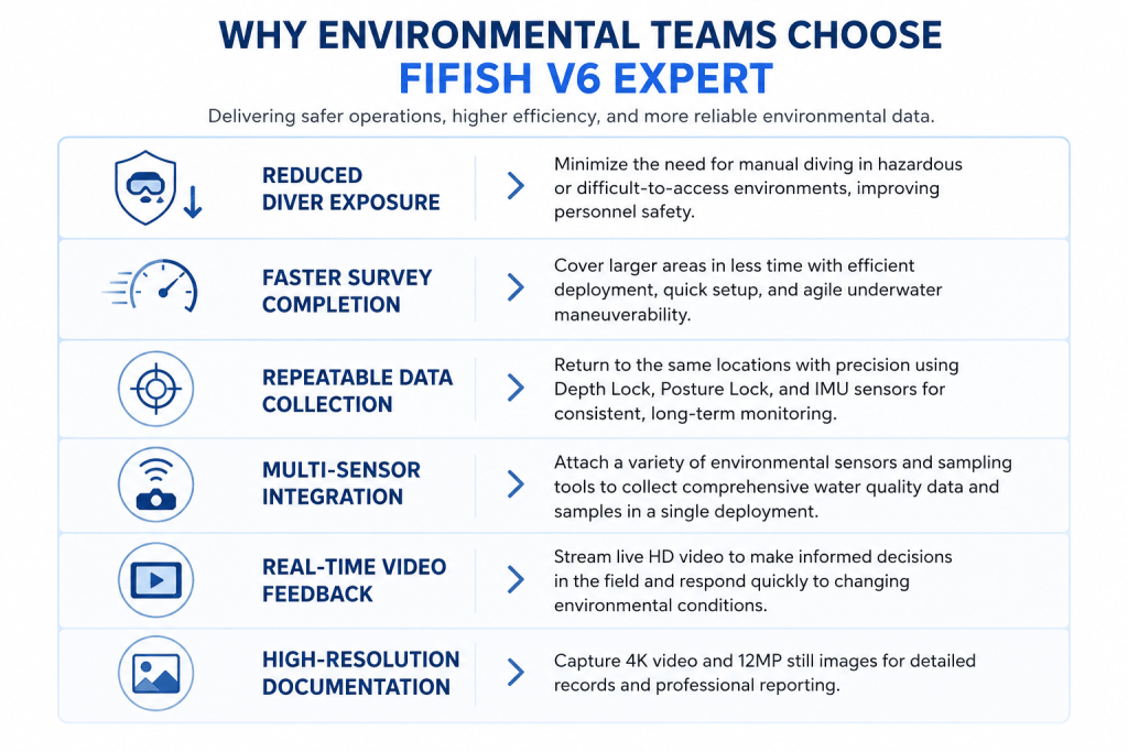
The FIFISH V6 Expert combines high-resolution imaging, stable underwater navigation, and support for specialized environmental tools in a single platform. This enables researchers, government agencies, and environmental consultants to document habitats, assist with water quality monitoring, and conduct repeatable surveys with greater efficiency. The result is more consistent reporting, improved decision making, and stronger support for conservation, restoration, and environmental compliance initiatives.
As environmental challenges continue to evolve, advanced underwater ROVs are becoming an essential tool for protecting and managing aquatic ecosystems.
Strengthening Environmental Monitoring with the FIFISH V6 Expert
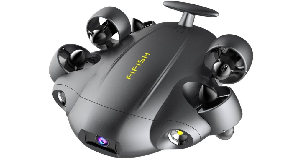
As environmental monitoring becomes more complex, organizations need underwater solutions that deliver accurate data without compromising safety or efficiency. The FIFISH V6 Expert combines high-resolution imaging, precise underwater maneuverability, and support for specialized environmental sampling tools to help researchers and field teams collect reliable information across a wide range of aquatic environments.
Whether you’re mapping underwater habitats, supporting water quality assessments, or conducting long-term ecological studies, the FIFISH V6 Expert provides the flexibility and performance needed to make informed environmental decisions.
Ready to elevate your environmental monitoring capabilities? Explore the FIFISH V6 Expert on the Dynatech Innovations product page to learn more about its features, technical specifications, and environmental monitoring applications. If you’re unsure which configuration best fits your operational requirements, Dynatech Innovations’ experienced team can help you evaluate your needs, recommend the right solution, and provide expert guidance to support the success of your next environmental monitoring project.