In the unpredictable tapestry of life, disasters are the unexpected chapters that test our resilience and unity, compelling us to navigate the storm with a shared purpose and determination. Disaster response stands as a testament to the unyielding spirit of humanity, where the pivotal role of people becomes a beacon of hope in the face of adversity. It embodies the collective response of individuals, organizations, and governments in the aftermath of catastrophic events, be they the wrath of nature or the consequences of human actions.
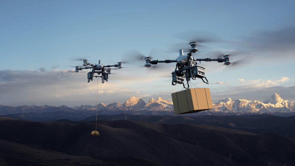
The integration of technology in disaster response significantly improves efficiency, coordination, and speed, revolutionizing the way responders gather, analyze, and utilize critical information to enhance overall effectiveness in crisis situations. From geospatial mapping for accurate situational awareness to the use of drones for rapid assessments, the application of technology amplifies the impact of human efforts, ensuring a more precise and informed approach to disaster management.
Challenges in Traditional Disaster Response
Traditionally, the challenge in handling disaster response lies in the inherent limitations of conventional approaches. The reliance on manual data collection methods, delayed information dissemination, and the lack of real-time situational awareness hinder the swift and coordinated deployment of resources. Additionally, the traditional models often struggle to keep pace with the increasing frequency and complexity of disasters, leaving responders grappling with outdated information and overwhelmed infrastructures.
In this era of technological innovation, the need to transcend these challenges becomes imperative, emphasizing the urgency of integrating cutting-edge solutions, such as mapping technologies and drones, to revolutionize and enhance the efficacy of disaster response efforts.
Real-time Mapping in Crisis Management
Real-time mapping takes center stage in crisis management, reshaping the landscape of disaster response. Providing a dynamic, up-to-the-minute visualization of affected areas, real-time mapping empowers responders to swiftly assess the unfolding situation on the ground. This is precisely where drone technology proves instrumental. Its rapid responsiveness significantly diminishes the overall response time, potentially translating into life-saving interventions during critical moments.
Real-time Surveillance. It promotes immediate situational awareness, allowing responders to monitor evolving situations and adapt strategies accordingly. This live feedback loop aids in the dynamic coordination of response activities, facilitates rapid decision-making and enhances mapping precision.
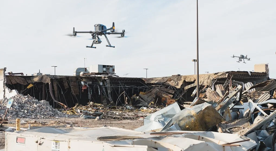
High-resolution Imagery: With state-of-the-art, high-resolution cameras, drones capture intricate details of the disaster’s impact, contributing to meticulous damage assessment. For search and rescue missions, real-time mapping aids in identifying the most efficient routes and access points, which is particularly critical in reaching remote or challenging terrains.
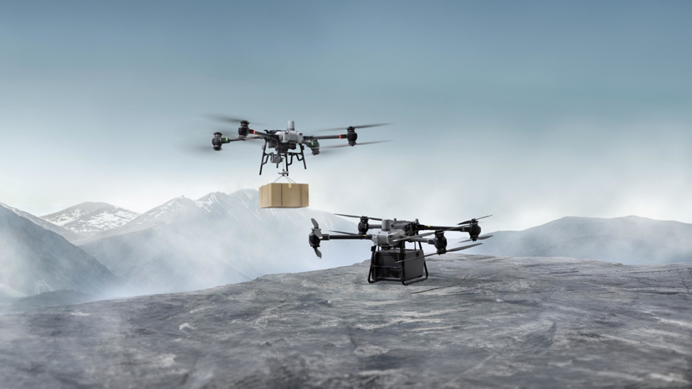
Navigational Versatility: equipped with advanced obstacle avoidance systems and GPS technologies, drones demonstrate exceptional agility in accessing remote or hazardous locations that might pose challenges for traditional means. This inherent capability of modern drone technology proves vital in mapping disaster-stricken regions that would otherwise pose challenges for responders to access.
Environmental Monitoring: Drones equipped with specialized sensors can assess environmental conditions, monitor air quality, identify hotspots and detect potential hazards, contributing to a comprehensive mapping, understanding of the disaster’s broader impact allowing responders to prioritize these locations for immediate attention and intervention.
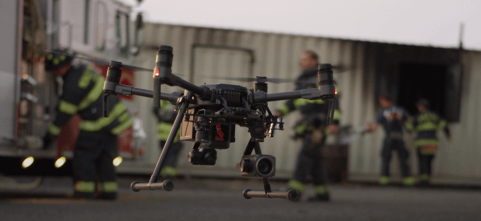
Enhanced Coordination: Drones can serve as mobile communication hubs in areas where traditional infrastructure has been compromised. fosters seamless coordination among response teams, government agencies, and NGOs. Shared, up-to-date maps serve as a common reference point, reducing communication barriers and promoting a unified response strategy anchored in precise mapping data.
Essential Drone Features for Effective Mapping and Disaster Response
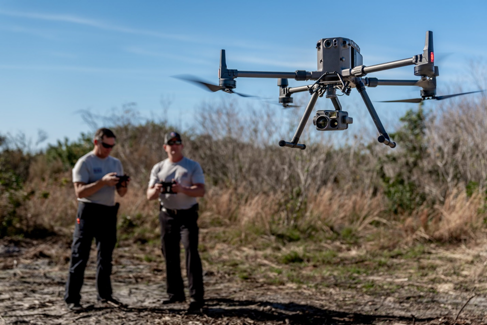
GPS Technologies: Integrated GPS technology ensures accurate geo-location of mapping data. This is crucial for creating precise maps and enhancing the overall accuracy of disaster response efforts.
High-Resolution Cameras: Look for drones equipped with high-resolution cameras to capture detailed imagery, ensuring that mapping data is rich in visual information for accurate analysis.
Specialized Sensors: Drones equipped with specialized sensors, such as thermal imaging or environmental monitoring tools, provide additional data for a comprehensive understanding of the disaster’s impact and potential hazards.
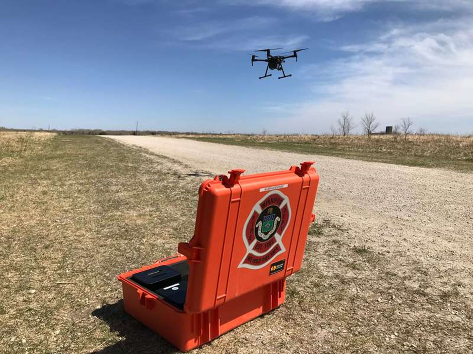
Long Flight Time: Opt for drones with extended flight times, allowing for more extensive coverage during mapping missions without frequent interruptions for battery changes.
Rugged Design: A rugged and durable drone design is essential for reliability in challenging and unpredictable disaster environments. This ensures the drone can withstand varying weather conditions and potential physical stress.
Payload Capacity: Assess the drone’s payload capacity to ensure it can carry additional equipment or sensors, accommodating diverse mapping and monitoring needs during disaster response.
Charting the Future with Technology
In envisioning the future of disaster response, the synergy between mapping technology and drones emerges as a beacon of hope, promising unprecedented advancements in our ability to navigate crises. The journey we’ve explored, from the precision of GPS technologies to the versatility of drones, signifies a transformative trajectory. As we stand at the intersection of human ingenuity and technological innovation, the integration of mapping technology and drones presents a landscape where real-time awareness, rapid data acquisition, and precise mapping converge to redefine the efficiency, accuracy, and timeliness of disaster response efforts.
Looking ahead, the trajectory is clear—innovations in mapping technologies and drone capabilities will continue to shape a more resilient and adaptive response ecosystem. Artificial intelligence, machine learning, and the refinement of sensor technologies hold the promise of even more sophisticated disaster mapping and monitoring. The future holds the potential for drones equipped with advanced sensors to autonomously assess and respond to dynamic situations, providing real-time insights and actionable intelligence to responders.
As we embrace this future, it becomes evident that the integration of mapping technology and drones is not just a technological evolution, but a paradigm shift in our approach to disaster response. The rapid advancements witnessed today lay the groundwork for a tomorrow where our response efforts are not just efficient but proactive, where mapping becomes predictive, and where technology empowers responders to navigate crises with unprecedented precision and speed. It is a future where the fusion of human resilience and technological prowess stands ready to confront the unpredictable challenges that lie ahead, forging a path toward a more resilient and prepared world.