Back


Out of stock
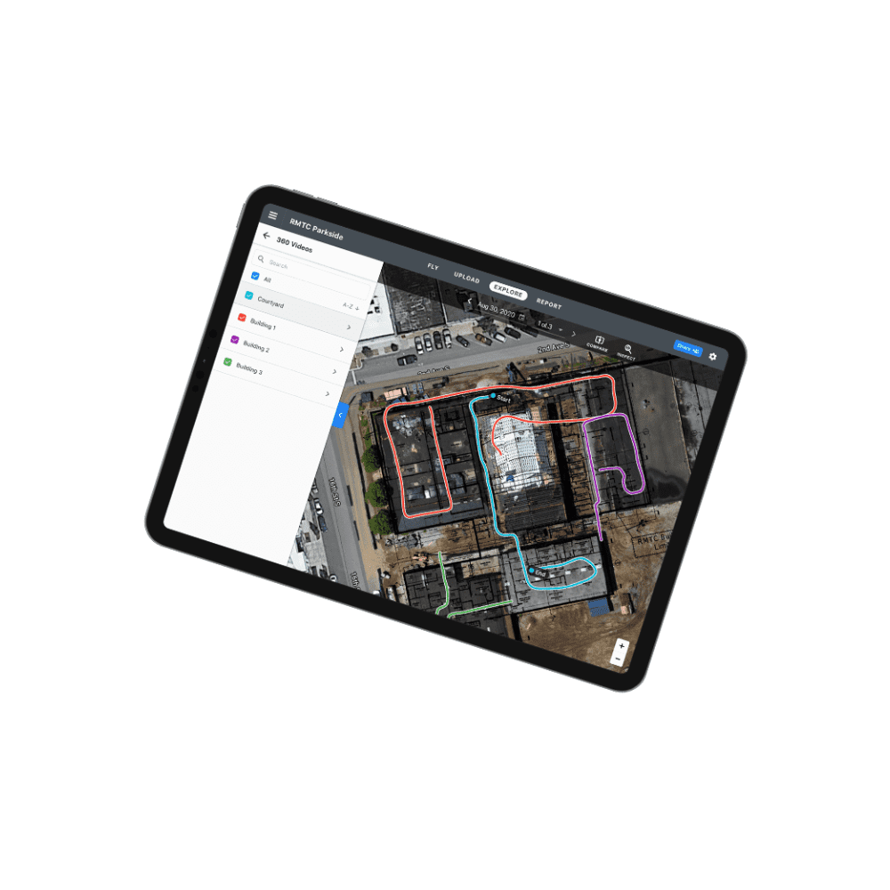
DroneDeploy Mapping Software
DroneDeploy mapping software offer enterprise-level maps and models, provide professionals the information they need perform securely and accurately.
Contact us for more information
-
Description
- Compatible with DJI drones
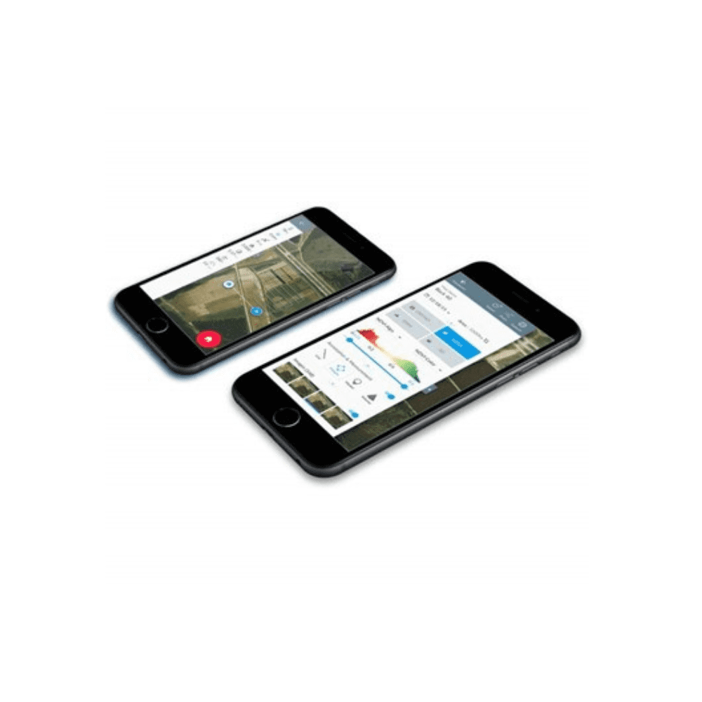
- Fly and capture images
- Generate maps and models using own images
- Analyze and share maps from device
- Exportable data in any format
- Runs pre-flight and in-flight checks for safety
- DroneDeploy, the world’s most powerful UAV and drone mapping software, is now compatible with any drone! And with its user-friendly interface, it can be used by anyone, regardless of experience level.
- This software is a powerful mapping tool that makes it easy for you to create high-resolution maps and 3D models of buildings or landscapes. Simply capture aerial images with your drone, and the software will stitch them together to create a detailed map or model.
- Data transfer is even quick and easy. You can share maps right from your device.
- By adding annotations and other information, you can create a highly informative map that can be used for planning or analysis. Use it to automatically create high-resolution 3D maps with survey-level accuracy.
- Whether you’re a professional surveyor or a hobbyist drone pilot, the software is an indispensable tool for your organization’s drone mapping needs.
- Agriculture, construction, inspection, mining, you name it, DroneDeploy will make your life a whole lot easier and more efficient.
- DroneDeploy is available in both pro and business subscriptions.