Back

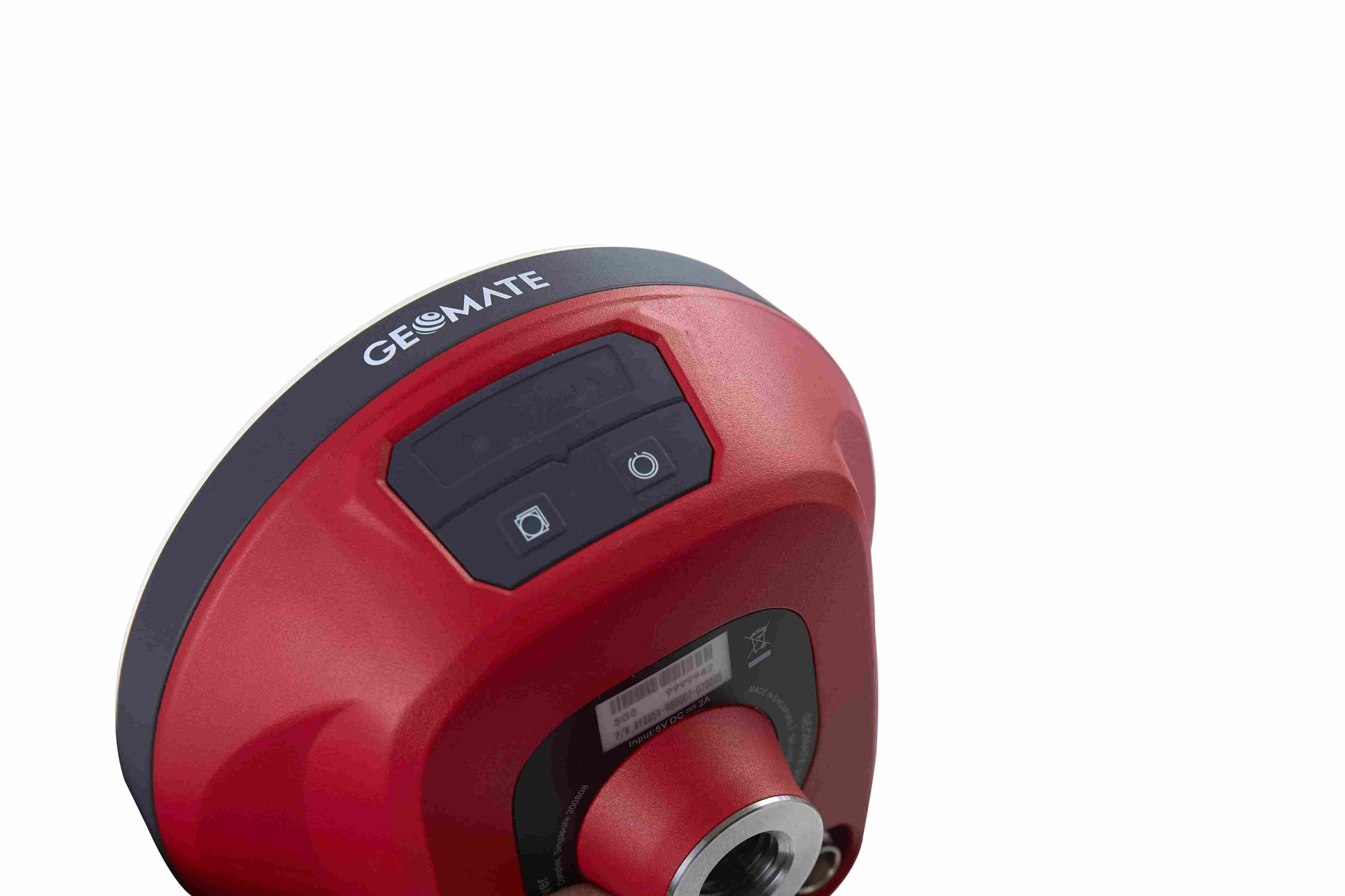
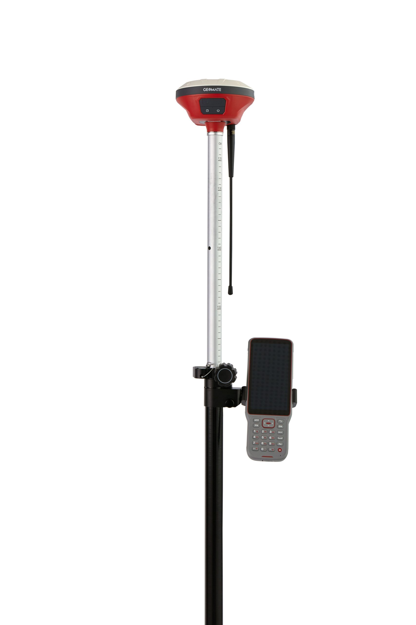
GEOMATE SG5 SMART GNSS IMU-RTK RECEIVER
Out of stock
GEOMATE SG5 SMART GNSS IMU-RTK RECEIVER
- Channels: 1608-Channel GNSS Engine
- Real time kinematic (RTK): Horizontal 8 mm + 1 ppm RMS, Vertical: 15 mm + 1 ppm RMS
- Till Angle: 0-60°
- UHF Radio Range: Typical 3 km, up to 8km with optimal conditions
Contact us for more information
-
Description
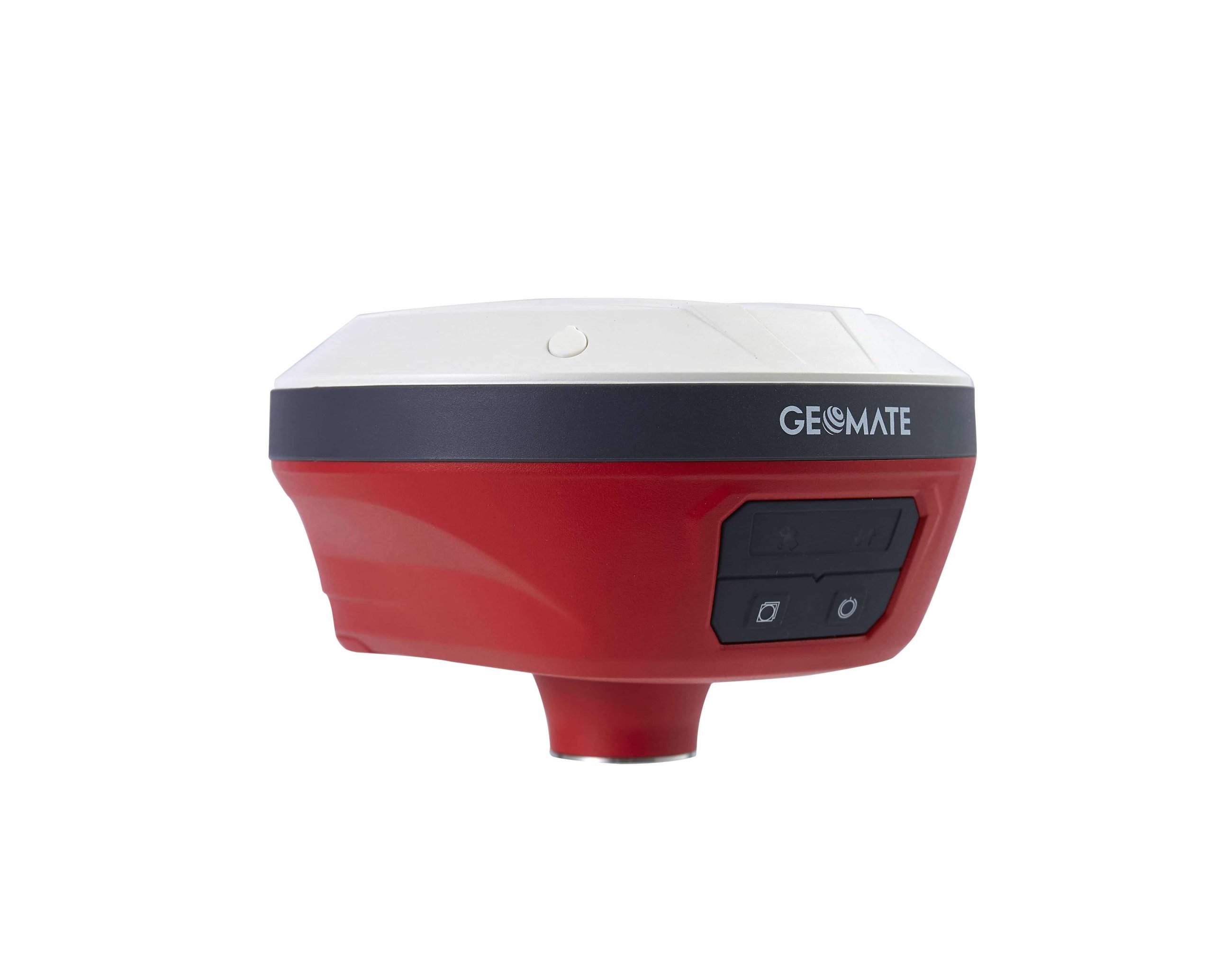
The GeoMate GNSS SG5 is the latest premium GNSS geodetic receiver made in Singapore. Designed to meet the highest standards, the SG5 is a high-performance 1608-channel IMU-RTK GNSS receiver that delivers the performance and reliability you need to survey your work sites with confidence.
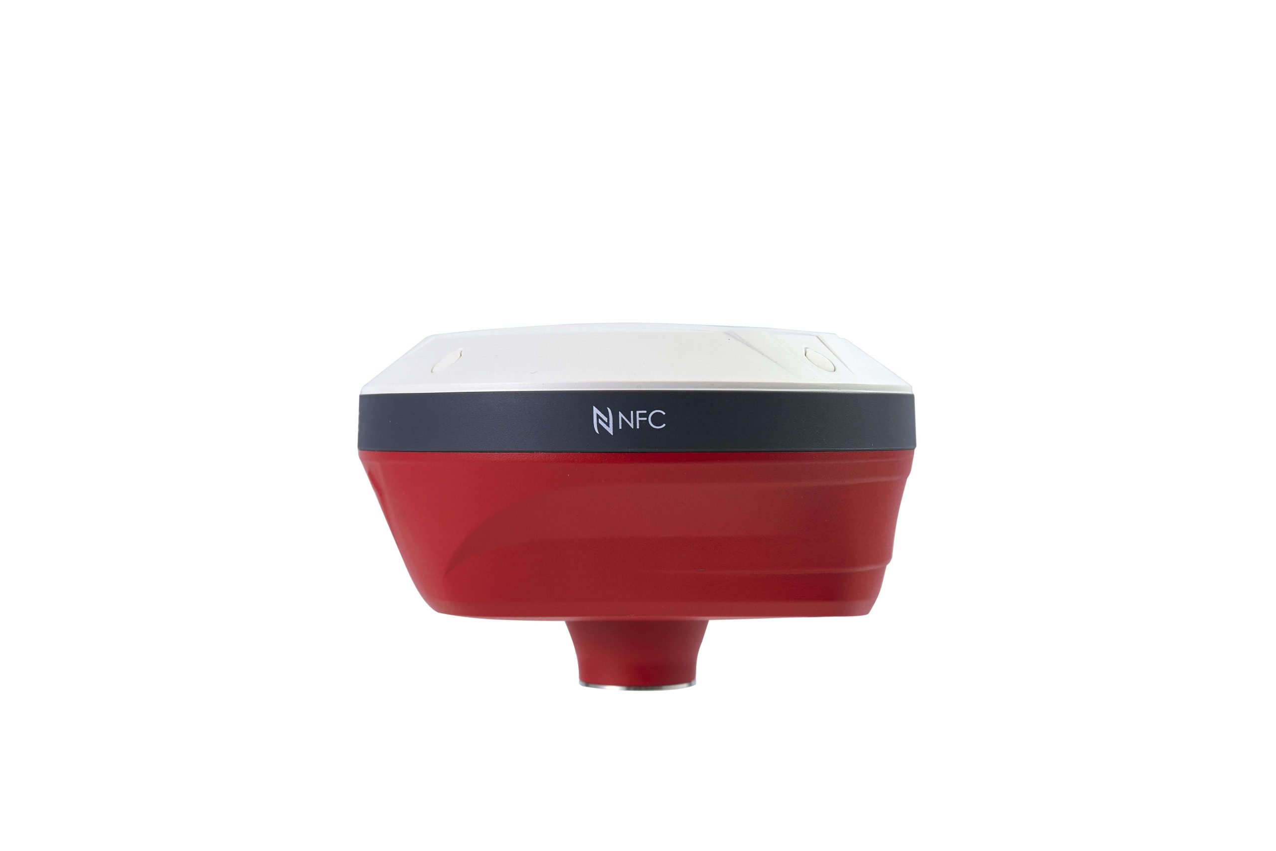
The SG5 has built-in connection modules including Wi-Fi, Bluetooth, NFC, UHF modem to support a variety of application scenarios, such as urban surveying and mapping, road infrastructure construction, urban utility development, housing construction and more.
Specification
GNSS Performance
| Channels | 1608 channels |
| GPS | L1C/A, L2C, L2P(Y), L5 |
| GLONASS | L1, L2, L3* |
| Galileo | E1, E5a, E5b, E6* |
| BeiDou | B1I, B2I, B3I, B1C, B2a, B2b* |
| QZSS | L1C/A, L1C, L2C, L5 |
| NavIC/ IRNSS | L5 |
| PPP | B2b-PPP, E6B-HAS |
| SBAS | EGNOS (L1, L5) |
GNSS Accuracies
| Real time kinematic (RTK) | Horizontal: 8 mm + 1 ppm RMS |
| Vertical: 15 mm + 1 ppm RMS | |
| Initialization time: < 10 s | |
| Initialization reliability: > 99.9% | |
| Post-processing kinematic (PPK) | Horizontal: 3 mm + 1 ppm RMS Vertical: 5 mm + 1 ppm RMS |
| PPP | Support PPP-B2b, E6B-HAS H: 10cm | V: 20cm |
| Post-processing static | Horizontal: 2.5 mm + 0.5 ppm RMS Vertical: 5 mm + 0.5 ppm RMS |
| Code differential | Horizontal: 0.4 m RMS Vertical: 0.8 m RMS |
| Autonomous | Horizontal: 1.5 m RMS Vertical: 2.5 m RMS |
| Positioning rate | 1 Hz, 5 Hz and 10 Hz |
| Time to first fix | Cold start: < 45 s Hot start: < 10 s Signal re-acquisition: < 1 s |
| IMU update rate | 200 Hz |
| Till angle | 0-60° |
| RTK tilt-compensated | Additional horizontal pole-tilt uncertainty typically less than 8 mm + 0.7 mm/° tilt |
Hardware
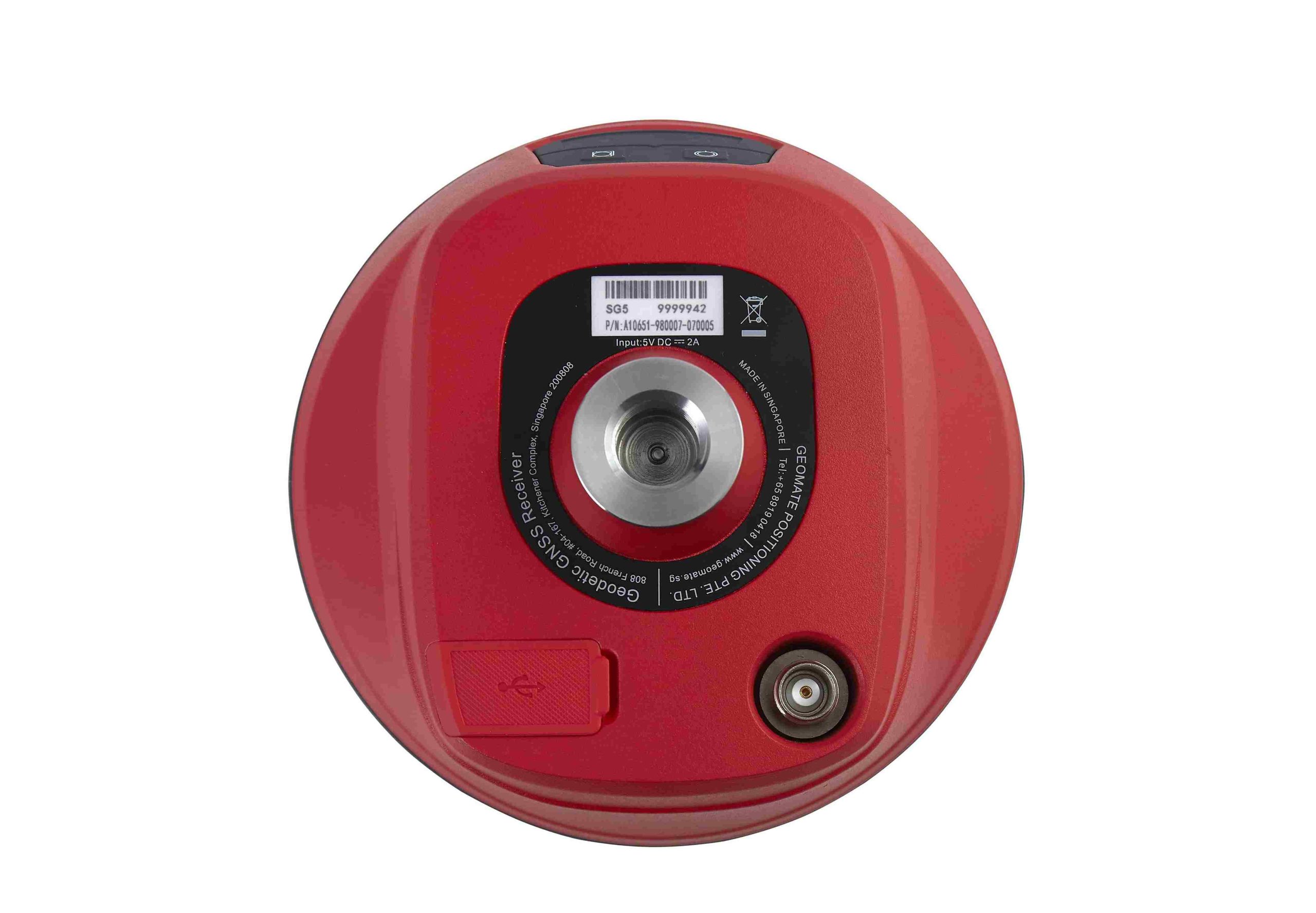
| Size (LxWxH) | Φ119 mm x 85 mm (Φ4.69 in x 3.35 in) |
| Weight | 0.73kg (1.61 lb) |
| Front Panel | 4 LED, 2 physical buttons |
| Environment | Operating: -40°C to +65°C (-40°F to +149°F) Storage: -40°C to +85°C (-40°F to +185°F) |
| Humidity | 100% non-condensation |
| Ingress protection | IP67 |
| Shock | Survive a 2-meter pole drop |
| Tilt Sensor | Calibration-free IMU, E-Bubble leveling |
Communication
| Wi-Fi | 802.11 b/g/n, access point mode |
| Bluetooth® | V4.2 |
| Ports | 1 x USB Type-C port (external power, data download, firmware update) 1 x UHF antenna port (TNC female) |
| UHF radio | Standard Internal Rx/Tx: 410 – 470 MHz Transmit Power: 0.5 W, 1 W Protocol: Transparent, TT450, Satel Link rate: 9600 bps to 19200 bps Range: Typical 3 km,up to 8km with optimal conditions |
| Data formats | RTCM 2.x, RTCM 3.x, CMR input / output RINEX 2.11, 3.02 NMEA 0183 output NTRIP Client, NTRIP Caster |
| Data storage | 8 GB internal memory |
Electrical
| Power Consumption | Typical 2.2 W (depending on user settings) |
| Li-ion Battery Capacity | Built-in non-removable battery 6,600 mAh, 7.2 V |
| Operating time on internal battery | UHF RTK Rover: up to 24h UHF RTK Base: up to 10.5 h Static: up to 25 h |
Related products
-
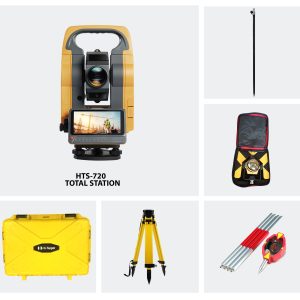
Hi-Target HTS-720 Android Total Station (Full Set)
AED13,400.00 VAT Excl -