Back


Out of stock
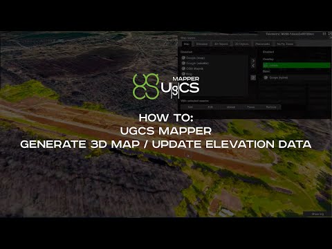
UgCS Mapper
Photogrammetry Processing to convert drone images into precise 2D maps and 3D models for accurate measurements in surveying and construction.
Compatibility with Various Drone Models to offer flexibility and utility for users with different drones.
Cost-Effective Solution to provide an affordable mapping and modeling tool, lowering the barrier to entry for small businesses and professionals.
Orthomosaic Generation to produce high-resolution, georeferenced maps for detailed analysis in such industries like agriculture, urban planning, environmental monitoring, education and others.
Contact us for more information
-
Description
UgCS Mapper is an affordable lightweight drone image and video processing software by SPH Engineering to create 2D maps and elevation models.
Benefits
- Work offline in the field – UgCS Mapper is capable of working purely offline so that you can quickly stitch the map and validate the quality and density of survey data before leaving the survey area.
- Stitch multispectral RGN JPEG – Upload multispectral 3- channel RGN JPEG images of the field into UgCS Mapper for stitching and generate NDVI indexes to assess crop health.
- Stitch on the fly – When default map sources are not available or obsolete, create up-to-date maps and elevation data on the fly. They are accurate enough for safe mission planning and guiding first response teams.
Features
- Orthophoto generation- Stitching orthophoto from georeferenced JPG images
- Multispectral cameras- Stitch multispectral 3-channel RGN JPEG images to generate NDVI indexes. Compatible with Micasense RedEdge-M, RedEdge-MX
- DSM/elevation data- Generate DSM/elevation data from georeferenced JPG images
- Integration- A new map one click away and DSM export from UgCS Mapper into UgCS
- Live mapping from the video stream- Combined with UgCS ENTERPRISE license, UgCS Mapper supports LIVE mapping from a drone’s video stream.