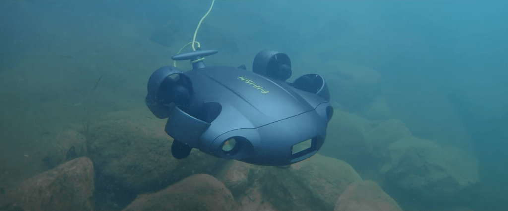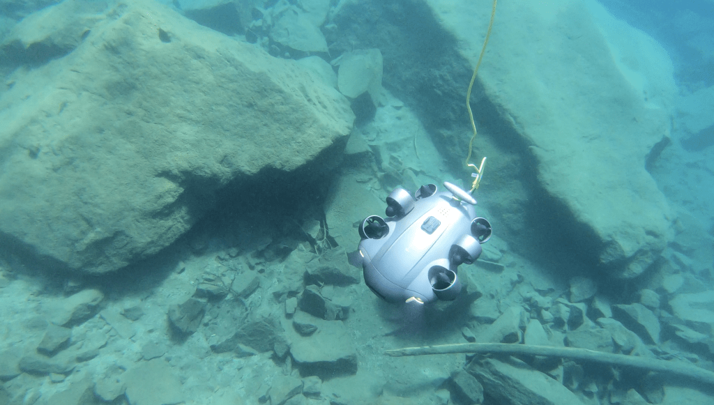

The most critical defects in an asset are often the ones no one can see. Corrosion on a bridge foundation, damage along a quay wall, or sediment buildup around an intake structure can remain hidden beneath the surface until they become costly problems. For engineers and asset managers, the challenge is not simply accessing these underwater environments. It is collecting accurate, repeatable data that can support informed decisions.
This is where the FIFISH E-Master Navi changes the conversation. Designed for industrial inspection and surveying, it combines underwater navigation, precise positioning, and high-quality imaging to help operators capture more than just video footage. Instead, it enables structured data collection that can be reviewed, compared, and acted upon over time.
The true value of underwater surveying is not measured by how deep you can go, but by how accurately you can understand what lies below.
Inside the FIFISH E-MASTER Navi: The Ultimate Underwater ROV for Inspection & Surveying
Why Traditional Underwater Surveys Leave Data Gaps
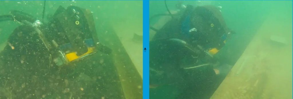
For decades, underwater inspections have relied heavily on divers, handheld cameras, and manual observations. While these methods remain valuable in certain situations, they often create challenges when projects require consistent, measurable, and repeatable survey data.
Visibility conditions can change from one dive to the next, making it difficult to document assets in the same way each time. Measurements and observations may also vary between operators, introducing inconsistencies that affect long-term monitoring. In complex environments such as ports, dams, offshore structures, and water treatment facilities, these limitations can make it harder to identify gradual changes or accurately compare inspection results over time.
Safety is another consideration. Strong currents, confined spaces, and limited underwater visibility can increase operational risks while extending survey durations.
These challenges highlight a fundamental issue in underwater surveying: seeing an asset is only part of the job. To produce reliable inspection records, operators must also know exactly where the data was collected and be able to return to the same location in future surveys. That is where underwater navigation becomes a critical part of the workflow.
Precision Navigation Changes Everything
One of the biggest challenges in underwater surveying is returning to the same location and documenting it consistently over time. Without reliable positioning, inspections become difficult to compare, which limits the ability to track structural changes or confirm maintenance results.
The FIFISH E-Master Navi addresses this through its Q-DVL hovering system, which combines Doppler Velocity Log (DVL) sensing with intelligent stabilization control. This allows the ROV to maintain stable positioning and smoother station-keeping even in environments with limited visibility or complex water movement.
It supports centimeter-level positioning accuracy in controlled conditions, helping operators maintain awareness of movement relative to structures such as quay walls, bridge foundations, dams, and intake systems. By reducing drift and improving spatial stability, the system ensures that inspection paths remain consistent across repeated survey runs.
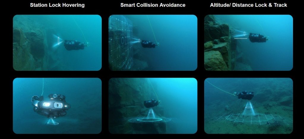
Directional control assistance further improves maneuverability, allowing smoother tracking along surfaces and more controlled distance management. This is especially important when collecting data that needs to be compared across multiple missions.
For engineering teams and asset owners, this turns underwater inspection from a one-time observation into a repeatable survey workflow that supports long-term monitoring and decision-making.
Key Takeaway: Q-DVL-based stabilization enables consistent positioning, making underwater surveys repeatable and comparable over time.
Turning Visual Inspections into Actionable Mapping Data
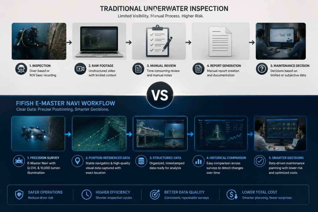
Underwater surveys often produce large volumes of video, but not all of it translates into usable inspection data. Limited visibility, uneven lighting, and unclear surface definition can make it difficult to extract reliable information from raw footage.
This is especially critical in ship hulls, port infrastructure, intake systems, and reservoir walls, where small changes like corrosion, cracks, or sediment buildup need to be clearly documented over time. Without consistent visual clarity, comparison between survey cycles becomes unreliable.
The FIFISH E-Master Navi improves this through high-definition imaging supported by up to 10,000-lumen LED illumination. This high-output lighting enhances visibility in turbid or low-light underwater conditions, helping reveal fine surface details that would otherwise be missed. Combined with real-time video transmission, operators can assess structures while the inspection is ongoing, not just after data review.
When paired with structured navigation paths, this clarity turns raw footage into repeatable inspection records that can be measured and compared across missions.
Surveying in Challenging Underwater Environments
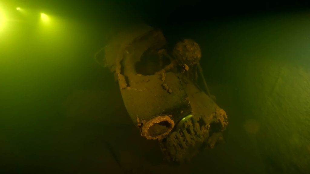
Many underwater inspections take place in environments where visibility is limited and access is restricted. Assets such as pipelines, intake structures, storage tanks, and underwater foundations often contain debris, sediment, and confined spaces that make data collection difficult.
The FIFISH E-Master Navi is designed for these conditions. Its compact design and omnidirectional mobility allow operators to maneuver around complex structures and navigate tight spaces with greater control. Combined with the Q-DVL hovering system, the ROV can maintain stable positioning while documenting specific areas of interest, helping improve inspection consistency.
This allows survey teams to collect more complete data in locations that may be difficult, time-consuming, or unsafe for diver-based inspections. The result is better documentation, improved efficiency, and greater confidence in survey outcomes.
The Business Impact of Precision Underwater Surveying
The value of underwater surveying is ultimately measured by the decisions it enables. While advanced navigation, imaging, and positioning technologies improve how inspections are performed, their greatest impact comes from the quality and reliability of the data they produce.
With more complete and repeatable survey records, organizations can reduce reliance on diver-based inspections, lowering personnel exposure to potentially hazardous environments. Faster deployment and structured data collection also help shorten inspection cycles, allowing teams to assess assets more efficiently without sacrificing documentation quality.
Consistent reporting provides a clearer picture of asset condition over time, making it easier to identify deterioration, prioritize repairs, and plan maintenance activities with greater confidence. This proactive approach can help prevent costly failures while improving the allocation of maintenance budgets and operational resources.
The result is a more efficient inspection workflow, lower operational costs, and better-informed asset management decisions.
Conclusion
As underwater infrastructure becomes more critical to daily operations, the demand for accurate and repeatable survey data continues to grow. Whether inspecting port facilities, bridge foundations, reservoirs, pipelines, or offshore assets, organizations need more than visual confirmation of asset conditions. They need reliable information that can support long-term maintenance and operational decisions.
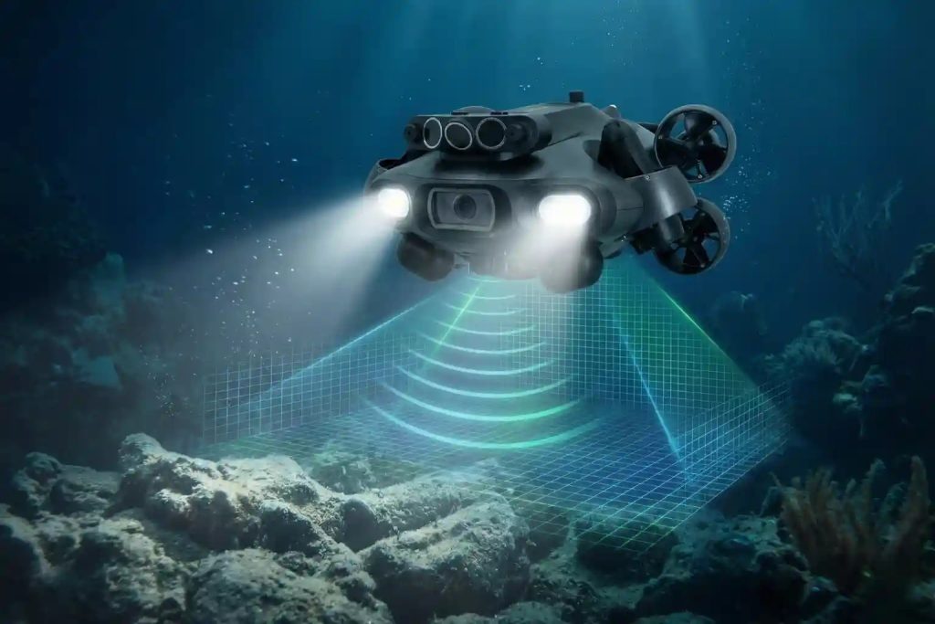
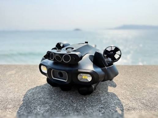
The FIFISH E-Master Navi addresses this challenge by combining precision navigation, Q-DVL hovering technology, high-quality imaging, and advanced surveying tools into a single underwater platform. Features such as U-INS underwater navigation, QY-BT 2D and 3D mapping, AI-assisted measurement capabilities, and up to 10,000-lumen illumination help transform inspections into structured, data-driven surveys.
The result is greater confidence in survey outcomes, more efficient inspections, and better asset management decisions over time.
Ready to move beyond traditional underwater inspections? Explore how the FIFISH E-Master Navi can help your team collect more accurate, repeatable, and actionable underwater survey data through Dynatech Innovations.