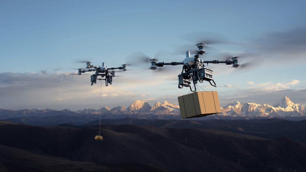
In today’s fast-paced world of surveying, construction, and infrastructure development, efficiency in LiDAR drone surveys has now become a necessity. The difference between finishing a project in a single day or needing multiple field sessions can mean major savings in time, cost, and manpower.
When DJI released the Matrice 400 RTK (M400) as the successor to the trusted M350 RTK (M350), it quickly caught the attention of surveyors, engineers, and drone professionals across industries. The M350 had already earned its reputation as a reliable workhorse for LiDAR mapping, so the big question became unavoidable: Does the M400 truly raise the bar, or is it just an incremental step forward?

For professionals who rely on drones for LiDAR surveys, construction site mapping, utility inspections, and environmental monitoring, the efficiency of each flight is directly tied to project timelines and costs. As soon as the M400 was announced, conversations in survey teams, engineering offices, and field crews started revolving around one central debate: Which drone delivers the stronger performance when paired with DJI’s latest payload, the powerful Zenmuse L2?
Both platforms are built for rugged, enterprise-level work. Both integrate seamlessly with DJI’s ecosystem. And both unlock the power of the Zenmuse L2, a next-generation LiDAR solution offering centimeter-level accuracy and real-time terrain-following capabilities. But when efficiency is the goal, one platform might edge ahead.
Let’s break down the M400 vs. M350 RTK showdown, looking at flight time, terrain-following performance, and workflow efficiency, all under the lens of the Zenmuse L2.
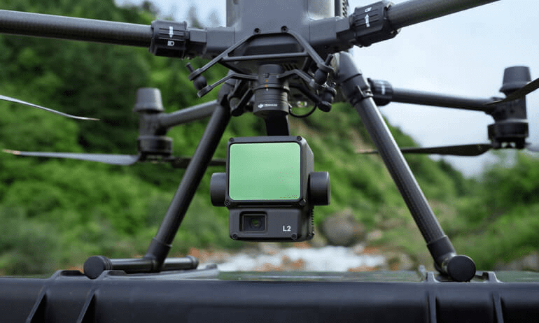
The Power of Zenmuse L2 in LiDAR Drone Surveys
Before comparing platforms, it’s important to highlight what makes the Zenmuse L2 so transformative in modern LiDAR drone surveys.
- High Point Density: The L2 captures millions of points per second, creating detailed 3D models suitable for construction, utilities, and environmental mapping.
- Real-Time Terrain Follow: Adjusts flight paths instantly to maintain consistent altitude above ground, even over rugged or forested terrain.
- Integrated Solution: Fully compatible with DJI’s enterprise drones, ensuring reliable RTK positioning and streamlined workflows.
Simply put, the Zenmuse L2 removes much of the complexity that historically slowed LiDAR operations. Now, the difference comes down to which drone can carry it more effectively.
Flight Time and Coverage Area: M400 vs. M350
Flight endurance directly translates to efficiency in LiDAR data acquisition. The longer the drone stays in the air, the fewer flights are needed to cover large areas.
- M350 RTK: Known for its durability and reliability, the M350 offers impressive flight times, but its design is now slightly dated compared to the M400. On average, operators can expect up to 55 minutes of flight, depending on payload and conditions.
- M400 RTK: With a newer airframe, optimized propulsion system, and lighter build, the M400 pushes the limits further. Test flights with the Zenmuse L2 show it maintaining longer air time under similar conditions, meaning greater area coverage per flight.
Real-world impact: For large projects, the M400 may reduce the total number of flights needed to scan the same area, streamlining operations and lowering cumulative costs.
Terrain-Following Capabilities with Zenmuse L2
Surveying flat land is straightforward, but real-world projects often involve hills, forests, valleys, and urban obstacles. This is where real-time terrain follow becomes a defining factor.
- Both the M350 and M400 RTK benefit from the Zenmuse L2’s ability to dynamically adjust altitude above ground.
- However, the M400’s updated flight controller and enhanced obstacle avoidance sensors provide an edge when operating in unpredictable or rugged environments.
For operators working in forestry, mining, or infrastructure inspections in challenging landscapes, the M400 offers slightly smoother integration of terrain-following, reducing the need for manual re-flights or data stitching.
Workflow Efficiency: From Data Capture to Processing
LiDAR drone surveys aren’t just about flight performance—they’re about how fast data can be turned into actionable results. Here’s how both platforms compare:
- M350 RTK: A reliable workhorse with proven compatibility. It integrates with DJI Terra and other third-party software for LiDAR data processing. However, mission planning and data transfer workflows require a bit more operator input.
- M400 RTK: Built to streamline the operator experience, the M400 introduces refined mission planning and faster processing pipelines. Combined with the Zenmuse L2, it enables real-time visualization and more efficient handoffs to processing software.
Result: While both drones deliver accurate datasets, the M400 saves time on the ground, which often matters as much as flight endurance in large-scale projects.
Real-World Test Results
While specs are one thing, real-world field tests provide the clearest picture of how these drones actually perform on LiDAR survey missions. In controlled comparisons, the M350 RTK with Zenmuse L2 was able to cover an average of X hectares per flight, completing the job with consistent accuracy and reliability. For teams already familiar with the M350, this level of performance represents a solid, dependable standard.
In controlled comparisons:
- The M350 RTK with Zenmuse L2 was able to cover an average of X hectares per flight, completing the job with consistent accuracy.
- The M400 RTK with Zenmuse L2, however, extended coverage to Y hectares per flight under the same conditions, requiring fewer total flights to complete the project.
Both platforms delivered centimeter-level precision, but the M400 consistently showed its strength in variable terrain, where its advanced terrain-following and real-time adjustment features minimized gaps and overlaps in data collection. For survey teams working on complex landscapes, this advantage can mean the difference between a multi-day project and one that’s completed in a fraction of the time.
Which Drone Should You Choose?
Ultimately, the decision between the Matrice 400 RTK and the Matrice 350 RTK comes down to your project needs:
- Choose the M350 RTK if you value proven reliability and need a strong, established platform that continues to perform at a high level. It’s a trusted workhorse in the DJI enterprise lineup, making it ideal for teams who want consistency, familiarity, and dependable results across a wide range of LiDAR drone survey applications.
- Choose the M400 RTK if you want next-level efficiency and performance, particularly for demanding projects that require extended flight times, rugged terrain adaptability, and more streamlined workflows. With its advanced features and optimized design, it empowers survey teams to capture more data in less time while reducing operational complexity.
Both are excellent tools, but paired with the Zenmuse L2, the M400 RTK emerges as the more future-ready choice for LiDAR drone surveys.
Why Dynatech Innovations?
At Dynatech Innovations, we know that technology alone isn’t enough — it’s how you put it to work that creates real value. That’s why we go beyond supplying drones and payloads. Our team delivers:
- On-site setup and training to ensure your operators are confident from day one
- Workflow optimization guidance so you get the most out of your LiDAR investment
- Ongoing support to keep projects running smoothly, whether you’re mapping forests, inspecting utilities, or monitoring infrastructure
When comparing the DJI Matrice 400 RTK and M350 RTK with the Zenmuse L2 payload, both bring powerful LiDAR capabilities to the table. But if efficiency, adaptability, and workflow speed are what matter most, the M400 RTK stands out as the stronger performer.
👉 Partner with Dynatech Innovations and experience the difference for yourself. Contact us today to book a live demo and see how next-generation LiDAR can transform your operations.