

Cerulean Surveyor 240-16 MBES (Multi-beam Echosounder)
Key Features:
- 240 Acoustic frequency, kHz
- 0.5 … 50m Measurement range
- 4° Along track TX beam width
- 80° Cross track TX beam width
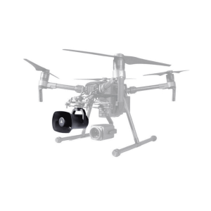
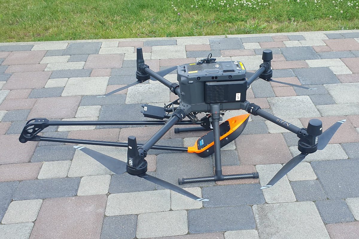
- Compatible with M300/M350/M400
-
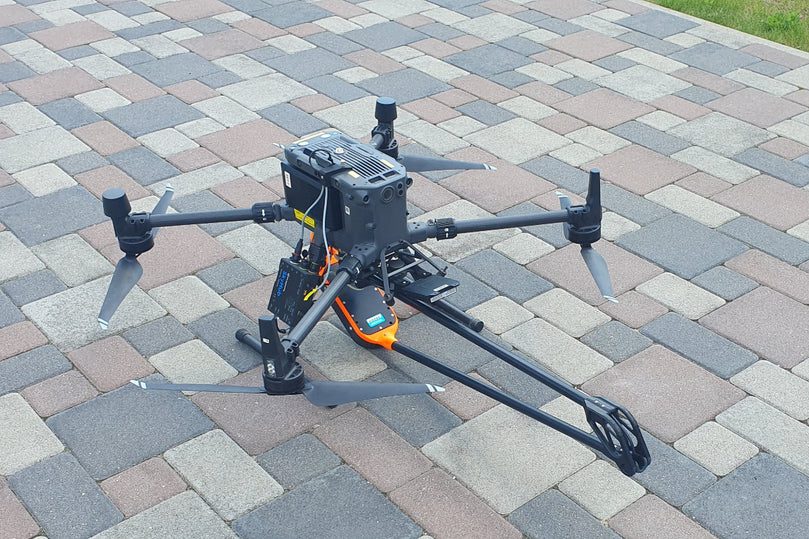
Description
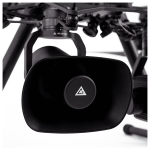
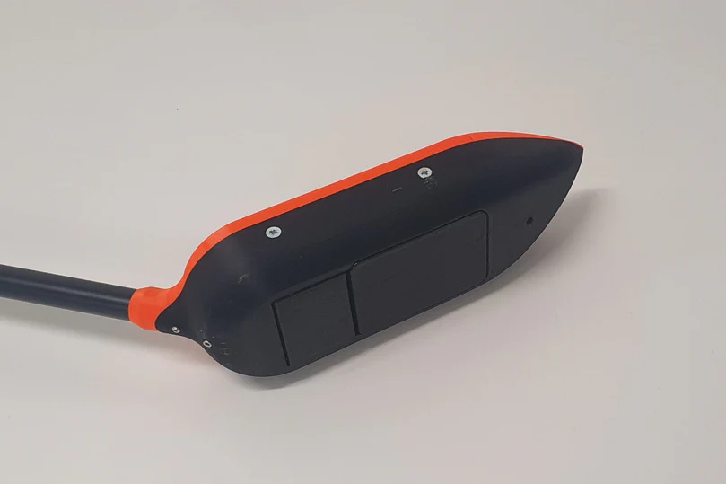
Surveyor 240-16 is a 240 kHz multibeam echo sounder (MBES). It has a transmit beam approximately 4 degrees along track, 80 degrees cross track, and a 16-element receive array.
Surveyor 240-16 utilizes an angle-of-arrival estimation algorithm to measure cross track location of specific acoustic reflectors well in excess of the accuracy achievable with conventional beam-forming techniques. Thus, although the effective cross track beam width with conventional beam forming is about 7 degrees, Surveyor can resolve angle of arrival to less than one degree.
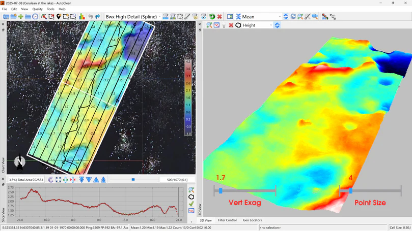
Depending on the range and acoustic properties of the bottom, Surveyor typically identifies 10-15 acoustic targets across track within a swath width of 80 degrees. The position and depth of these targets are then accurately calculated by range and angle of arrival.
Surveyor includes a built-in IMU for pitch and roll. Heading and coordinates for data geotagging are coming from the drone.
HS Code: 90158040 (hydrographic instruments)
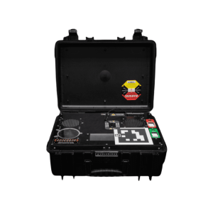
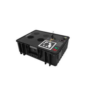
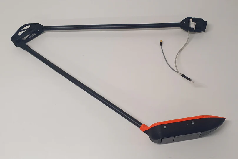
Comes with an Ethernet interface and connector for SkyHub.
| Sensor | Surveyor 240-16 |
| Type | MBES (multibeam) |
| Acoustic frequency, kHz | 240 |
| Measurement range | 0.5 … 50m |
| Along track TX beam width | 4° |
| Cross track TX beam width | 80° |
| RX array # elements | 16 |
| Cross track beam width | 7° (conventional beamforming) |
| Cross track angular resolution | 1° (angle of arrival) |
| Range resolution | 0.5% of range setting |
| Weight of the echo sounder (in the air, including foldable mounting), kg | 1.8 |
| Weight of all components (in the air), kg (sensor, SkyHub, altimeter, housing, cables, mountings) | 2.4 |
| Suitable DJI drones (or Pixhawk drones of comparable size) | M400 RTK M350 RTK M300 RTK |