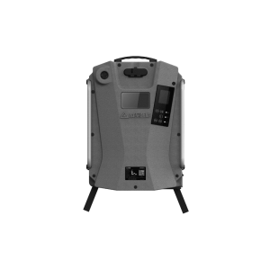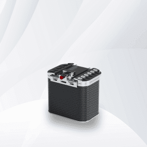
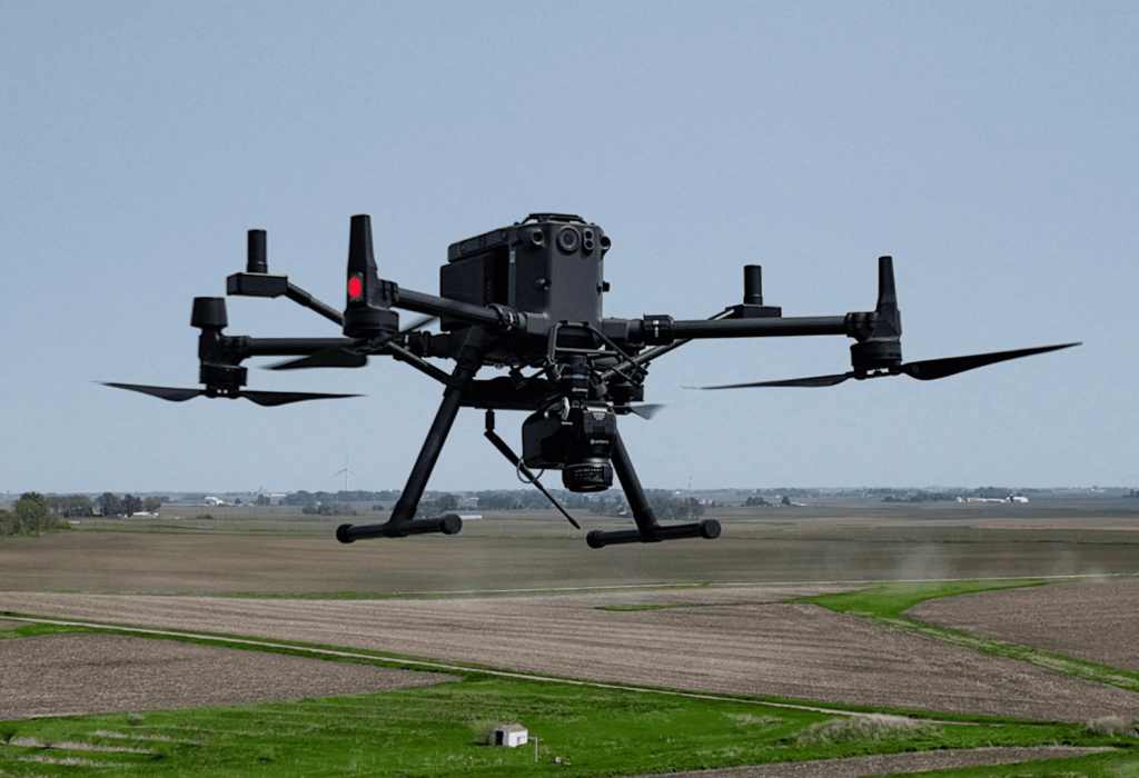
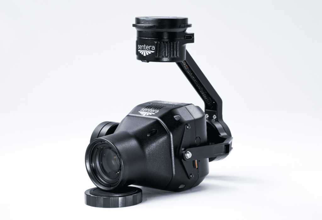
Sentera Direct Georeferencing System (DGR) with 65R Sensor for M300/M350
Sentera Direct Georeferencing System (DGR) with 65R Sensor for M300/M350
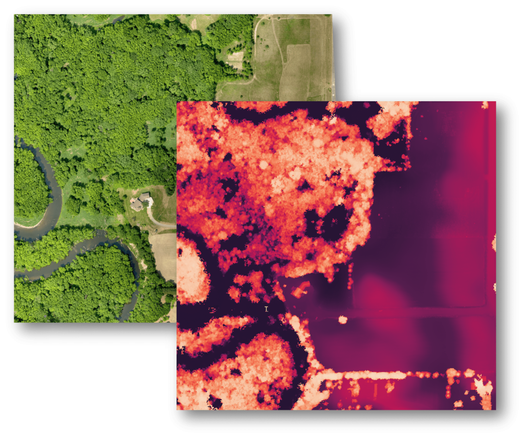
Direct Georeferencing (DGR) System delivers high-precision location certainty in minutes to create aerial view and multispectral maps — no ground control or stitching needed.
- Decrease flight time by 60%
- Capture 9x fewer images
- Eliminate post-processing
- Get data 5x faster
-
Description
Leverage Precise Geolocation Technology for 5x Faster Ag Data Delivery
From pre-flight planning to in-the-air image capture to post-processing, the Sentera Direct Georeferencing (DGR) System increases efficiency and reduces total project time by nearly 90% — helping agronomic leaders capture more data, faster so they can focus on data validation and outcomes.
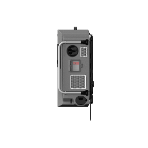
Key Specifications of the DGR System
| ACCURACY | CAMERA SENSOR | COVERAGE |
|---|---|---|
| Dual Antenna RTK GPS: 5cm (2 inches) | 6X: 20 MP RGB +5 Band Multispectral | 440 acres per flight at 120m altitude GSD: RGB = 2.0 cm Monochrome = 5.20cm |
| Inertial Navigation Camera Orientation: 0.5° | 6X Thermal: 20 MP RGB +4 Band Multispectral +320 x 256 LWIR | 220 acres per flight @ 60m altitude GSD: RGB = 1.0 Monochrome = 2.60 cm |
| Laser Rangefinder Distance to Canopy: 1% | 65R: Ultra-high-resolution 65 MP RGB | |
| Geolocation Accuracy at 60m (200 feet): <25cm (10 inches) |
How it Works
-
Get ready for flight.
Instead of defining ground control points, prepare for your flight by quickly connecting the DGR System to the DJI M300 Drone: Add tactical-grade inertial measurements (IMU) and dual RTK GPS functionality) in just a few steps.
-
Fly and capture data.
Because images require 50% less overlap, capture 9x fewer images for analysis. The result? Faster flights – from 45 minutes to less than 20!
-
View and analyze key data.
With 5x faster data delivery, focus time on analyzing data and measurements to make faster and more precise critical decisions.
-
Upload data for post-processing.
The Sentera DGR results in absolute location certainty. With an output of spatially accurate maps right at the field’s edge, no need to rely on stitching to create an orthomosaic.
Real World Field Analysis Example
| COVENTIONAL | DGR UPGRADE | |
|---|---|---|
| Acres | 150 | 150 |
| Altitute | 120 M | 120 M |
| Flight Time | 45 min | 17.5 min |
| Image Captures | 1,115 | 129 |
| Data Volume | 29.0 GB | 3.4 GB |
| Post-Processing Time | 5 hrs | 10 min |
| Total Project Time | 6 hrs | 43 min |
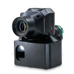
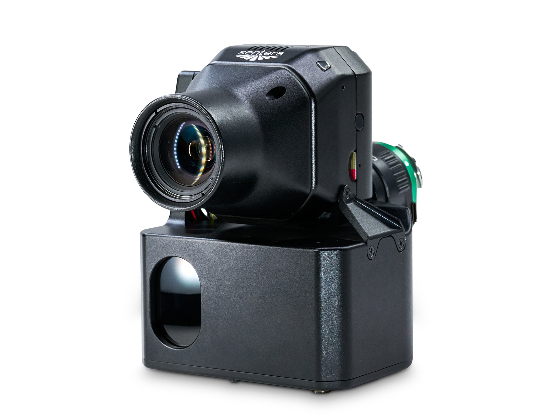
Paired with 65R Sensor- Ultra-High-Resolution Aerial Imagery
The Sentera 65R is the first ultra-high-resolution precision sensor built from the ground up for seamless integration with drone systems, including RTK systems.
More Pixels Per Image, Captured Faster
With a ground sampling distance of 0.45cm/pixel, improve efficiency and reduce errors by capturing more pixels per image; meaning you can capture more ground significantly faster than any other camera on the market.
Purpose-Built For Seamless Drone Integration
Our engineers and technical team built the 65R with one thing in mind: easy integration with drones for ultra-high-resolution aerial image capture to inform critical decisions for survey and mapping use cases.
Optimal Data Output For Your Use Case
From an RGB mosaic to a detailed digital surface model (DSM) and deep analytics, easily generate the data you need for your unique use case, whether for surveying, modeling, or mapping.
Key Specifications
Image Sensor
Gpixel GMAX3265
Resolution: 9344 x 7000
Pixel Size: 3.2 um
Shutter: Global
Lens Options:
| Focal Length | 27 mm (standard) | 43 mm |
| FOV | 57.6° x 44.8° | 38.3° x 29.2° |
| GSD @ 125 ft | 0.45 cm | 0.30 cm |
| GSD @ 400 ft | 1.43 cm | 0.90 cm |
| Camera Size* | 2.50” x 2.48” x 4.19” | 2.50” x 2.78” x 4.55” |
| Camera Weight* Includes Lens | 330 grams | 405 grams |
Power: 9-26V Input, 12W Typical
Frame Rate: 3 FPS
Image Format: JPEG
Storage: 512 GB Internal PCle NVMe
Interfaces
USB-C
Gigabit Ethernet
UART
Digital I/O
· Input Pulse/PWM for Image Capture
· Input Pulse Per Second (PPS) for Time/Position
Sync
· Output Pulse for Image Exposure Sync
Features:
Integrated IMU
Pushbutton Trigger Option