No products in the cart.
Back

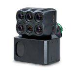
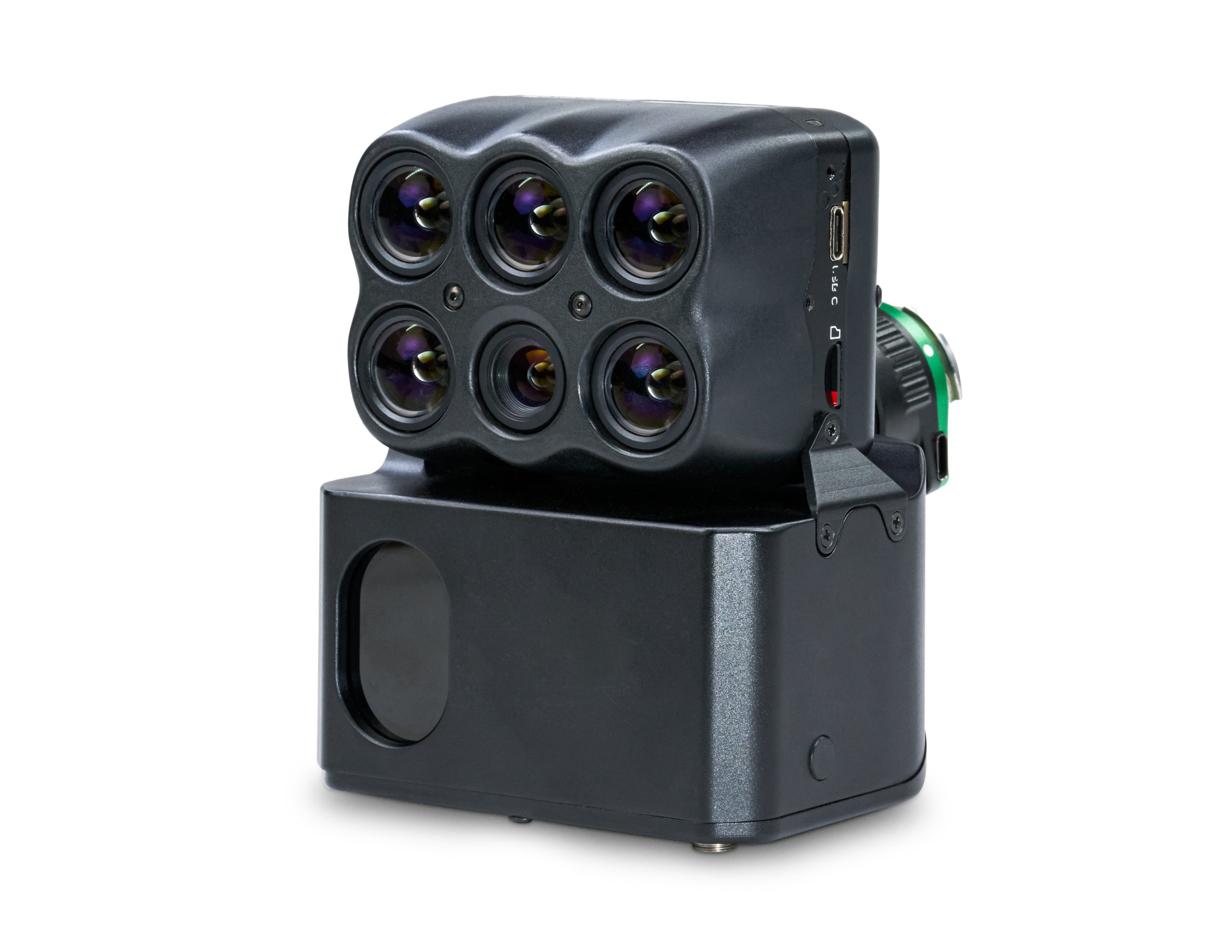
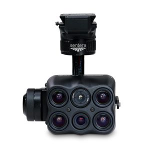
Sentera Direct Georeferencing System (DGR) with 6X/6XT Sensor for M300/M350
Out of stock
Sentera Direct Georeferencing System (DGR) with 6X/6XT Sensor for M300/M350
Direct Georeferencing (DGR) System delivers high-precision location certainty in minutes to create aerial view and multispectral maps — no ground control or stitching needed.
- Decrease flight time by 60%
- Capture 9x fewer images
- Eliminate post-processing
- Get data 5x faster
Contact us for more information
- Description
Leverage Precise Geolocation Technology for 5x Faster Ag Data Delivery
From pre-flight planning to in-the-air image capture to post-processing, the Sentera Direct Georeferencing (DGR) System increases efficiency and reduces total project time by nearly 90% — helping agronomic leaders capture more data, faster so they can focus on data validation and outcomes.
Key Specifications of the DGR System
| ACCURACY | CAMERA SENSOR | COVERAGE |
|---|---|---|
| Dual Antenna RTK GPS: 5cm (2 inches) | 6X: 20 MP RGB +5 Band Multispectral | 440 acres per flight at 120m altitude GSD: RGB = 2.0 cm Monochrome = 5.20cm |
| Inertial Navigation Camera Orientation: 0.5° | 6X Thermal: 20 MP RGB +4 Band Multispectral +320 x 256 LWIR | 220 acres per flight @ 60m altitude GSD: RGB = 1.0 Monochrome = 2.60 cm |
| Laser Rangefinder Distance to Canopy: 1% | 65R: Ultra-high-resolution 65 MP RGB | |
| Geolocation Accuracy at 60m (200 feet): <25cm (10 inches) |
How it Works
-
Get ready for flight.
Instead of defining ground control points, prepare for your flight by quickly connecting the DGR System to the DJI M300 Drone: Add tactical-grade inertial measurements (IMU) and dual RTK GPS functionality) in just a few steps.
-
Fly and capture data.
Because images require 50% less overlap, capture 9x fewer images for analysis. The result? Faster flights – from 45 minutes to less than 20!
-
View and analyze key data.
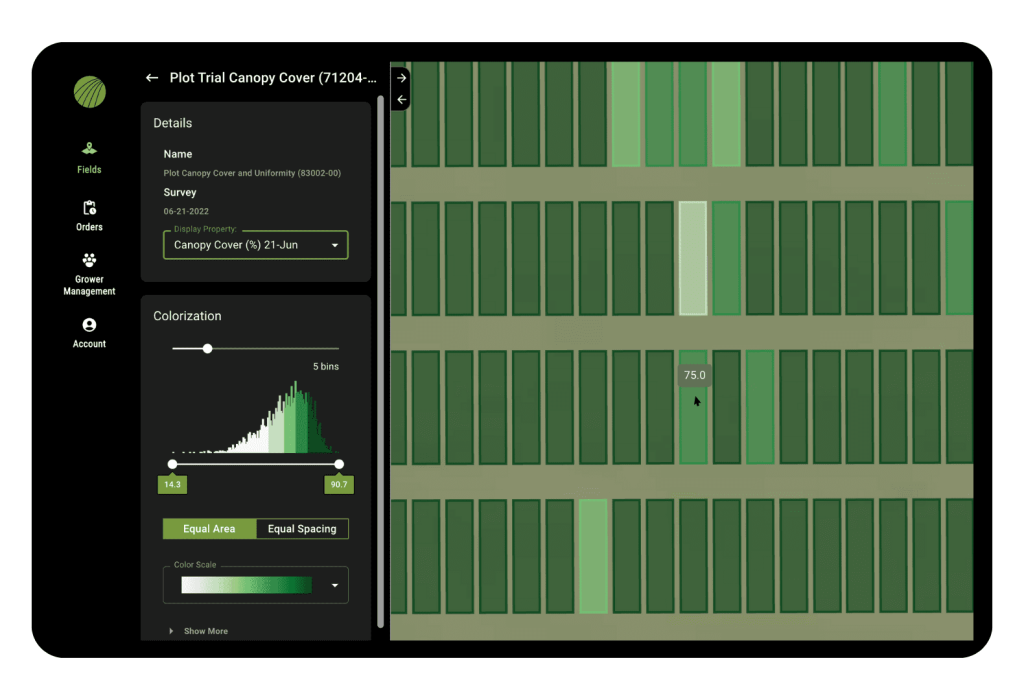
With 5x faster data delivery, focus time on analyzing data and measurements to make faster and more precise critical decisions.
-
Upload data for post-processing.
The Sentera DGR results in absolute location certainty. With an output of spatially accurate maps right at the field’s edge, no need to rely on stitching to create an orthomosaic.
Real World Field Analysis Example
| COVENTIONAL | DGR UPGRADE | |
|---|---|---|
| Acres | 150 | 150 |
| Altitute | 120 M | 120 M |
| Flight Time | 45 min | 17.5 min |
| Image Captures | 1,115 | 129 |
| Data Volume | 29.0 GB | 3.4 GB |
| Post-Processing Time | 5 hrs | 10 min |
| Total Project Time | 6 hrs | 43 min |
Paired with 6X Sensors- Science-grade Multispectral Imagery
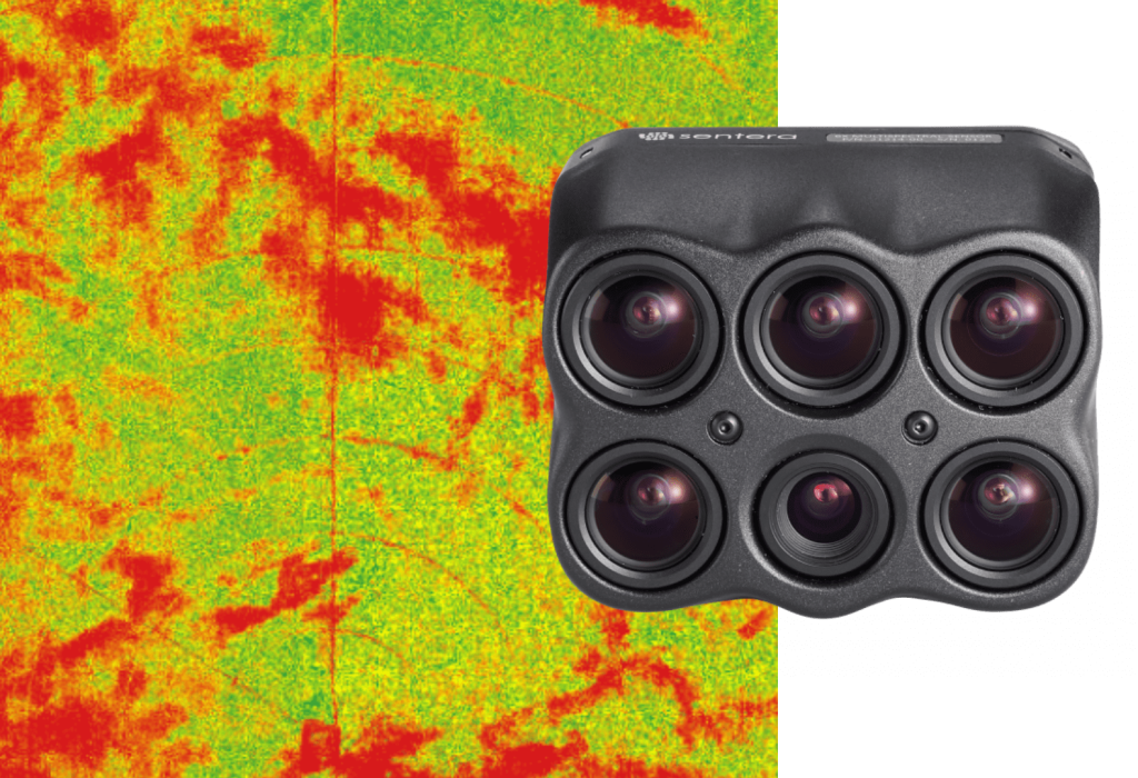
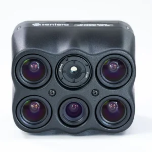
With eight channels of image data, Sentera’s 6X Multispectral and 6X Thermal sensors deliver fast-frame rate performance combined with high radiometric accuracy for more advanced imagery.
More Advanced Imagery With Radiometric Accuracy
Pair with radiometric calibration tools, like Sentera’s Calibrated Reflectance Panel and Light Sensor, to account for lighting varations; meaning you get accurate and reliable imagery.
Plant-By-Plant Measurements, Delivered
From identifying crop health to informing trait selection and product development decisions, the 6X Sensor from Sentera delivers science-grade imagery with eight-channels of data to get insights down to the leaf.
Pixel-Level Temperature Measurement
The 6X Thermal Sensor features a built-in 320 x 256 Boson® thermal sensor to deliver thermal accuracy of ±5°C and accurate thermal maps at a GSD of 17.7cm (7.0″) from 60m (200ft) flight altitude.
Key Specifications of the 6X Sensor
| Size | 3.13” x 2.60” x 2.66” (65mm x 65 mm x 22mm) |
| Weigth | 290 grams |
| Power | 15W |
| Image Format | JPEG, TIFF, RAW | 5 fps Sustained Capture Rate |
| Storage | 512 GB Internal PCle NVMe |
| Interfaces | USB-C | Gigabit Ethernet Optional | Expansion Port |
Spectral Bands
-
- • Blue (475nm center, 30nm bandwidth)
- • Green (550nm center, 20nm bandwidth)
- • Red (670nm center, 30nm bandwidth)
- • Red Edge (715nm center, 10nm bandwidth)
- • Near-IR (840nm center, 20nm bandwidth)
Sensor Resolution & Lens Overview
- 5X 3.2 MP Monochrome Global Shutter
HFOV: 47
GSD @ 200 ft – 1.0” (2.6 cm)
GSD @ 400 ft – 2.0” (5.2 cm) - Spectral Bands
Blue: 475 nm x 30 nm
Green: 550 nm x 20 nm
Red: 670 nm x 30 nm
Red Edge: 715 nm x 10 nm
NIR: 840 nm x 20 nm - 1X 20MP RGB Electronic Rolling Shutter
HFOV: 47
GSD @ 200 ft – 0.4” (1.0 cm)
GSD @ 400 ft – 0.8” (2.0 cm)
Key Specifications of 6XT Sensor
| Size | 3.13” x 2.60” x 2.66” (65mm x 65 mm x 22mm) |
| Weigth | 290 grams |
| Power | 15W |
| Image Format | JPEG, TIFF, RAW | 5 fps Sustained Capture Rate |
| Storage | 512 GB Internal PCle NVMe |
| Interfaces | USB-C | Gigabit Ethernet Optional | Expansion Port |
Spectral Imagers
- Green (550nm center, 20nm bandwidth)
- Red (670nm center, 30nm bandwidth)
- Red Edge (715nm center, 10nm bandwidth)
- Near-IR (840nm center, 20nm bandwidth)
Thermal Imager
- 8,000nm~14,000nm
Sensor Resolution & Lens Overview
- 4X 3.2 MP Monochrome Global Shutter
HFOV: 47
GSD @ 200 ft – 1.0” (2.6 cm)
GSD @ 400 ft – 2.0” (5.2 cm) - Spectral Bands
Green: 550 nm x 20 nm
Red: 670 nm x 30 nm
Red Edge: 715 nm x 10 nm
NIR: 840 nm x 20 nm - 1X 20 MP RGB Electronic Rolling Shutter- Sony IMX147
HFOV: 47
GSD @ 200 ft – 0.4” (1.0 cm)
GSD @ 400 ft – 0.8” (2.0 cm) - 1X FLIR Boson 320 x 256 LWIR, Radiometric
HFOV: 47
Thermal Accuracy: +/- 5 C
Thermal Sensitivity: <50mK
GSD @ 200 ft – 7.0” (17.7 cm)
GSD @ 400 ft – 13.9” (35.5 cm)


