Survey and Mapping Training Course
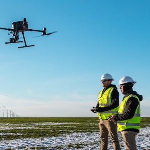
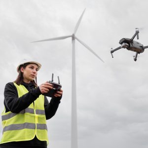
Experience the future of surveying and mapping with drones that offer unparalleled accuracy. Revolutionize your approach to surveying, saving time, effort, and resources.
-
Description
The survey and mapping are a process which came from traditional method[1]ology, and it took long time duration and consisted with accuracy issues in the past decades. Since the invention of Drones, the initial aspect covered was the survey and mapping of lands. Nowadays, Drone technology has developed to its ultimate state and many of the construction, environmental, mining, city planning organizations immensely benefited by this survey and mapping technology. In fact, millimeter level accuracy can be obtained with the RTK technology, and it did not exist ever before.
Duration: 2 Days
Survey & Mapping Industries
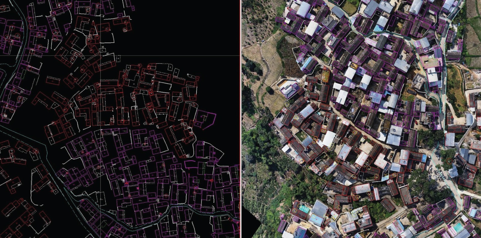
- Land Survey and Mapping
- Building Mapping
- Mining Survey and Mapping
- Construction Project Survey and Mapping
Equipment & Software to be used: DJI Matrice 350 RTK with Zenmuse P1
Survey & Mapping Image processing Software: DJI Terra & Arc GIS Drone2Map
Survey & Mapping Image Display Software: ArcGIS Pro, ArcGIS, ArcGIS Online & QGIS
Certification: To be provided upon successful completion of the training.