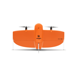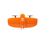
WingtraOne Mapping Drone
WingtraOne Mapping Drone empowers you to minimize your time flying and get more work done, be it another project in the field or analyzing your data at the office.
-
Description
Intro
WingtraOne Mapping Drone empowers you to minimize your time flying and get more work done, be it another project in the field or analyzing your data at the office.
WingtraOne Mapping Drone
Redefining standards in aerial surveying
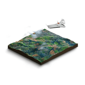
As part of providing ideal mapping drone solutions, the WingtraOne VTOL mapping drone is capable of performing fast aerial surveys across wide or hard-to-reach areas and producing reliable maps with unparalleled resolution and accuracy.
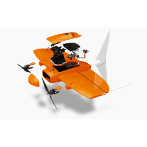
For mapping drone solutions, WingtraOne drone comes equipped with a choice of Sony high-resolution mapping cameras or a professional multispectral camera by Micasense. Cameras can easily be exchanged in the field, making the same drone suitable for different applications. Using the intuitive flight planning software and the fully autonomous flying operations, surveyors can capture geo-tagged aerial images with virtually no piloting skills.
WingtraOne’s drone image outputs can be processed by all major photogrammetry software to create highly-accurate orthomosaics and 3D models.
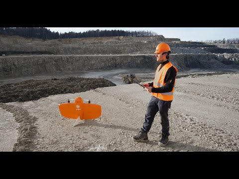
Take-off and land anywhere
Confined forest areas or gravel open-pit mine terrain are no longer obstacles. WingtraOne can land everywhere, smoothly.
Manual adjustments and hover
While all parts of the flight are autonomous, at any time, you can switch into manual mode and use the remote control as easily as with any standard quadcopter drone.
No belly landings
Up to 70 percent of fixed-wing survey drone issues are related to belly landings. Avoid them with a vertical landing.
No piloting skills needed
Fully autonomous vertical take-off and landing without human interaction.
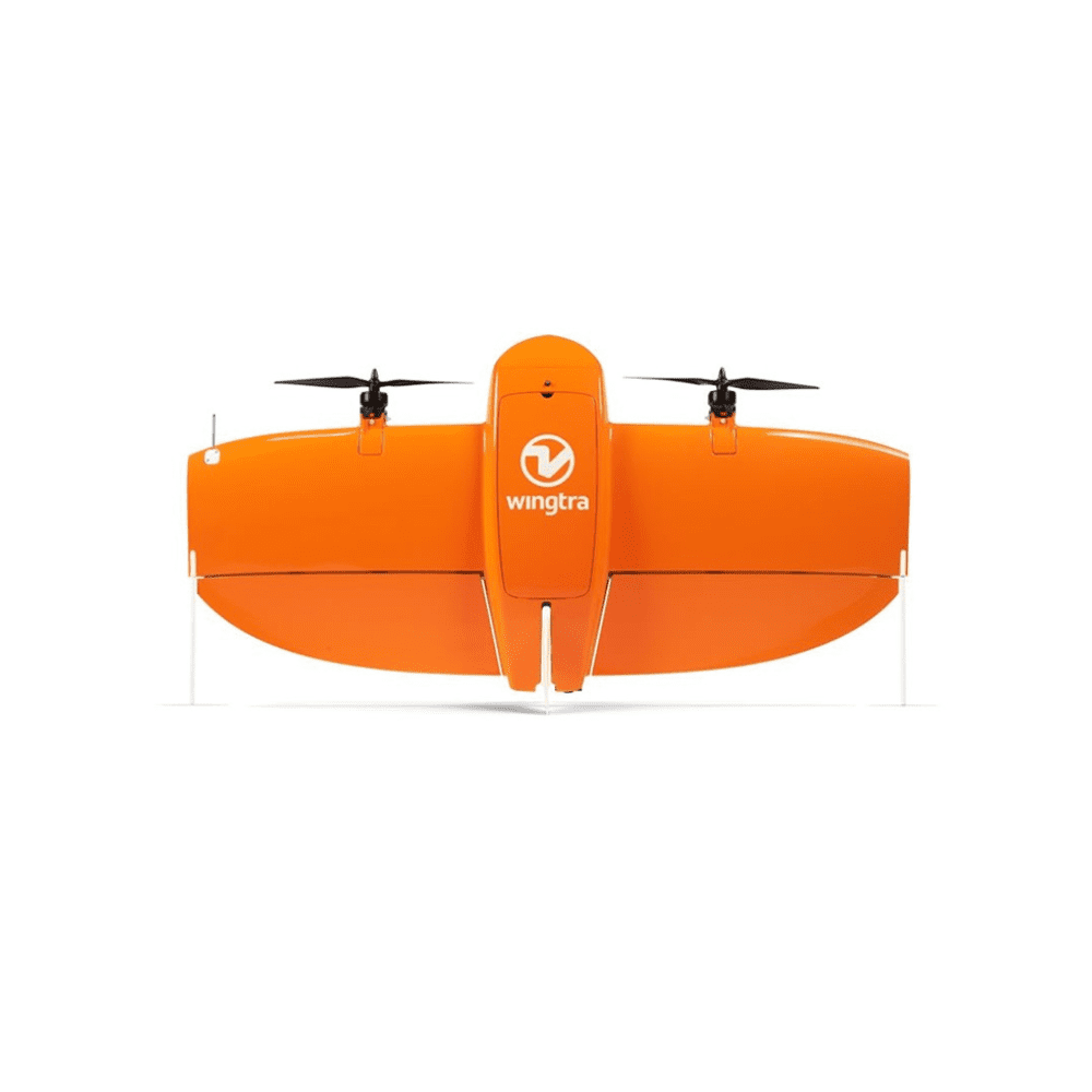
Vertical take-off and landing (vtol) with WingtraOne Mapping Drone
Take off and land like a helicopter, fly like an airplane
Vertical take-off and landing (VTOL) capability allows the WingtraOne mapping drone to ascend and move like a helicopter. For the drone mapping, it transitions into a forward cruise flight, matching the endurance and speed of fixed-wing survey drones. In order to land, the WingtraOne switches back to hover flight and descends vertically.
Multicopters
Coverage: 8 ha (20 ac)
GSD: 1.2 cm/px (0.5 in/px)
Altitude: 44 m (144 ft)
Other fixed-wing drones
Coverage: 70 ha (173 ac)
GSD: 1.2 cm/px (0.5 in/px)
Altitude: 57 m (187 ft)
WingtraOne RX1R II
Coverage: 110 ha (272 ac)
GSD: 1.2 cm/px (0.5 in/px)
Altitude: 93 m (305 ft)
Minimize your time in the field
In one flight, WingtraOne can map almost 2x more than a conventional fixed-wing drone and approximately 10 to 15x more than multicopter drones
Highest image quality
From a full-frame 42 MP RGB to specialty cameras, WingtraOne guarantees the best image quality across different applications.
Modular payloads
Switch quickly between the camera of your choice. From ultra-high resolution RGB to an industry-leading multispectral.
Down to 1 cm (0.4 in) absolute accuracy
Combine VTOL, the powerful Sony RX1RII 42 MP full-frame and a PPK module from Septentrio, and you get accuracy that was previously only possible with land survey equipment. With the more affordable Sony QX1 PPK bundle, you get industry standard down to 3 cm (1.2 in) absolute accuracy.
Absolute accuracy without GCPs
GCPs are no longer needed to get highly-accurate results. To verify your results’ accuracy, place as few as three on the field and use them as checkpoints.