As we stand by the shore, entranced by the rhythmic ebb and flow of the ocean’s waves or the tranquil allure of a picturesque lake, it’s easy to lose ourselves in the mesmerizing beauty that stretches endlessly before us. Yet, amidst this surface tranquility, lies an enigmatic realm largely unseen and vastly unexplored. Beneath the shimmering veneer of the waters, a hidden world flourishes—a realm adorned with submerged valleys, towering underwater mountains, and meandering canyons that weave a tapestry of secrets waiting to be unveiled.
But how do we venture into this mysterious abyss, where light dims and the depths conceal their treasures? Herein lies the pivotal role of bathymetric surveys, the unsung heroes of underwater exploration, guiding us into the profound realms beneath the waves with meticulous precision and unwavering dedication.
What Are Bathymetric Surveys?
Bathymetric surveys, also referred to as fathometric surveys, represent a specialized and intricate discipline dedicated to unraveling the mysteries hidden beneath the waves. These meticulous studies employ a myriad of sophisticated technologies and methodologies to meticulously map the depths and contours of the underwater terrain, offering a comprehensive insight into the intricate landscapes concealed beneath the aquatic veil.
These surveys serve as invaluable repositories of knowledge, providing critical information regarding the morphology of various water bodies, ranging from the expansive stretches of the ocean floor to the sinuous pathways of river channels, the tranquil depths of lakes, and the brackish embrace of estuaries. By meticulously charting the undulating topography of these submerged realms, bathymetric surveys unravel the secrets of the aquatic world, shedding light on its complex formations and unveiling its hidden wonders.
But why do we need them, one might wonder? The answer lies in their multifaceted significance and profound implications across various domains. From facilitating scientific research endeavors and informing marine construction projects to safeguarding navigational safety and conducting environmental impact assessments, the indispensable role of bathymetric surveys reverberates far and wide, shaping our understanding of the aquatic environment and guiding our interactions with it.
The Purpose and Scope
1. Mapping the Unseen: Bathymetric surveys allow us to create detailed maps of underwater landscapes. Whether it’s for scientific research, marine construction, or environmental assessments, understanding the topography below the water’s surface is essential.
2. Navigational Safety: Mariners, fishermen, and coastal engineers rely on accurate bathymetric data to navigate safely. Knowing where shallow areas, reefs, or submerged hazards exist helps prevent accidents.
3. Environmental Impact Studies: Before any major construction project (such as building offshore wind farms or laying undersea cables), bathymetric surveys assess the impact on the environment. They reveal critical habitats, sediment distribution, and potential risks.
How Does the EchoLogger ECT 400S Fit In?
Delving deeper into the realm of underwater exploration, one encounters a pivotal question: how do we equip ourselves to navigate the intricate landscapes that lie beneath the surface? Enter the EchoLogger ECT 400S, a beacon of technological ingenuity purposefully crafted to unravel the mysteries of the deep. As we embark on a journey to fathom the depths of submerged valleys, hidden canyons, and oceanic expanses, the EchoLogger ECT 400S emerges as a cornerstone of precision and reliability, seamlessly integrating into our endeavors to chart the uncharted and illuminate the obscured realms that dwell beneath the waves.
1. Precision Depth Measurement
- The EchoLogger ECT 400S is purpose-built for underwater depth measurement. Its single-frequency acoustic technology operates at 450 kHz, allowing it to accurately gauge depths from 0.15 meters to 100 meters.
- Whether you’re mapping the ocean floor, assessing river channels, or studying lake basins, precise depth data is essential. The ECT 400S delivers just that.
2. Tilt and Temperature Sensor
- Bathymetric surveys aren’t just about depth; they’re about understanding the underwater landscape. The ECT 400S comes equipped with a tilt sensor.
- Why is this important? It ensures that the echo sounder maintains the correct orientation even when the drone or vessel tilts. Accurate data, no matter the angle!
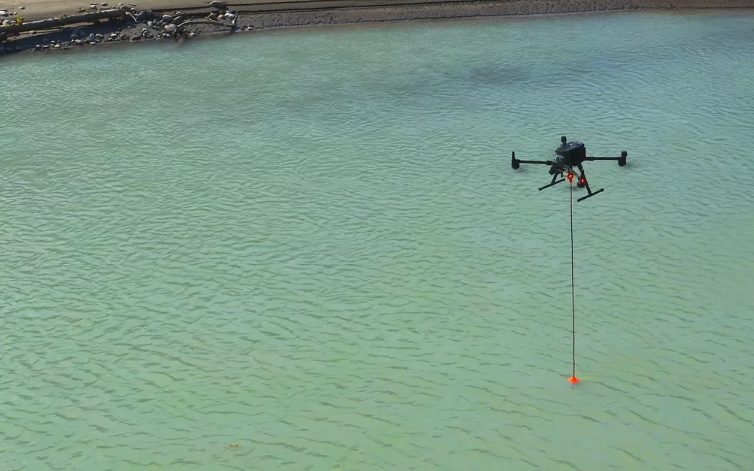
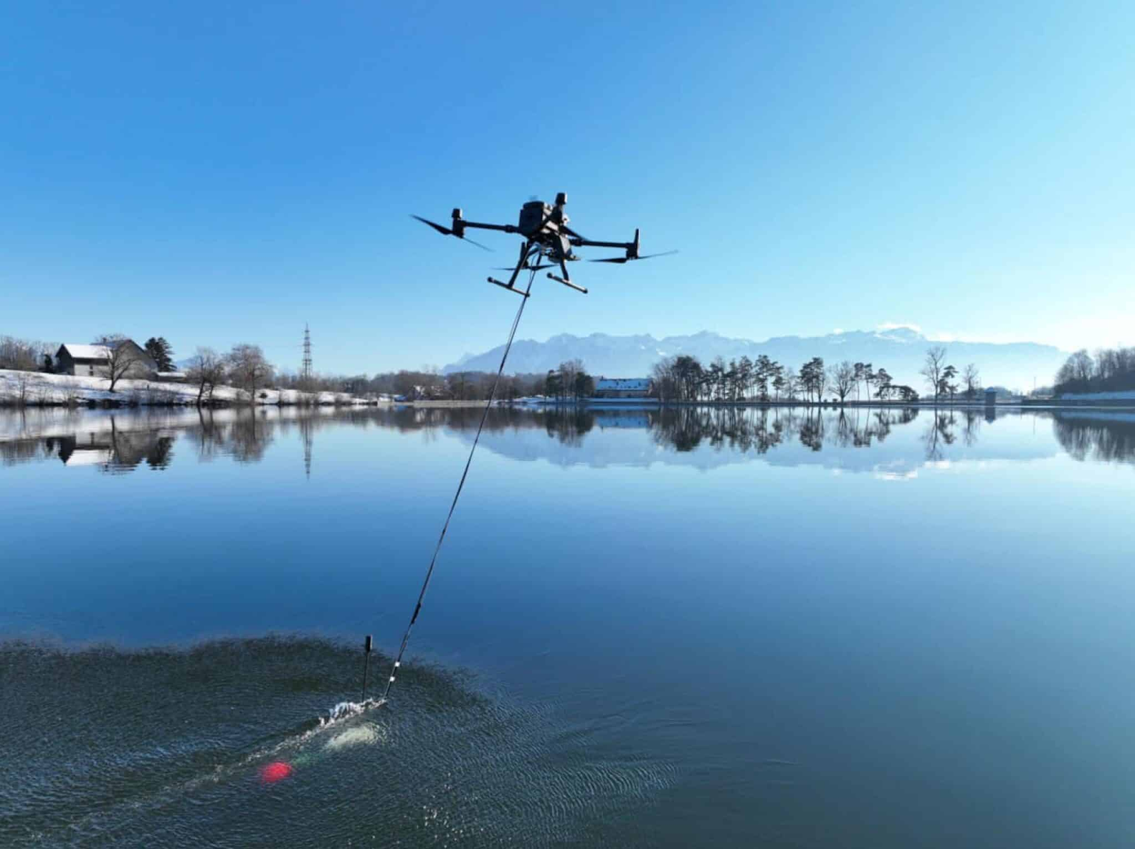
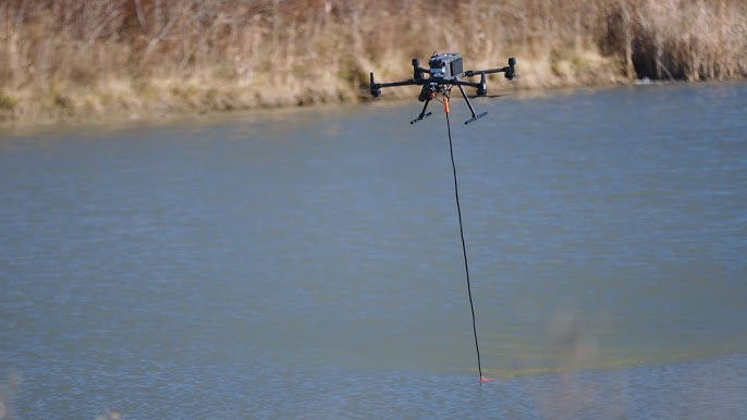
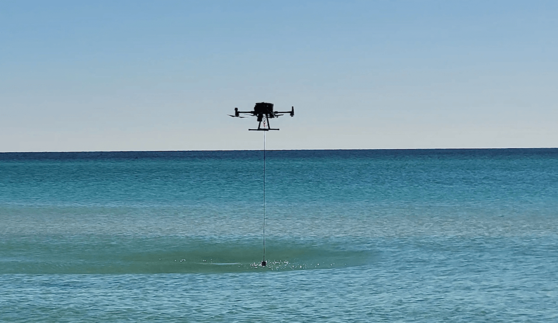
3. Seamless Integration with Drones
- The ECT 400S is designed to work seamlessly with popular DJI drones like the M350 RTK, M300 RTK, and M600 Pro.
- By mounting the echo sounder on these drones, you can cover large areas efficiently. Imagine surveying an entire coastline or assessing a vast reservoir—all from the sky.
4. Mapping the Unknown
- Imagine flying your drone over a pristine lake, capturing data points as the echo sounder sends pulses of sound waves downward.
- The ECT 400S creates a detailed bathymetric map, revealing underwater features like submerged ridges, depressions, and even shipwrecks.
- This information is invaluable for environmental impact assessments, habitat preservation, and coastal planning.
5. Beyond Bathymetry
- While bathymetry focuses on water depths, sometimes we need a holistic view. That’s where topographic mapping comes in.
- By combining bathymetric data with land elevation information, you get a comprehensive picture of the entire area—both above and below the waterline.
CONCLUSION
As we stand in awe by the shore, marveling at the boundless expanse of the sea, it is imperative to acknowledge the profound depths that lie concealed beneath its shimmering surface. The EchoLogger ECT 400S Echo Sounder, alongside the tireless efforts of bathymetric surveys, serves as our guiding beacon into this enigmatic realm. Together, they offer us the tools and insights needed to embark on a journey of exploration and discovery, peeling back the layers of mystery that shroud the underwater world. With each precise depth measurement and meticulous mapping, we inch closer to unraveling the secrets that have long eluded us. So, as we stand on the threshold of discovery, let us not shy away from the challenge but instead embrace it with fervor and determination. Let us set sail upon the vast expanse of the ocean, or take flight above its surface, as we chart the unknown depths and unlock the wonders that await beneath the waves. For it is through these endeavors that we illuminate the darkness of the deep, enriching our understanding of the world and fostering a profound connection with the hidden landscapes that lie beneath.