Back

Out of stock
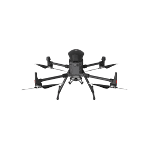
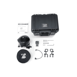
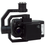
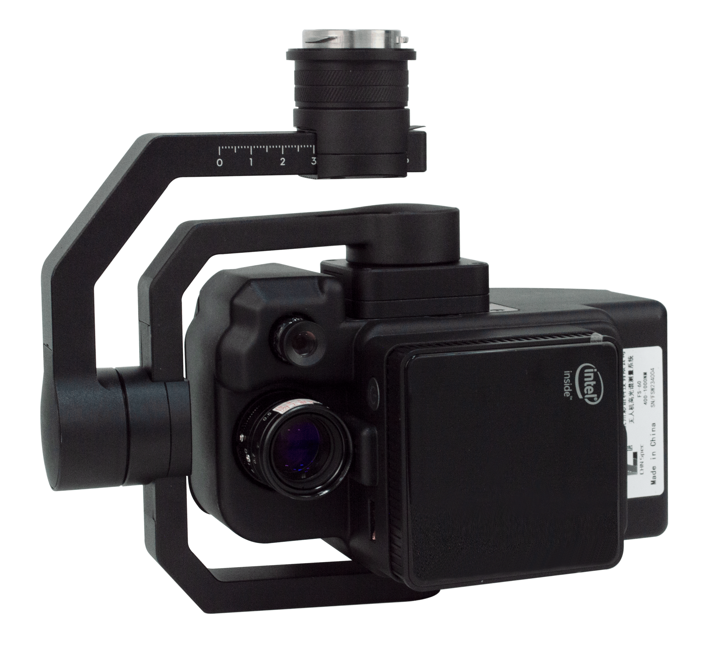
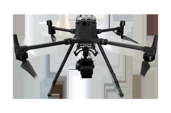
FS-60C Hyperspectral Camera
- Compatible with DJI Matrice 350 RTK
- 400-1000nm Spectral Range
- 1200 Number of Spectral Channels
- Imaging Speed: Full Band 128Hz, after ROI can achieve 3300Hz
- 2.5nm Spectral Resolution/ Half Wave Width
Contact us for more information
-
Description
KEY FEATURES
- DJI M350RTK is used as the flight bearing platform.
- Ultra-high speed spectral scanning imaging device with high signal-to-noise ratio provides high stability spectral image acquisition.
- The self-developed image processing algorithm with high efficiency and low power consumption can greatly prolong the flight time and reduce the power consumption of the system.
- Through real-time measurement of spectral image information of plants, water bodies, soil and other ground objects, application and precision agriculture, crop growth and yield assessment, forest pest monitoring and fire prevention monitoring, coastline and Marine environment monitoring, lake and watershed environmental monitoring and other applications.
- Compact system design, imaging spectrometer host spectral resolution up to 2.5nm.
- The whole machine consists of: high stability head, hyperspectral imager, embedded data acquisition, processing and storage unit, wireless image transmission system, GPS-RTK navigation system, ground receiving workstation, ground control system, reflectivity calibration board.
PARAMETERS
| Lighting Mode | Passive Lighting (without light source) |
| Spectroscopic Method | Transmission Grating |
| Spectral Range | 400-1000nm |
| Spectral Band | 1200 |
| Spectral Resolution (FWHM) | 2.5 nm |
| Slit Width | 25um |
| Transmission Efficiency | > 60% |
| Stray Light | < 0.5% |
| Number of Spatial Pixels | Max. 1920 (software configurable) |
| Pixel Size | 5.86 um |
| Imaging Speed | Full band 128Hz, after ROI can achieve 3300Hz |
| Probe | CMOS |
| Signal-To-Noise Ratio | 600/1 |
| Camera Output | USB3.0 or Gigabit Network |
| Camera Interface | C-Mount |
| Attachment | USB3.0 or Gigabit network |
| ROI | Multiple Regions |
| Embedded Data Acquisition Processing Storage Unit | Embedded Processor 512GSSD Storage |
| Dimension | 20.5 cmx18.5 cmx12.9 cm |
| Weight | 1200g |
| Power Dissipation | 40W |
- Easy to operate, no need for professional drone operator, can achieve single operation.
- The ground station can observe the sampling site of the aircraft in real time and set the preview and correction functions of the route data collected point by point by using the ground station: radiometric correction, reflectivity correction, and area correction support batch processing.
- Real-time common vegetation index calculation function.
- Support custom real-time analysis model input function.
- ENVI is perfectly compatible with multiple data formats.
Related products
-
-
CZI MP130 PRO Digital Voice Broadcasting System
AED4,035.00 VAT Excl