No products in the cart.
Back
Out of stock
Swan-K1 Mapping II
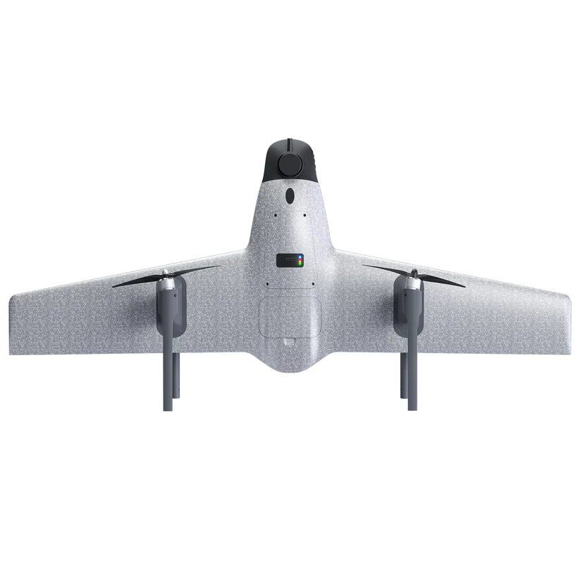
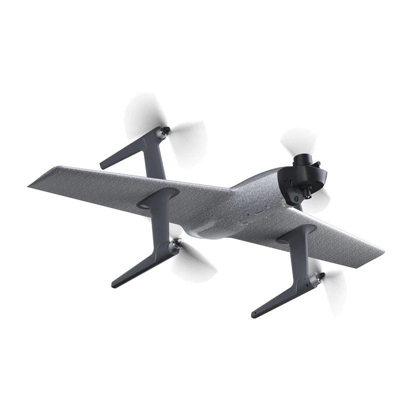
The Swan-K1 mapping is a Small Vtol UAV for surveying and mapping fixed-wing UAV that can take off and land vertically as well as switch flight modes with one button. It adopts no rudder surface control technology, which brings users a minimalist control experience . The most important is it could get centimeter-accurate Map without GCPs (ground control points), which truly achieves GCPs-free control measurement.
Swan-K1 mapping has the advantages of lightweight, portable, convenient disassembly and installation, single-person operation, long battery life, etc advantages. It can be used in surveying and mapping, measurement, remote inspection, power inspection, urban planning, energy projects, and road construction projects, Mine surveying and other industries.
Contact us for more information
- Description
Key Features
- 1-hour Flight Time
- 24MP High Resolution
- Centimeter Accuracy
- 2-9 square kilometers per flight
- PPK Module , easy to handle
Aircraft Parameters
| Wingspan | 1.1m |
| Empty Aircraft Weight | 1.12kg |
| Flight Duration | 50-60 minutes |
| Flight Speed | 10m/s-25m/s |
| Range | 35-40km |
| Max Take-off Weight | 1.75kg |
| Max Flight Altitude | 500m |
| Wind Resistance Level | Level 5 |
| Image Transmission Distance | 3-4km (unobstructed) |
| Remote Control Frequency | 2.400-2.483GHz |
| Image Transmission Resolution | High Definition |
| Package Dimension | 580mm x 470mm x 202mm |
Camera Parameters
| Dimensions | 75x65x90mm |
| Effective Pixels | 24.3 Million Pixels |
| Camera Format | APS Format Camera |
PPK Module
| GNSS | BDS B11/B21/B31; GLONASS L1/L2 QZSS L1/L2/L5; Galilea E1/E5a/E5b GPS L1C/A/L2P(Y/L2C/L5) |
| Data Storage Space | 6GB |
| Data Format | RINEX |
| Horizontal Accuracy | 0.8 cm + 1 ppm |
| Vertical Accuracy | 1.5 cm + 1 ppm |
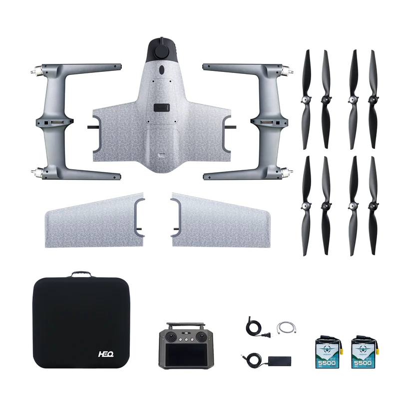
In the Box
1 x Swan-K1 Aircraft
1 x Custom 24 Mega pixels SONY camera
2 x Set of quick detachable nylon propellers
1 x Radio Controller (with screen)
1 x Carry Case
2 x 5500mAh 15.2V Lipo Battery
1 x Power Charger
1 x Aircraft User Manual and Disclaimer
1 x PPK Module (Dual frequency)


