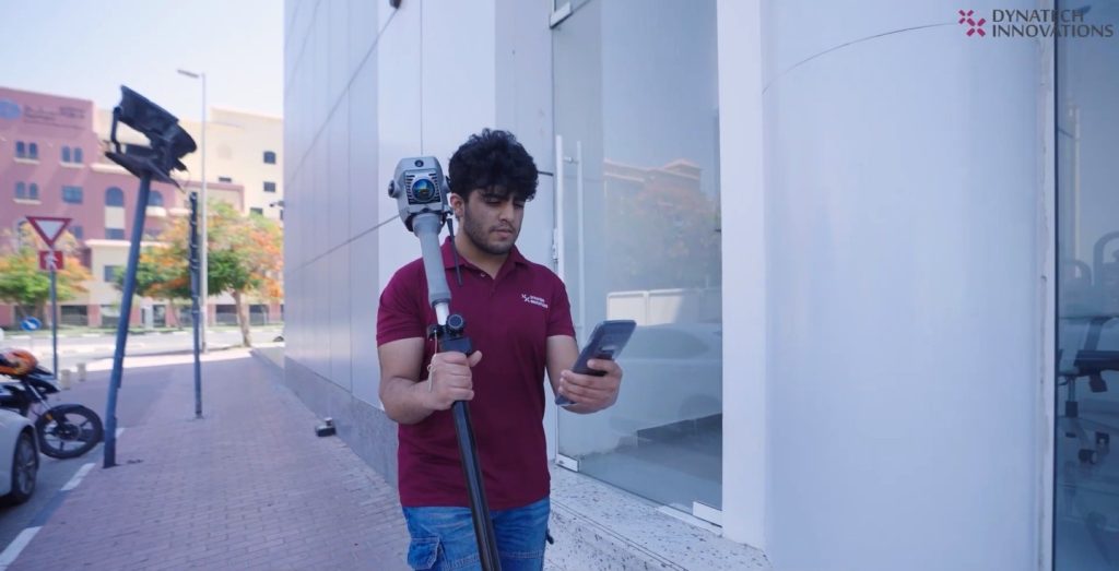
For years, the gold standard in surveying has been a compromise between speed, safety, and data fidelity. To fly high was to sacrifice detail; to gain penetration meant flying low. Now, the compromise is gone.
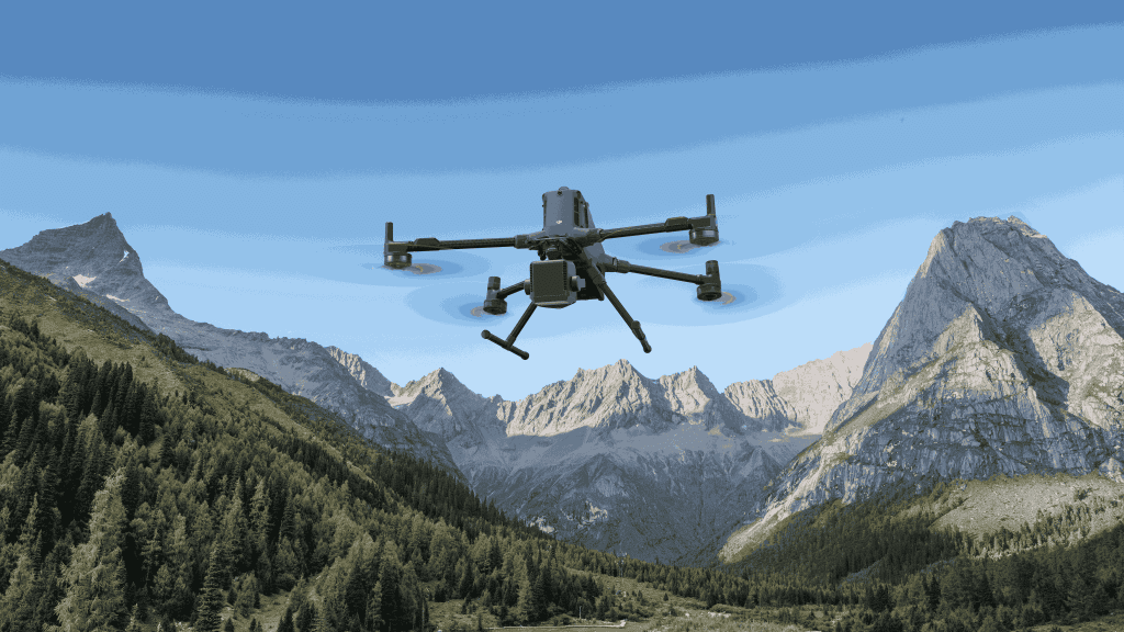
The Zenmuse L3 does not just improve aerial mapping; it launches it into the next frontier. This integrated system is built to maximize the power of enterprise drones like the DJI Matrice 400, giving operators a long-range LiDAR that can truly see through dense terrain. This is more than just a powerful sensor package; it is the tool that transforms project feasibility, allowing your team to move from small-scale site surveys to massive infrastructure or corridor mapping at speeds previously considered science fiction.

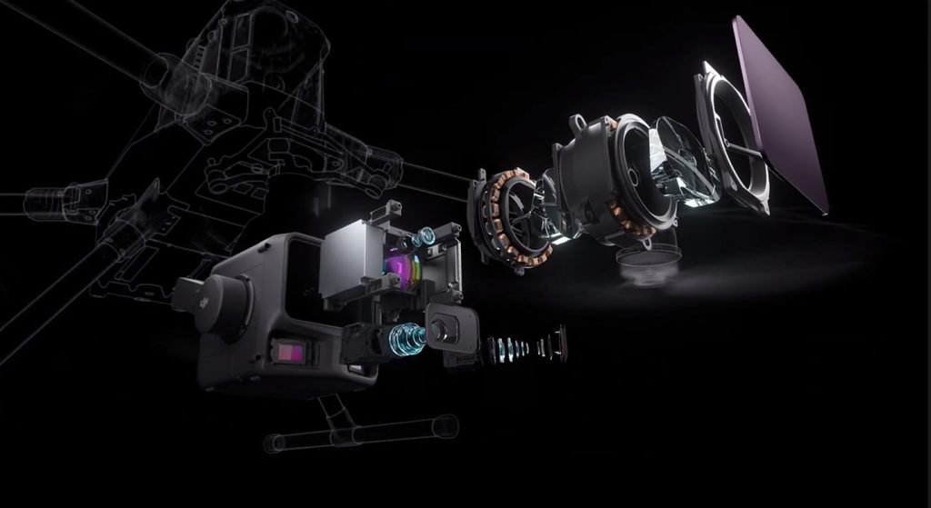
Hardware Power: Precision from the Stratosphere
At the core of the Zenmuse L3 lies a 1535 nm LiDAR sensor built for accuracy and endurance. Its maximum detection range reaches 950 m (at 10% reflectivity, 100 kHz pulse rate), enabling efficient flights at altitudes of 300–500m AGL while maintaining high-density point clouds.
The laser beam divergence of 0.25 mrad (1/e²) produces a narrow, focused footprint—minimizing noise and increasing detail for power-line, vegetation, and surface mapping.
- Accurate Detection: The micro precision ensures accurate detection of small objects like thin power lines or distant tree branches, even when capturing data from hundreds of meters away.
- Deep Penetration: The resulting high energy density gives the laser superior power for exceptional ground penetration. This capability is vital for generating dense points beneath heavy tree canopies, allowing for perfect, clean Digital Terrain Model (DTM) generation with minimal manual effort.
Seeing Further, Working Smarter: Visual and Operational Power Combined
High-performance mapping depends on how clearly you see and how efficiently you work. The Zenmuse L3 delivers both through advanced imaging, precision LiDAR, and an optimized workflow for enterprise operations.
High-Fidelity Vision with Dual 100MP Cameras
Each 100-megapixel RGB mapping camera captures vivid color and texture, combining into a 107° effective field of view.
Approximate resolution is ≈11,600 × 8,700 pixels, producing visually rich, distortion-free imagery via a global shutter.
Color registration accuracy improves to ±3 cm, enabling natural-color point cloud colorization with minimal parallax error.
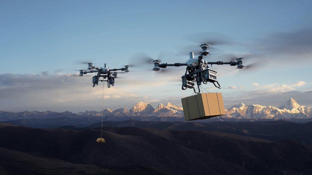
A Productivity Breakthrough with the Matrice 400
Mounted on the DJI Matrice 400 RTK, the L3 benefits from up to 55 minutes of flight time and 20 km transmission range, ideal for large-area coverage. Under optimal conditions, operators can map up to 100 km² per day. With the L3’s improved efficiency end point rate of up to 2 million points per second, fewer flight lines are needed, cutting both time and cost.
End-to-End Workflow: From Capture to Insight
Captured data flows directly into DJI Terra, which automatically performs:
- Point cloud alignment and georeferencing
- True-color point cloud generation
- DSM/DTM/orthophoto exports in standard formats (LAS, PLY, PNTS, etc.)
Processing times can drop by nearly 50% compared to older workflows, allowing teams to focus on analysis rather than data management.
Evolution in Focus: From L2 to L3
Each generation of technology builds on the last, but some advancements redefine workflows. The Zenmuse L2 established a strong foundation for precision LiDAR, showing that compact aerial systems could achieve survey-grade results. The Zenmuse L3 expands this foundation with higher altitude, longer range, and richer visual data.
While the L2 focused on accessibility and moderate-altitude precision, the L3 enables large-scale operations previously reserved for heavy, multi-sensor systems. This evolution reflects a shift in how surveyors, engineers, and infrastructure teams approach complex projects. A side-by-side comparison highlights the advancements and new capabilities.
Zenmuse L2 vs Zenmuse L3: A Generation Apart
| Feature | Zenmuse L2 | Zenmuse L3 |
| Laser Type | 905 nm | 1535 nm |
| Maximum Detection Range | 450 m @ 50% reflectivity | 950 m @ 10% reflectivity |
| Recommended Flight Altitude | 150–200 m | 300–500 m |
| Beam Divergence | 0.3 mrad | 0.25 mrad |
| Point Rate | 1.2 M pts/s (max) | 2 M pts/s (max) |
| Point Accuracy | ±4 cm (vertical) / ±5 cm (horizontal) | Vertical < 3 cm @ 120 m, < 5 cm @ 300 m, < 10 cm @ 500 m |
| IMU Accuracy | High-precision 200 Hz IMU | Upgraded 200 Hz IMU with improved stabilization |
| Camera System | Single 20 MP RGB camera | Dual 100 MP RGB cameras |
| Colorization Accuracy | ±5 cm typical | ±3 cm typical |
| Field of View (Camera) | 84° | Wider effective coverage with dual capture |
| Daily Coverage | Up to 50 km² | Up to 100 km² |
| Compatible Platform | M300/M350/M400 | Matrice 400 RTK |
| Workflow Integration | DJI Terra | DJI Terra (optimized for L3) |
| Ideal Applications | Site surveys, forestry, slope monitoring | Large-scale mapping, corridor surveys, infrastructure inspection |
The Zenmuse L2 remains a highly capable mapping solution for precision work at moderate altitudes. However, the Zenmuse L3 extends those capabilities dramatically, combining long-range LiDAR performance, dual 100MP imaging, and efficient workflows that redefine what can be accomplished in a single day. For teams scaling from local site mapping to regional or infrastructure-scale projects, the L3 represents a leap into true enterprise-grade aerial surveying.
Real-World Applications: Turning Capability into Impact
The Zenmuse L3 is more than an upgrade on paper; it is a field-ready tool that turns technical specifications into real-world advantages. With its 950-meter range and dual 100MP RGB cameras, the L3 enables teams to capture more data in less time while maintaining survey-grade accuracy across a variety of industries.
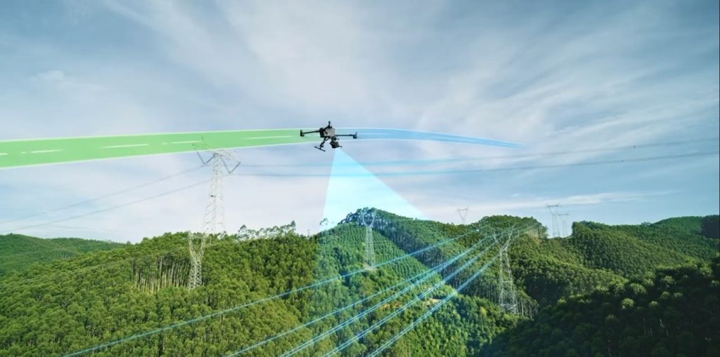
Corridor Mapping and Utility Inspection
For linear infrastructure such as power lines, pipelines, and railways, the L3 is indispensable. Its long detection range allows operators to fly at safe altitudes while covering large distances rapidly. The highly focused laser beam detects even small objects, including overhead wires and insulators, minimizing the need for low-altitude passes and speeding up inspection cycles.
Disaster Response and Emergency Services
In floods, landslides, or earthquakes, rapid data acquisition is critical. The L3 can quickly generate precise, three-dimensional models of affected areas. This allows responders to assess damage, identify hazards, and plan safe search and rescue operations in otherwise inaccessible zones.
Forestry and Environmental Management
Dense forests no longer obstruct accurate surveys. The L3’s superior ground penetration captures high-density points beneath heavy canopies, enabling precise biomass calculations and reliable digital terrain models. This is essential for hydrology studies, forest health monitoring, and resource management.
Large-Scale Surveying and Construction
For projects spanning thousands of acres, speed and precision define feasibility. The L3 covers up to 100 km² daily, producing high-fidelity point clouds for earthwork calculations and progress monitoring. Teams can create frequent digital twins to track site development, ensuring projects stay on schedule and within budget.
Across all these applications, the Zenmuse L3 combines range, accuracy, and efficiency, transforming complex mapping challenges into actionable insights and making large-scale surveying faster, safer, and more reliable.
Mapping the Next Frontier
The Zenmuse L3 marks a major step forward in aerial LiDAR. With its long-range 1535 nm laser, dual 100 MP imaging, and optimized DJI Terra workflow, it lets professionals fly higher, cover more, and still achieve survey-grade precision once limited to low-altitude or crewed surveys.
From infrastructure monitoring to environmental mapping, the L3 turns vast terrain into actionable insight—faster, safer, and more reliable than ever.
📩 Experience the future of aerial LiDAR. Connect with Dynatech Innovations today to learn how the new Zenmuse L3 can elevate your mapping capabilities and redefine what’s possible in your aerial missions.