-
1× $9,395.04
Subtotal: $9,395.04
Subtotal: $9,395.04

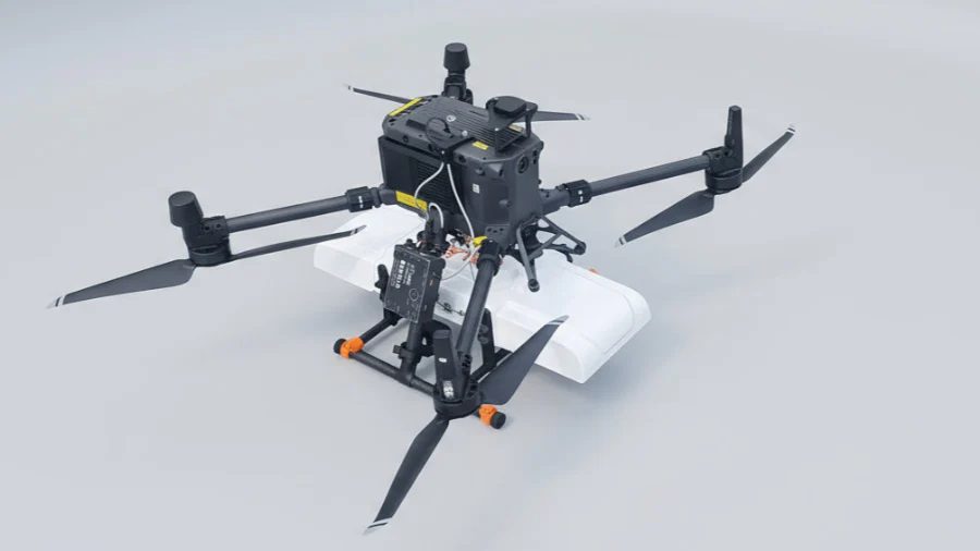
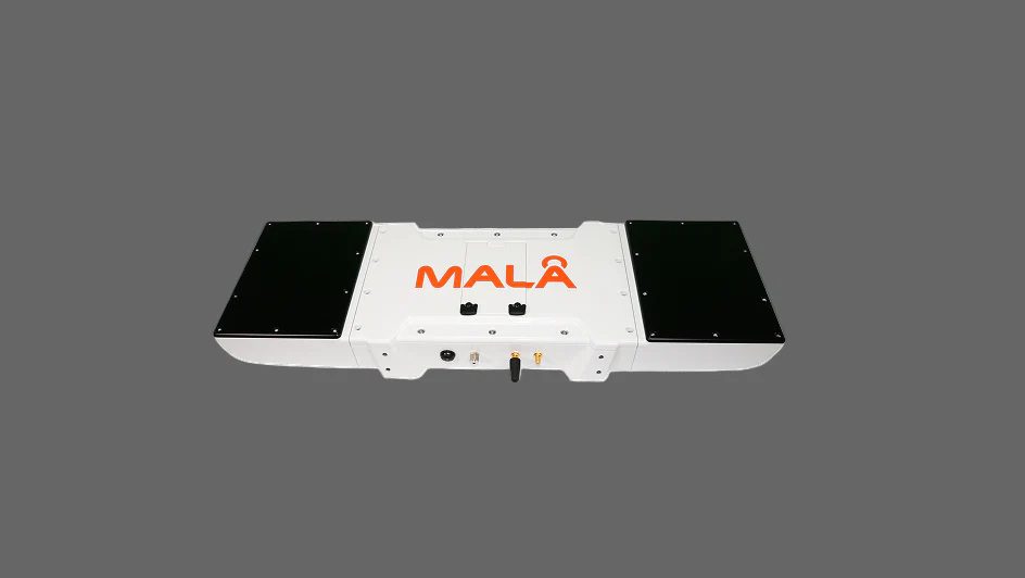


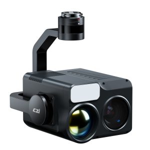
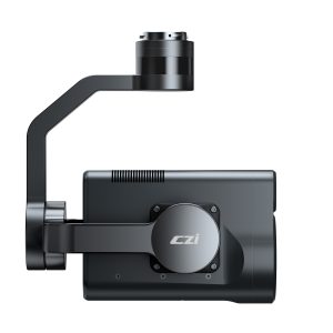
The MALÅ GeoDrone 600 is an airborne GPR system designed especially for the drones. The MALÅ GeoDrone utilizes the latest GPR HDR technology from Guideline Geo.
GeoDrone 600 is suitable for medium-sized drones like DJI M400, and M350/M300 RTK.
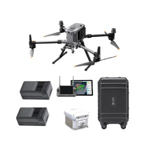
Please note that additional components and software must be ordered to use this GPR with drones. It is recommended to order a complete set. Please ask for the quote.
The GeoDrone 600 is equipped with a built-in data logger and a GNSS antenna port. A basic GNSS antenna is included, but we recommend replacing it with a high-quality helical antenna.
| Type | Single-channel with shielded antenna |
| Sampling | Real Time Sampling (RTS), MALÅ HDR technology |
| Samples per scan | Up to 1213 samples per trace, fully customizable by user |
| Sample rate | 7680 MHz |
| Scan rate | not specified |
| Sample output | 32 bit |
| Time range per sample | Maximum time window is up to 1200 ns, fully customizable by user |
| Depth | Up to 4 meters in average normal soil with 100ns time range |
| Data | MALÅ’s proprietary data format, but it is supported by various processing software |
| Environmental | |
| Temperature | -20°C to 50°C |
| Humidity | not specified |
| Ingress Protection | IP65 |
| Mechanical | |
| Size (L x W x H) | 620 x 216 x 80 mm |
| Weigh | 2.7kg (5.95 lbs) in operation |
| Battery | |
| Airborne variant | Single 10.8 V smart battery, optional external power 9-32 VDC, 1.5 A max |
| Ground surveys | not applicable |
Created by Tomsher