Back

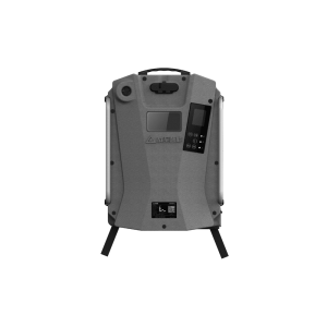
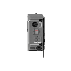
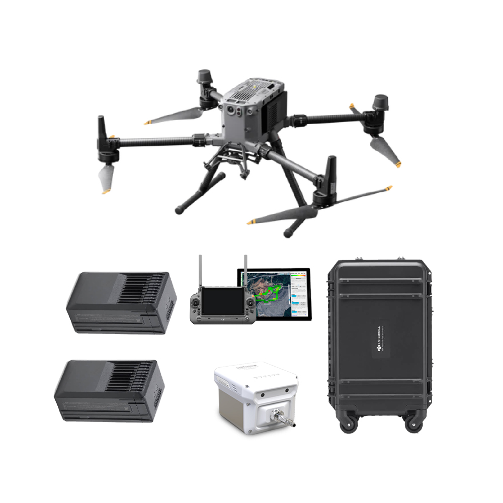
Sniffer4D Drone Based Multi-Gas Detection System
Out of stock
Sniffer4D Drone Based Multi-Gas Detection System
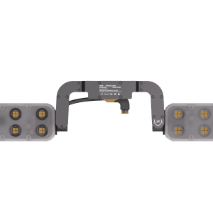
Sniffer4D consists of a multi-gas detection hardware and powerful analytic software. This system is able to measure and visualize real-time 3D gas concentration distributions. By providing timely & actionable information, Sniffer4D helps first responders, oil & gas industry, environmental agencies, and researchers improve work efficiency, mitigate risks, and reduce costs.
Contact us for more information
-
Description
Description
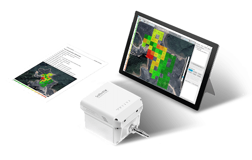
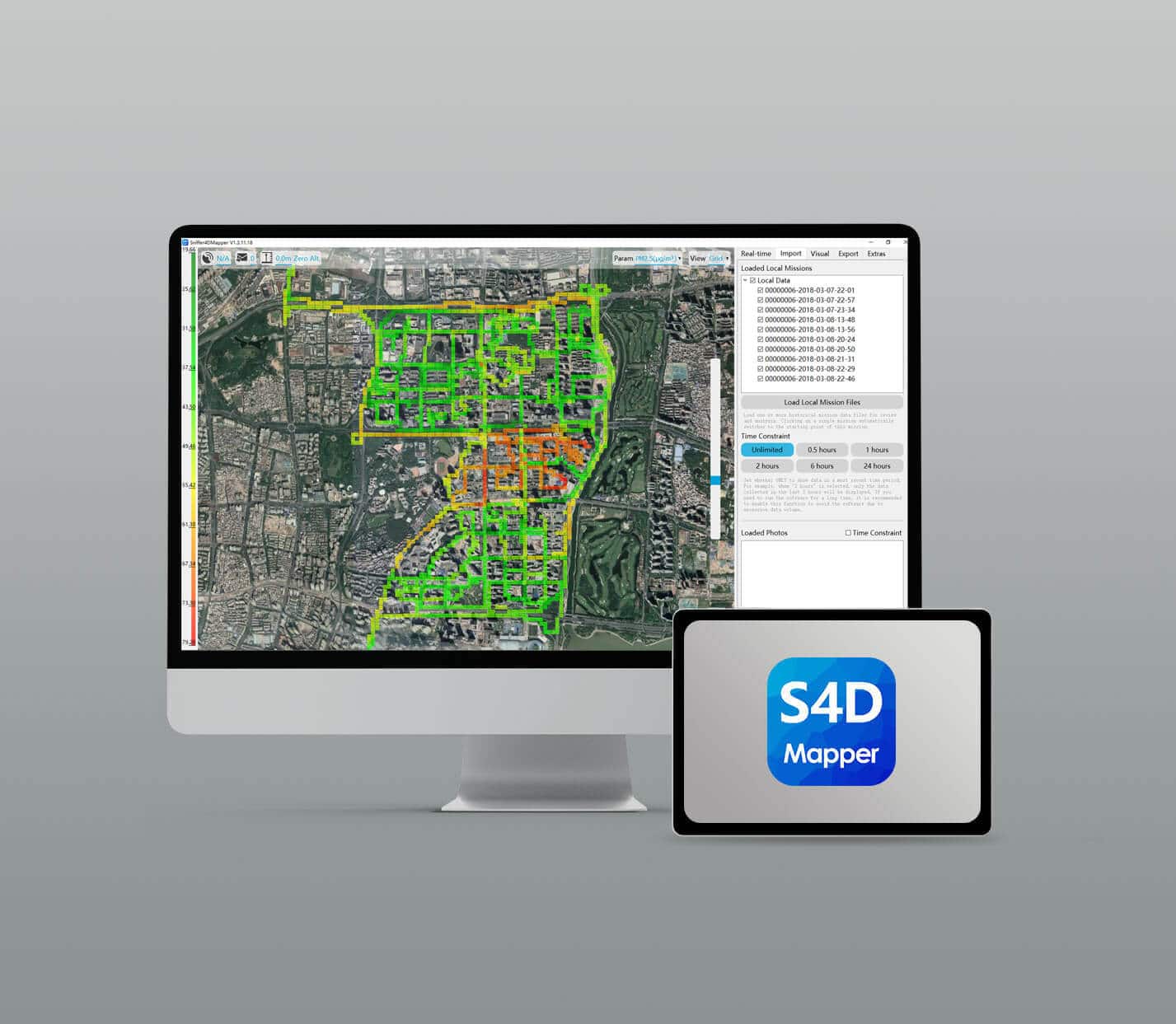
3 types of visualisation
Generate 2D grids, 2D contours and 3D point clouds of gases and particles in real time.
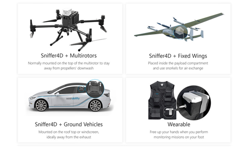
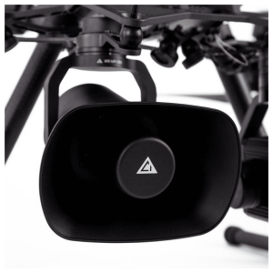
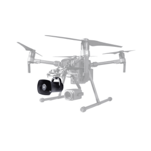
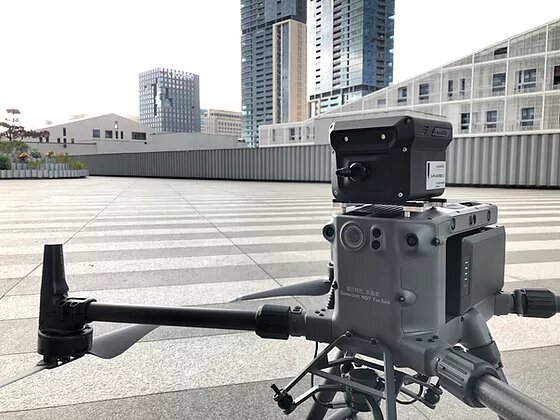
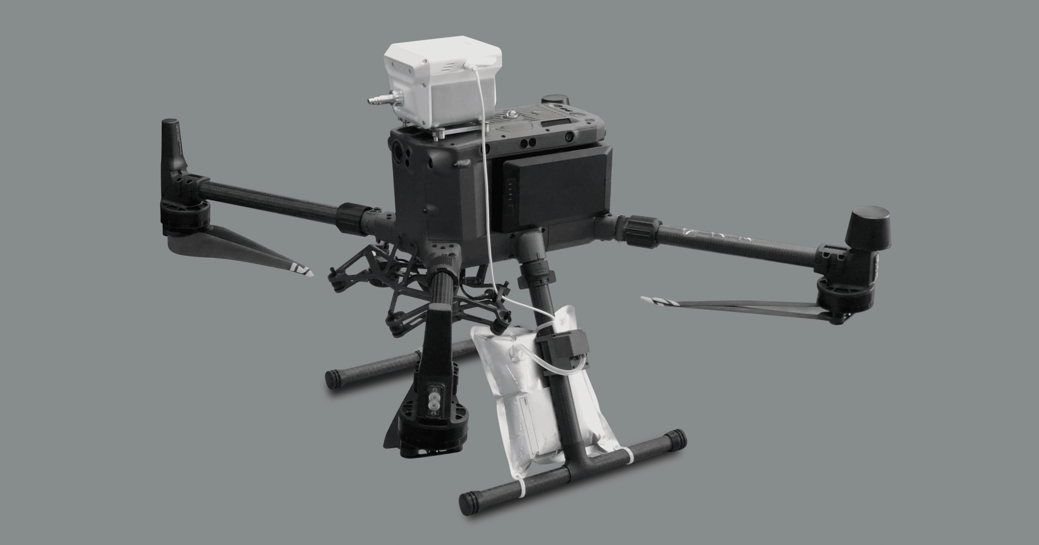
DESIGNED FOR DRONES & GROUND VEHICLES