


DJI Zenmuse L2 vs L3: The Ultimate LiDAR Payload Comparison
The landscape of aerial LiDAR is changing fast, and the latest generation...
Read More
The Next Frontier: High Altitude, High Accuracy LiDAR with the DJI Zenmuse L3
For years, the gold standard in surveying has been a compromise between...
Read More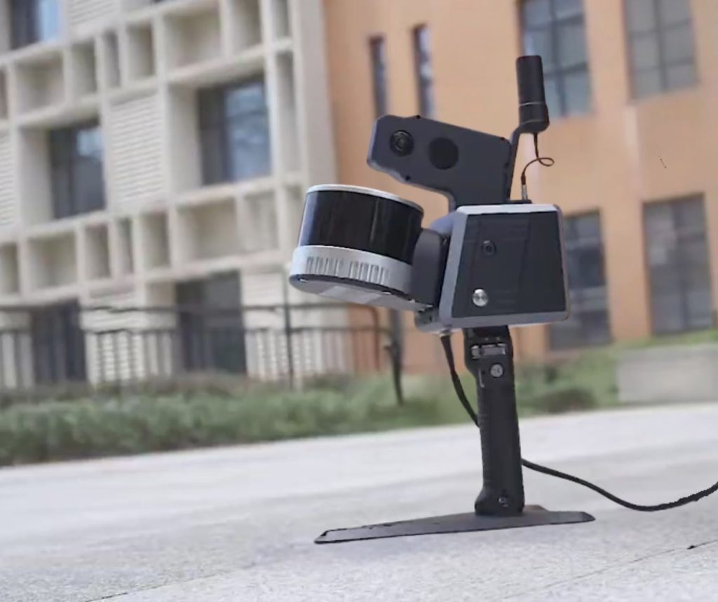
Faster, Smarter, Sharper: A Deep Dive into the SOUTH RobotSLAM Handheld Laser Scanner
For surveying, mapping, and BIM professionals today, the core problem is clear:...
Read More
Beyond RTK: Is the ALPS1 the Future of Surveying?
For decades, Real-Time Kinematic (RTK) surveying has been the gold standard for...
Read More
DJI Dock 3 in Public Safety: Rapid Deployment for Emergency Response and Disaster Management
When public safety agencies face critical incidents, from search and rescue to...
Read More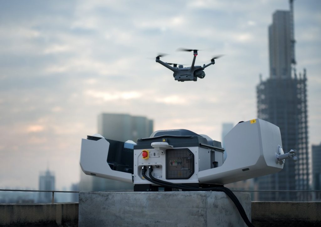
Autonomous Operations Unleashed: DJI Dock 3 with Matrice 4D for 24/7 Geospatial Monitoring
Organizations responsible for infrastructure and environmental assets are moving beyond scheduled inspections...
Read More