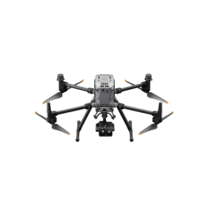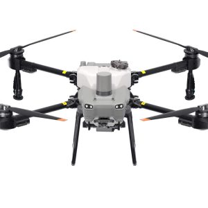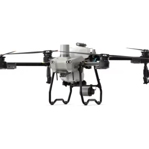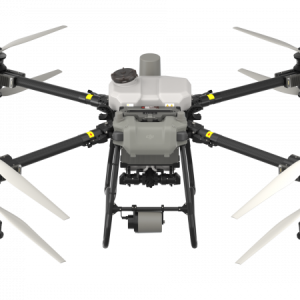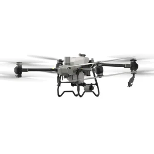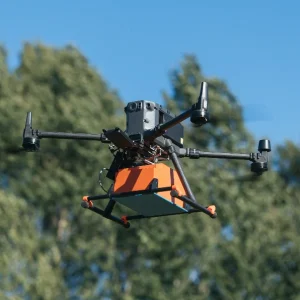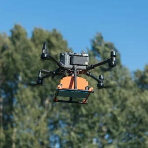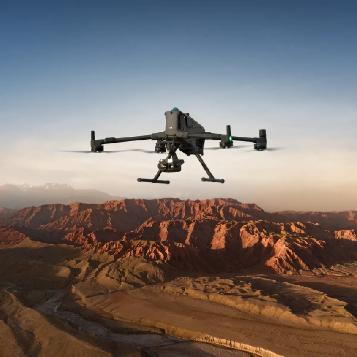
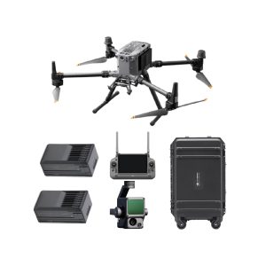
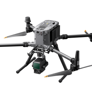
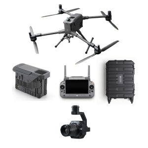
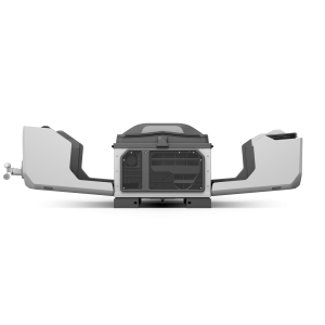
DJI Matrice 400

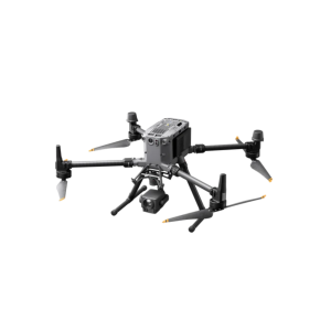
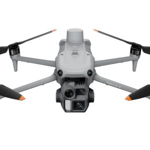
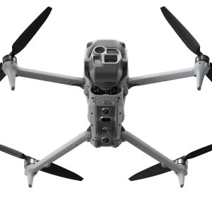
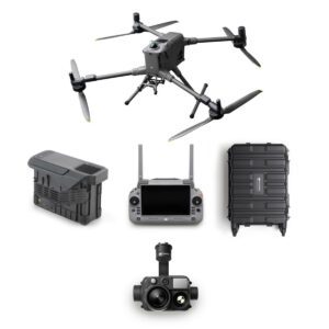
DJI Matrice 4 Series

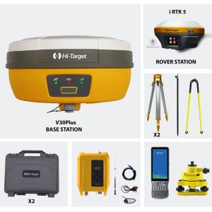
South Survey
FIND THE BEST DRONE FOR YOU
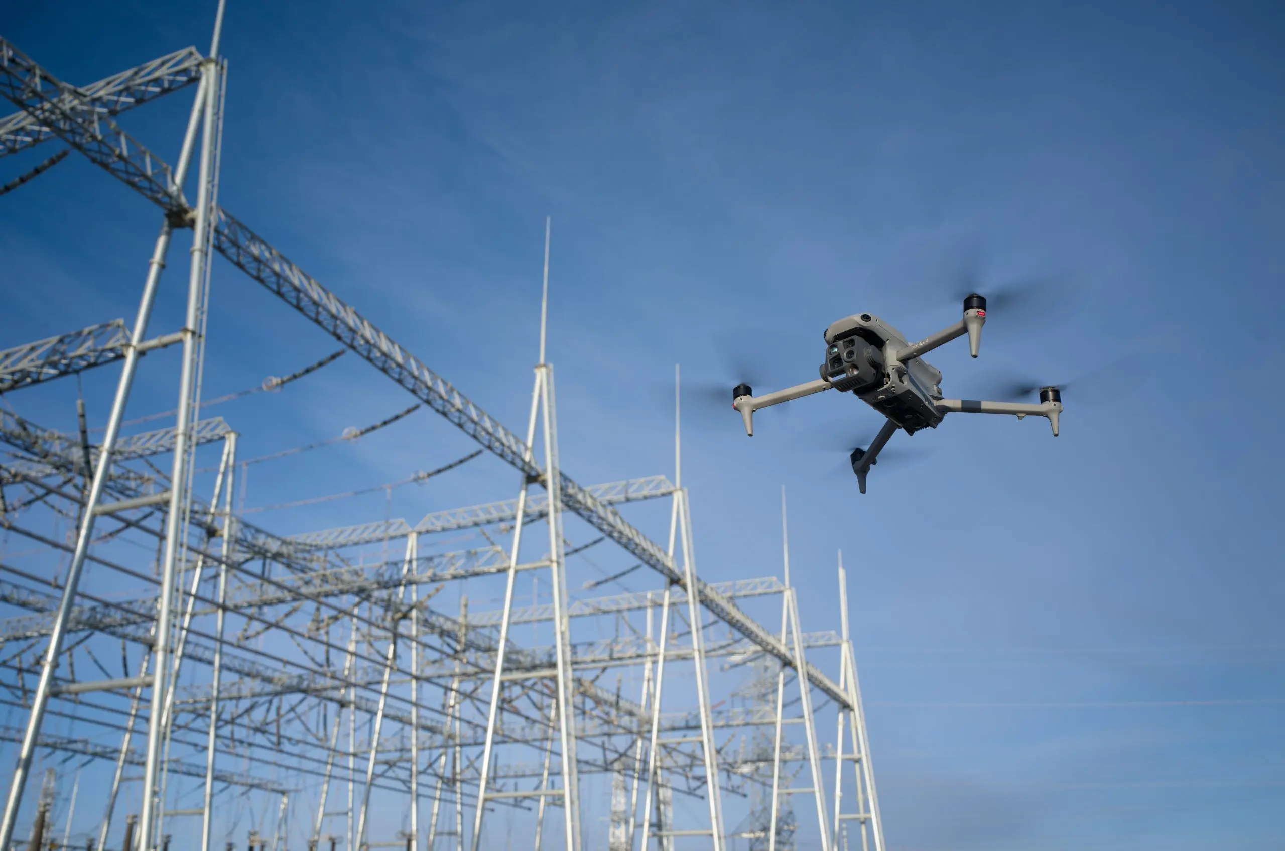
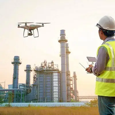
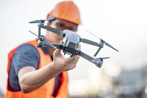
Industrial and Enterprise
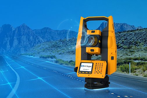
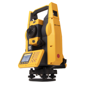
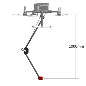
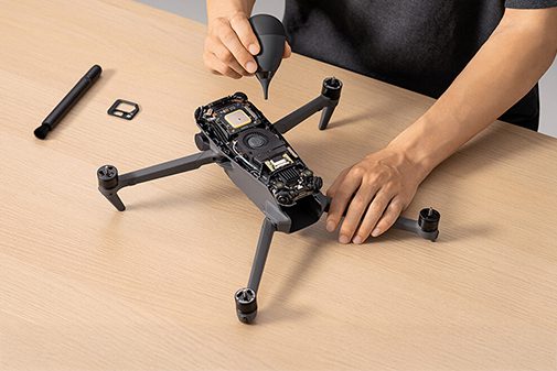
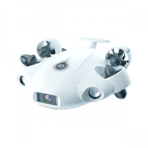
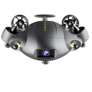
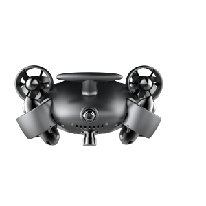
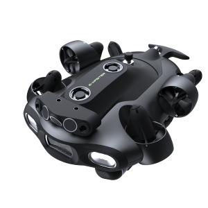
Survey Equipment
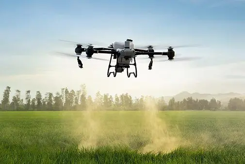
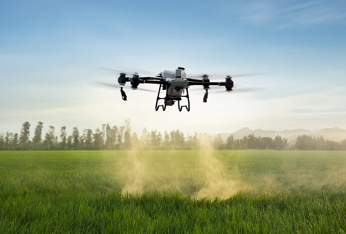
DJI agricultural drones are transforming modern farming with cutting-edge technology and innovative solutions. By leveraging the power of DJI drones, farmers can achieve greater precision, efficiency, and sustainability in their operations.
Popular DJI Agricultural Drone Models
DJI Agras T40: Known for its high-efficiency operation, the Agras T40 features a powerful spraying system and enhanced flight time, making it suitable for large-scale farming operations.
DJI Agras T20: This versatile model offers a robust build and advanced obstacle avoidance system, ensuring safe and efficient spraying in various terrains.
DJI Phantom 4 RTK: Ideal for precision mapping and surveying, the Phantom 4 RTK provides high-resolution imaging and accurate data collection for crop monitoring
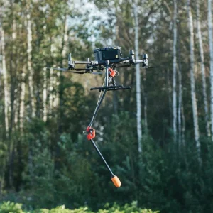
Agricultural Spraying Drones
In the rapidly evolving agricultural industry, technological advancements are paving the way for more efficient and sustainable farming practices. One of the most significant innovations in this field is the agricultural spraying drones. These drones are designed to optimize the application of pesticides, fertilizers, and herbicides, providing precision and efficiency that traditional methods cannot match.
Choosing the Right Agricultural Spraying Drone
When selecting an agricultural spraying drone, consider the following factors:
Coverage Area: Ensure the drone can cover the size of your farm efficiently.
Battery Life: Longer battery life means more extensive coverage without frequent recharging.
Payload Capacity: Depending on the size of your fields, choose a drone with a suitable payload capacity for the chemicals you need to apply.
Ease of Use: User-friendly interfaces and automated features make it easier for farmers to operate the drones without extensive training.
Support and Maintenance: Opt for drones from manufacturers who offer robust customer support and maintenance services.
Case Studies: Success Stories with Agricultural Spraying Drones
Increased Yield in Corn Farming: A farm in Iowa reported a 20% increase in corn yield after switching to drone spraying, attributing the success to precise application and timely pest control.
Cost Savings in Vineyard Management: A vineyard in California reduced its pesticide use by 30%, resulting in significant cost savings and improved grape quality.
Future Trends in Agricultural Spraying Drones
AI and Machine Learning Integration: Future drones will incorporate AI to analyze crop health and make real-time adjustments to spraying patterns.
Enhanced Data Analytics: Improved sensors and data collection methods will provide farmers with deeper insights into crop conditions and soil health.
Sustainability Focus: As environmental concerns grow, drones will play a crucial role in promoting sustainable agricultural practices by minimizing chemical usage and reducing carbon footprints.
DJI Agricultural Drones
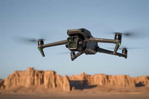
Camera Drones
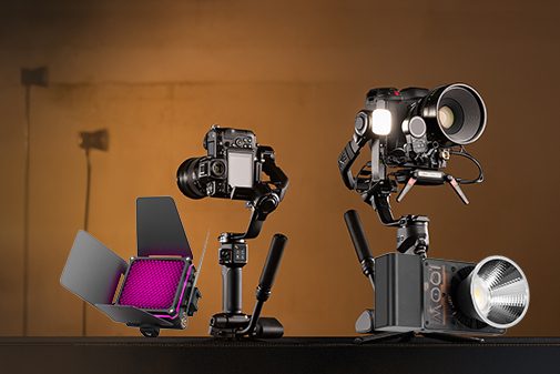
Gimbals & Photography Light
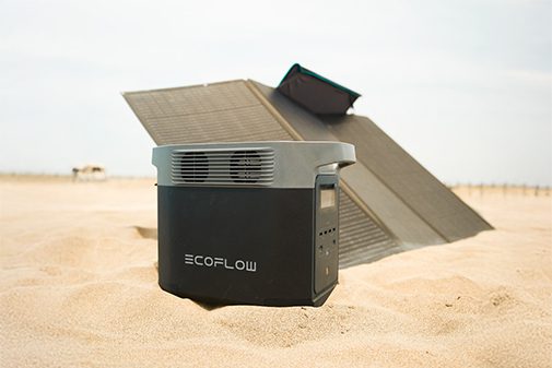
Portable Solar & Power Solutions
-
DJI Matrice 4 Thermal (M4T)
AED22,629.00 VAT Excl -
DJI MATRICE 400 THERMAL COMBO
AED72,597.00 VAT Excl

-
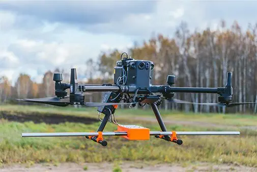
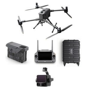
DJI Matrice 350 RTK
AED23,200.00 VAT Excl -
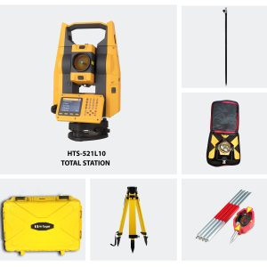
Hi-Target HTS 521L10 Optical Total Station (Full Set)
AED11,600.00 VAT Excl -
-
-
DJI Matrice 4 Thermal (M4T)
AED22,629.00 VAT Excl